Navigating the Best Time to Sail the Pacific Northwest: A Seasonal Overview
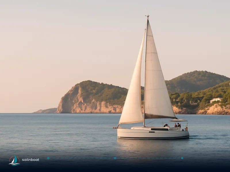
For most cruisers the optimal window to sail the Pacific Northwest is mid‑June through August—long daylight, lower rain risk and lighter, predictable diurnal winds. This guide gives monthly weather, wind behavior, route distances and the safety kit you need.

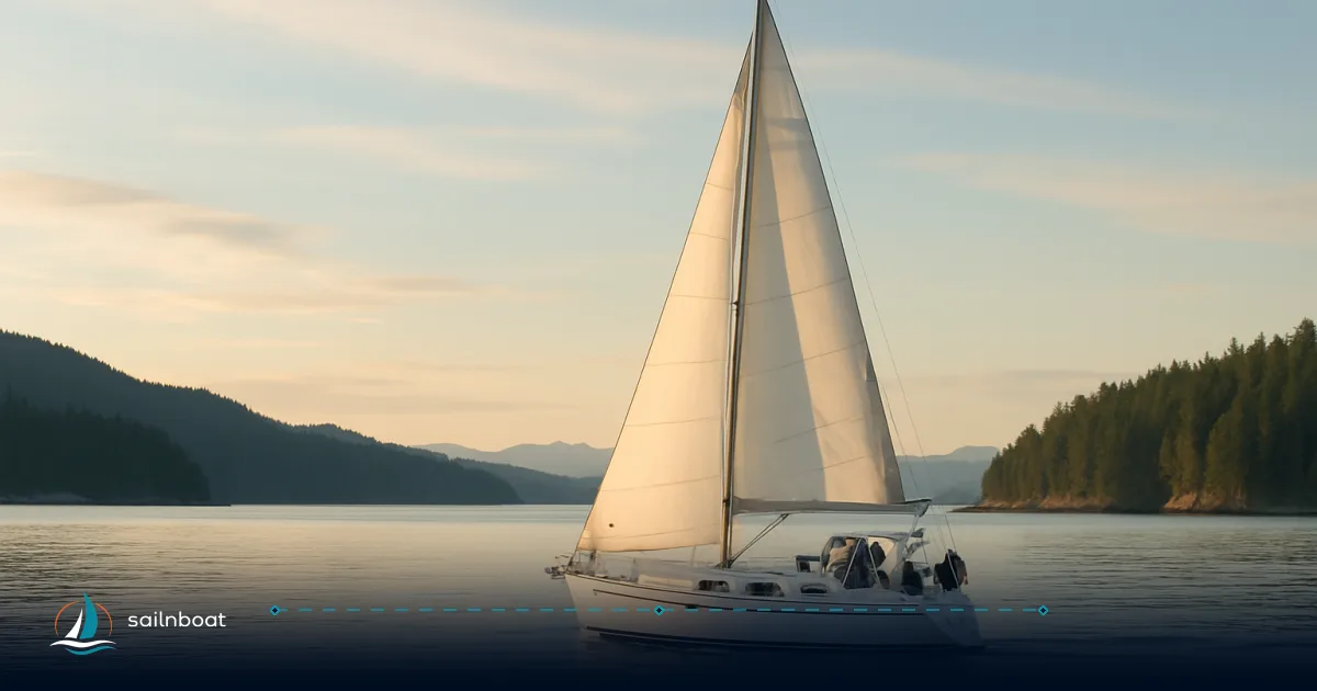
The single best window for the region is mid‑June through August: you get the warmest air, far fewer rainy days than spring, long daylight and the most predictable local winds. If your priority is comfortable cruising with the fewest weather interruptions, plan your main cruise weeks inside that window and structure any longer voyages to start and finish inside it.
Understanding Weather Patterns
The Pacific Northwest (PNW) climate is maritime and strongly seasonal: a wet cool season from roughly October–April and a dry, sunnier summer. Coastal and inland microclimates differ—Seattle, the San Juan Islands and Victoria share the broad pattern, but the San Juans sit in the rain shadow of the Olympics and are noticeably drier. Use a local station for final planning (Sea‑Tac, Friday Harbor, Victoria) because hour‑to‑hour conditions vary with local topography.
Monthly Weather Overview
Below is a compact, decision‑grade snapshot you can use when choosing dates. Air‑temperature and precipitation figures are regional normals (Seattle / nearby stations) and surface water figures are typical surface temperatures in the Salish Sea / San Juan area; wind columns give the usual operational expectation rather than a guaranteed value.
| Month | Mean air temp (°C) | Typical surface water (°C) | Precipitation (mm) | Typical winds (knots) |
|---|---|---|---|---|
| April | 10–11°C. | 8–10°C. | ~120 mm. | Variable; spring systems still active. |
| May | 12–14°C. | 10–12°C. | ~80 mm. | Building diurnal patterns; afternoons lighten/moderate. |
| June | 15–17°C. | 11–13°C. | ~65 mm. | Generally lighter (5–15 kt) in protected waters; channel breezes pick up midday. |
| July | 18–20°C. | 13–15°C. | ~10–13 mm. | Warmest, driest month; steady afternoon northerlies in many areas (10–20 kt locally). |
| August | 18–20°C. | 14–16°C (warmer pockets possible). | ~20–25 mm. | Similar to July; occasional residual marine clouds and channel gusts. |
Notes on the numbers and how to use them:
- Air‑temperature normals above are from the Sea‑Tac/Seattle climate station (1991–2020 normals) and reflect inland lowland conditions; coastal islands (San Juans) often run a degree or two cooler by air at night and substantially less rain in summer.
- Surface water in the Salish Sea and San Juans stays cool relative to air; even in warm summers, surface water is often in the low‑to‑mid teens °C, so open‑water immersion risk is real.
Peak Sailing Months
Optimal Sailing Periods
June through August is the region’s peak sailing season for three practical reasons:
- Rainfall is at its seasonal minimum across most of the area, reducing the number of weather‑canceled days.
- Daylight is long (especially in June), giving extended safe cruising windows for passage planning and contingency days.
- Summer synoptic systems are fewer; daily heating drives more predictable diurnal winds (land/sea breezes) that experienced local skippers can time.
Trade‑offs: crowds and marina occupancy peak in July–August (book slips and moorings early). Also expect the warmest surface water and best wildlife viewing in late July–August, but the water will still be cold relative to many other cruising regions—carry cold‑water PPE.
Key Sailing Routes and Destinations
The PNW is best explored as a set of flexible legs rather than one long hop. Below are the core route options most sailors plan for in the peak season.
| Route | Approx. distance (nm) | Typical time at 6–8 kt | Recommended months | Notes |
|---|---|---|---|---|
| Seattle → Friday Harbor (San Juan Is.) | ~60–65 nm. | ~8–11 hours (depending speed). | June–Aug. | A common overnight passage; plan Admiralty/Admiralty Inlet transits and customs if continuing to BC. |
| Seattle → Victoria (Inner Harbour) | ~65–70 nm. | ~9–11.5 hours. | June–Aug. | International crossing: documentation and CBSA reporting rules apply when you land or make a stop in Canada. |
| Seattle → Port Townsend | ~30–35 nm. | ~4–6 hours. | May–Sep. | Useful first leg for refit, provisioning, or as a gateway to the San Juans. |
| Island hops (Friday Harbor ⇄ Orcas ⇄ Lopez) | 5–25 nm between anchorages. | Day hops. | June–Sep. | Short legs, sheltered anchorages; high summer is ideal but moorings fill fast. |
Cruising speeds and leg times: plan using your vessel’s realistic cruising speed (typical monohulls 6–8 kt, cruising cats 8–12 kt). Add margins for tides, winds, and motoring through slackless narrows. If you plan overnight passages, schedule arrival daylight or in good visibility—many harbors have narrow or shallow approaches.
Safety Considerations for Sailing
The PNW rewards cautious planning. The two dominant safety themes are cold water and strong tidal flows in narrows.
- Cold water and immersion risk: surface water commonly sits in the 10–16°C range during summer; cold‑water shock and rapid heat loss can incapacitate a person quickly. For this reason, many clubs and race organisers recommend or may require wetsuits or drysuits when water is below roughly 15°C; carry spare warm layers and plan realistic man‑overboard drills.
- Tidal narrows and strong currents: passages such as Deception Pass and Admiralty Inlet develop currents that can exceed 6–8 knots at peak. Transit only at published slack times unless you have local experience and a boat capable of coping with the flow. Use NOAA tidal‑current predictions for timing.
- Communications and emergency kit: VHF (and DSC) is essential; carry a hand‑portable VHF, an EPIRB or PLB, AIS (or at least awareness of AIS targets), charged shore‑power batteries and a hard copy chart and tidal atlas. Small‑craft advisories are common outside summer—monitor the NWS/METAREA briefings.
- Border crossings: if you intend to visit Victoria or other Canadian ports, all passengers must have acceptable ID (passport or NEXUS card in most cases) and you must follow CBSA reporting procedures when you land or moor. Failure to report can carry fines. Plan the paperwork into your itinerary.
Essential Safety Gear (practical list)
- USCG‑approved lifejackets (one per person) plus tethering lines for exposed decks.
- VHF fixed + handheld with charged spare batteries.
- EPIRB or PLB suitable for your cruising range.
- Immersion suits, wetsuits or drysuits for crew likely to be in the water. Many programs recommend or require wetsuit/drysuit when water is under ~15°C, but confirm with your operator or club.
- Chartplotter and paper charts, tidal atlas or app with reliable current predictions, backup power and a handheld GPS.
- Medical kit sized for your trip and training for cold‑water first aid.
Impact of Seasonal Winds
Wind patterns in the PNW are a mix of synoptic storm systems (fall–winter) and locally forced diurnal winds (summer). Key operational rules:
- Summer diurnal winds: as the land heats, valley and mountain circulations create a tendency for light southerlies in the morning and northerly or northwesterly sea‑breezes in the afternoon in many channels. That produces a reliable midday breeze that can strengthen into the 10–20 kt range in exposed passages—great for sailing if you plan around it.
- Channels and straits are wind amplifiers: the Strait of Juan de Fuca, Admiralty Inlet and Rosario/Deception narrows can funnel and accelerate winds—expect higher gusts than open sheltered coves.
- Fall/winter storms: from roughly October to March, frontal systems and strong low‑pressure cells bring sustained strong winds and large fetch—small craft advisories and gale warnings are common; avoid longer passages in these months unless your vessel and crew are prepared for heavy weather.
Tactical planning tip: time narrows and long legs to avoid the peak afternoon gust window if you prefer lighter conditions; if you want the breeze, plan afternoon sail legs through channels.
Preparing for Your Sailing Adventure
Practical preparation reduces surprises.
- Book early: prime slips, mooring balls and inter‑island services fill in July–August. Reserve marinas and moorings several months ahead for peak weeks.
- File a float plan and carry printed checklists: include intended route, ETA windows, fuel and provisioning points and an emergency contact ashore. Use tide/current tables from NOAA for Deception Pass, Admiralty Inlet and other narrows.
- Crew briefing: practice MOB recovery in calm conditions, ensure every crewmember knows where the lifejackets and tether points are, and confirm someone ashore has an up‑to‑date itinerary.
- Charter handover expectations: many charter bases run morning handovers and expect return mid/late afternoon on the last day—check your contract for check‑in/check‑out times (often around 08:00–10:00 for check‑out and late afternoon for return, but this varies by operator). Treat the handover checklist seriously—inspect the boat jointly and photograph any pre‑existing damage.
- Plan for fuel and spares: some island fuel docks have limited hours or outages; carry spare fuel and a basic spares kit (impellers, filters, belts, engine oil).
- Legal and customs: if your route crosses into Canadian waters and you intend to stop ashore, carry passports or trusted‑traveller cards and follow CBSA reporting requirements; similarly be ready to report to US CBP on return as required. Failing to report when required can incur penalties.
Plan your itinerary so that long offshore legs begin and end inside the peak window (June–August) if you want the most benign overall conditions. Outside that window you can still have excellent cruising days, but you must accept a higher probability of rain, stronger winds and limited services.
Plan your charter, kit the boat for cold water, and pick slip reservations while slots still exist—then go. Your best weeks will be the ones that combine a sensible route, slack‑timed narrows and weather windows that match your crew’s comfort level.
Plan your sailing adventure in the Pacific Northwest today.
Frequently Asked Questions
Air temperatures typically rise from ~10–11°C in April to ~19–20°C in July–August; precipitation drops dramatically by summer (June–August often under 40 mm/month at Sea‑Tac normals). Surface water remains cold—often 10–16°C—so plan cold‑water precautions.
The core season is mid‑June through August: warmer air, the driest months of the year in most of the region, long daylight and more predictable diurnal winds.
Top options are Puget Sound daylegs and island hops, the San Juan Islands (Friday Harbor, Orcas, Lopez), and the Seattle–Victoria crossing to Vancouver Island; distances range roughly 30–65 nautical miles depending on start and finish.
Carry VHF (and AIS if possible), an EPIRB/PLB, lifejackets and a knife; add wetsuits/drysuits for cold water, plan tidal narrows for slack water, and monitor marine forecasts and tidal predictions.
Summer brings fewer synoptic storms and stronger diurnal (sea‑breeze/land‑breeze) patterns producing predictable afternoon northerlies in many areas; fall and winter bring stronger southwesterly and westerly storms with gusts that commonly trigger small‑craft advisories.
Written by
Sailnboat Editorial
The Sailnboat editorial desk covers yacht and boat chartering worldwide — routes, bases, seasons, boat types, paperwork and the practical costs that decide a trip. We are a charter marketplace, not a boat owner or a local agency: what we sell is judgement and support, so our guides are written to help you make a decision, not to sell you a specific boat. Every guide is checked against live operator and marina data before it goes out.
Fact-checked against live operator and marina data, and published under our editorial standards. Last reviewed: .