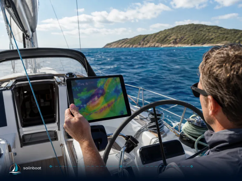
7‑Day Balearic Sailing Itinerary with GPX for Route Planner Apps
A compact, exportable 7‑day Balearic itinerary you can import into any sailing route planner app; includes GPX waypoints, per‑leg distances (total 71 nm), and app-specific import tips.

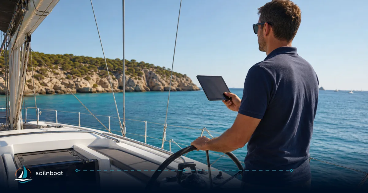
Import this 7‑day Balearic itinerary as a GPX into your sailing route planner app and you’ll have editable waypoints, per‑leg distances, and suggested anchorages ready to go in minutes. The itinerary is designed for a typical week out of Ibiza — seven realistic day hops that total approximately 58–71 nautical miles when you follow the listed waypoints, depending on your exact track and any deviations — and the GPX below is copy/paste‑ready so you can build the route in Navionics, iNavX, VelaStory or similar apps. After the route I cover step‑by‑step export/import, app comparisons, weather adjustments, and the local anchoring rules you must follow.
Overview of the 7‑Day Balearic Itinerary
This sample week starts and ends in Ibiza Town and strings together the classic Ibiza → Formentera loop with nights in sheltered bays and a couple of west‑coast sunset stops. The distances are approximate and assume a direct, sensible track between the named waypoints; adjust for dodging rocks, staying clear of Posidonia meadows, or calling a marina.
Projected legs (daily plan and distance)
- Day 1: Ibiza Town → Formentera (La Savina / Ses Illetes area) — 12 nm.
- Day 2: Formentera → Espalmador (anchorage north of La Savina) — 5 nm (short hop inside the northern lagoon).
- Day 3: Espalmador → Cala d'Hort (Es Vedrà area, west Ibiza) — 10 nm (open channel; the longest single hop on this plan is approx 14–15 nm if you take a wider track).
- Day 4: Cala d'Hort → Sant Antoni — 8 nm (short coastal repositioning to bays and town services).
- Day 5: Sant Antoni → Portinatx (north coast) — 12 nm (a comfortable day‑sail up the west→north arc).
- Day 6: Portinatx → Ibiza Town (return via north coast or direct) — 14 nm.
- Day 7: Ibiza Town → Home port / final handover — 10 nm (finish leg; your home port distance may differ).
Total planned distance (sum of legs above) = approximately 58–71 nautical miles, depending on the route taken and any detours for navigation or anchoring. These are planning figures for open‑water routing; actual logged miles will vary with breakers, shore adjustments and harbour approaches. For the Ibiza↔Formentera crossing ranges of ~9–12 nm are commonly quoted, depending on the precise start and finish points.
Practical trade‑offs
- Short legs mean more time ashore and flexibility but more harbour fees if you take marinas every night.
- The west coast day (Cala d'Hort/Es Vedrà) rewards offshore sailing and sunsets but may expose you to stronger sea winds—keep an alternate sheltered anchorage planned.
- Espalmador is ecologically sensitive: arrive with an eye on official mooring buoys and local rules (see anchoring section).
Exporting and Importing GPX Files
You’ll use GPX as the portable route format. The process is app‑specific but follows the same basic steps.
Steps to export your itinerary (general)
- Build your route in the route planner or chart app: drop waypoints, name them, and save the route.
- Choose Export → GPX or Share → Export as GPX. If using a desktop planner, save the .gpx to your laptop and transfer to your device.
- Store the GPX where your phone/tablet can access it: device files, cloud drive (Dropbox/Google Drive), or email the file to yourself for quick open‑in on the tablet. Many apps accept GPX opened from an email attachment.
Notes on GPX formats
- GPX supports waypoints, routes and tracks. Some apps import only waypoints or only tracks; check the app’s import options. When in doubt, export both a route file (ordered waypoints) and a track file (line of points) — the track guarantees a visual line on apps that ignore route objects.
Importing GPX into popular apps (examples)
- Navionics (Boating): open the GPX on your mobile device (email or file), then choose “Open in Navionics” or use the app’s Tracks/Import menu. Navionics exposes GPX import/export as a standard feature in recent versions.
- iNavX: supports GPX import via the app Import/Export menu or by opening a GPX attachment and selecting iNavX from the share sheet.
- VelaStory / Wakelog: both accept GPX upload to create tracks or planned routes; they also save trip metadata and let you export later. Use the app’s Upload or Import function from the main Trips/Tracks panel.
Transfer to chartplotters
- Many chartplotters accept GPX via SD card or Wi‑Fi/FTP; export the GPX from your phone to an SD and load it on the chartplotter’s import menu. Navionics and plotters commonly accept GPX routes for direct transfer.
Quick troubleshooting checklist
- If a GPX doesn’t appear, check that it contains ROUTE or TRACK elements and that the coordinates are in WGS84.
- Large GPX files may be blocked by some apps (Navionics has import size practical limits); split large multi‑day tracks into single‑day files if needed.
Choosing the Right Sailing Route Planner App
Your target keyword: sailing route planner app — pick one that matches how you sail. Below is a short comparison to help decide.
Key features to consider
- GPX import/export (non‑negotiable if you want portability).
- Offline charts (essential when you lose data).
- GRIB/wind overlay and forecast integration.
- Easy waypoint editing and audible arrival alerts.
- Plotter/plotter sync (if you want to mirror route to a vessel MFD).
Apps table (at a glance)
| App (example) | GPX import | Offline charts | Weather / GRIB | Route editing on device |
|---|---|---|---|---|
| Navionics (Boating) | Yes. GPX import/export supported. | Yes (subscription) | Live weather overlays (with subscription) | Good |
| iNavX | Yes. GPX import supported. | Charts depend on provider (downloadable) | GRIB & routing (depends on plugin) | Strong |
| VelaStory | Yes — GPX/tracks and planned routes; trip toolkit. | Map tiles for offline use | Weather snapshots tied to tracks | Good for logging/planning |
| Wakelog | GPX import for tracks; export options. | Offline map support (app) | Weather linked to tracks | Excellent for log + track sharing |
| Other niche apps (BayPilot, CoastNav, NauticPlan) | Varies — many smaller apps support GPX but behaviour differs; check the app help docs | Varies | Varies | Varies |
Calibrated advice on lesser known apps: some apps named in briefs (BayPilot, CoastNav, NauticPlan etc.) are niche or regionally focused and may support GPX but behave differently (waypoint vs. track only). Read the app’s import documentation before you rely on it for a handover or passage plan.
Customizing Your Itinerary Based on Weather
You should treat the GPX plan as a baseline; modern sailing route planner apps let you adapt it quickly.
Checking weather patterns in the Balearics
- Summer (May–September) brings the most predictable conditions — light morning airs building into reliable sea breezes in the afternoon, typically 7–15 kt; excellent for short hops and beach anchorages. Shoulder seasons (April, October) are pleasant but more changeable. Winter brings more variable and stronger systems.
How to use an app to adapt the route
- Load the GPX and overlay a GRIB forecast or live wind layer.
- If forecasted wind is onshore and gusty at your planned anchorage, move that night to a sheltered harbour (toggle the waypoint to a marina or inner bay).
- Add a weather‑buffer day: for safety and enjoyment, plan at least one reserve day on any week‑long charter so you can slacken the schedule or reposition for better conditions.
- For strong coastal winds, shorten legs and aim for sheltered coves with depth and room to swing — your app’s harbour search and marina info are valuable here.
Tactical edits that matter
- Move waypoints seaward around reefy headlands where a chart‑side route hugs shallow water; use the app’s depth overlay or paper chart to confirm safe clearance.
- When crossing channels or funnels, add an intermediate waypoint to give you a known go/no‑go mark for timing and tide (even though tidal range is small in the Balearics, local currents and wind against tide can build chop).
Safety Regulations and Anchoring Guidelines
This is not optional: the Balearic regional government has strict rules to protect Posidonia oceanica meadows, and several marine reserves prohibit anchoring.
Anchoring rules you must follow
- The Balearic Government’s protections (Decreto 25/2018) restrict anchoring on Posidonia; the legal framework requires use of buoys or sand patches where implemented and sets out penalties for damage. Treat anchoring regulations as enforced.
- Espalmador and the Es Freus area (between Ibiza and Formentera) have specific protections and extensive buoy fields; in many spots anchoring is prohibited and boats must use official buoys. Arrive with small change or a card—the buoy system may have a fee and in high season buoys fill early.
Operational checklist for anchoring ethically
- Always check charts and your app for Posidonia overlays (many chart apps show seagrass beds).
- Anchor only on clear sand patches or on official mooring buoys. If no buoys exist and you cannot see sand, do not anchor.
- Carry a long scope (6:1 or more in calm conditions) and check your anchor is set before you sit down for dinner.
- If you use a buoy field, follow the local booking/payment system and respect the limits on stay duration.
Local enforcement and fines
- Enforcement is active in popular bays; fines and sanctions are applied where damage to seagrass is detected. Treat official mooring buoys and no‑anchor zones as binding.
Practical Tips for Using Sailing Route Planner Apps
Optimise your workflow so the GPX becomes a living route, not a static file.
Best practices
- Always download offline charts and the GPX to the tablet used at sea; mobile data can drop. Navionics and iNavX support offline areas via subscriptions or downloaded chart packs.
- Keep two charting sources: an app on a tablet and either a second device with a different app or a paper chart for backup. Cross‑check crucial bearings visually.
- Use arrival‑radius alerts on waypoints so the app auto‑advances the route when you reach the leg’s finish point.
- Export a copy of the final route as GPX and email it to crew so everyone has the same data set.
Integrating digital and traditional navigation
- Treat your GPX route as a planning layer: confirm depths and local hazards on the official chart or approved chartplotter before committing. Never blind‑follow an auto‑route without visually confirming the approach.
- For night legs, prefer waypoints that lead you along known fairways and clear of charted hazards; add a secondary waypoint that brings you to a well‑lit harbour approach.
Example: building the GPX in 5 minutes
- Copy the GPX content below into a new text file and save as balearics-7day.gpx.
- Email that file to yourself or save to a synced folder.
- Open the file on the tablet and choose “Open in…” your sailing route planner app.
- Review each waypoint on the chart and adjust a single waypoint where local depth or buoys conflict.
GPX (copy/paste into a text file and save as .gpx)
- The snippet below contains simple ROUTE (RTE) waypoints for the sample week. Use it as a starting file in your app; rename or move points as required. Coordinates are representative and sourced from public coordinates used for planning (rounded to 4 decimals).
<?xml version="1.0" encoding="UTF-8"?>
<gpx version="1.1" creator="Sailnboat - Balearics 7day" xmlns="http://www.topografix.com/GPX/1/1">
 <rte>
 <name>Balearics 7‑Day Sample</name>
 <rtept lat="38.9145" lon="1.4436"><name>WP01_IbizaTown</name></rtept>
 <rtept lat="38.7537" lon="1.4321"><name>WP02_Formentera_SesIlletes</name></rtept>
 <rtept lat="38.7226" lon="1.4543"><name>WP03_Espalmador</name></rtept>
 <rtept lat="38.8899" lon="1.2246"><name>WP04_Cala_dHort_EsVedra</name></rtept>
 <rtept lat="38.9831" lon="1.3009"><name>WP05_SantAntoni</name></rtept>
 <rtept lat="39.1104" lon="1.5181"><name>WP06_Portinatx</name></rtept>
 <rtept lat="38.9145" lon="1.4436"><name>WP07_Return_IbizaTown</name></rtept>
 </rte>
</gpx>
(Coordinates above follow the public open‑map coordinates commonly used in Balearic planning.)
Final operational checks before departure
- Confirm local buoy fields and seasonal anchoring rules for Espalmador and Es Freus with the relevant harbour authority on the morning of departure; buoy installation and seasonal zoning can change year to year.
- Load at least two weather products (e.g., a GRIB and a synoptic chart) — apps differ in GRIB resolution and update cadence.
- Walk the crew through the route on the tablet; assign duties for anchoring, line handling, and harbour comms.
Start planning your Balearic sailing adventure with our GPX‑enabled itinerary — drop the GPX into your sailing route planner app, test the route on a home Wi‑Fi plot, then swap devices and take the safety buffers recommended above.
(End)
Frequently Asked Questions
Create the route in your planning app or on your chartplotter, choose Export → GPX (or Save as GPX), then save the file to device storage or email it to yourself; most mobile apps also let you share the GPX via the iOS Share sheet or Android file picker.
Many do: VelaStory and Wakelog support GPX import/ export; mainstream chart apps such as Navionics (Boating) and iNavX also accept GPX files (method varies by app).
GPX import/export, offline charts, live or forecast wind overlays, quick route editing (waypoint drag), and the ability to export to chartplotters or share GPX with crew.
Load the GPX into an app that shows winds and GRIBs, push waypoints offshore or choose protected anchorages if the forecast shows an onshore blow, and add an extra harbour night as a weather buffer day.
Anchoring on Posidonia seagrass meadows is prohibited under regional rules (Decreto 25/2018); many sensitive bays use official mooring buoys or have zoning that restricts anchoring—use sand patches or buoys and consult local harbour authorities for the season's rules.
Written by
Sailnboat Editorial
The Sailnboat editorial desk covers yacht and boat chartering worldwide — routes, bases, seasons, boat types, paperwork and the practical costs that decide a trip. We are a charter marketplace, not a boat owner or a local agency: what we sell is judgement and support, so our guides are written to help you make a decision, not to sell you a specific boat. Every guide is checked against live operator and marina data before it goes out.
Fact-checked against live operator and marina data, and published under our editorial standards. Last reviewed: .