Best Anchorages in the Bay of Kotor: A Comprehensive Guide
Practical, chart-focused guide to the best anchorages in the Bay of Kotor with coordinates, depths, bottom type, shelter from the Bora and nearby facilities.

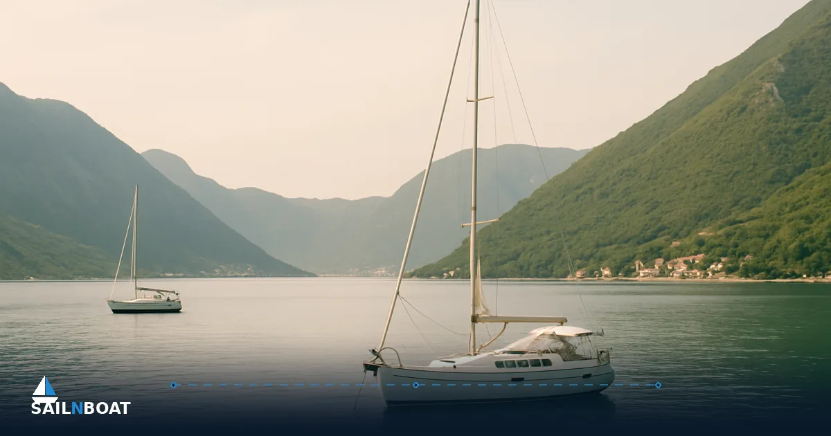
The Bay of Kotor anchorages you choose must match wind, draft and the services you need. For short stays pick Perast, Ljuta or Prčanj; for fuel and technical support work from Tivat/Porto Montenegro; for maximum shelter use the inner arms (Risan, Morinj) when a Bora is forecast.
Top Anchorages in the Bay of Kotor
Practical, decision-ready entries for the anchorages you will actually use. Each subsection gives: coordinates (WGS84), typical depth range in metres, holding type, how much shelter from the Bora, onshore facilities and approach notes.
Risan Bay
- Coordinates: approximately 42.5133° N, 18.7000° E.
- Depth: average depth is around 25–30 m, with some deeper points; depths near the quay may be variable and not consistently shallow enough for anchoring.
- Bottom / holding: soft silt/mud over deeper silty layers — generally good holding, though fresh-water springs and silt can cause variability close to shore.
- Shelter from Bora: among the better options — the head of the bay is protected by high terrain; however, local squalls can still funnel into narrower channels. Plan to anchor closer into the lee when a Bora is forecast.
- Facilities: limited quays and small restaurants in town; for fuel or mechanical work you must run to Tivat/Porto Montenegro.
- Approach notes: watch for submarine cables and restricted areas charted near port approaches; keep a conservative swinging radius because the bay narrows and depths change quickly. Admiralty/Pub. sailing directions list explicit prohibited areas near the approaches — consult current charts and the harbormaster.
Perast (anchorage off the town and between the islets)
- Coordinates: 42.48694° N, 18.69917° E (Perast town). Anchor positions are just seaward of the promenade near the islets.
- Depth: typical anchoring depth 5–15 m depending on how close to the quay you set the hook; classic overnight spots are 6–12 m.
- Bottom / holding: sand and mud with weed in places — generally reliable holding where sheltered from prevailing breeze.
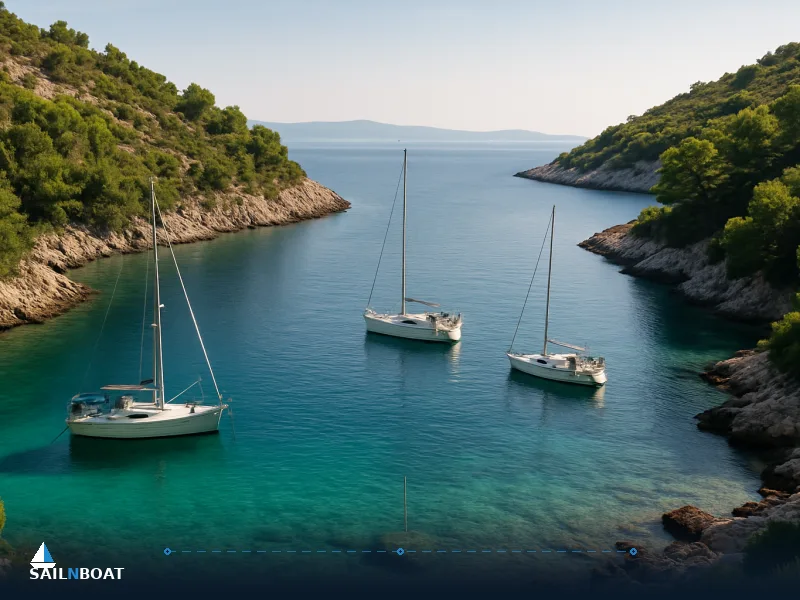
- Shelter from Bora: very good inside the Perast curve; the islets (Our Lady of the Rocks and St. George) and the surrounding headland reduce fetch, making it one of the safest inner anchorages in a Bora event.
- Facilities: several restaurants lining the promenade, dinghy landing points and limited visitor mooring buoys; no full-service yacht fuel at the town — use Tivat/Porto Montenegro for bunkers. Boat taxis run to the quay; expect seasonal opening hours; dinghy landings are normally possible at low-to-mid tide but space is limited in summer and some moorings are reserved for local boats.
Bigova Bay
- Coordinates: ~42.4670° N, 18.6830° E.
- Depth: typically 5–10 m close to the beaches, deepening to 12–18 m toward the centre.
- Bottom / holding: predominantly mud and soft sand with weed patches; holding is generally good but examine the bottom with your sonar when setting.
- Shelter from Bora: moderate — the bay is partly exposed to northerly gusts but the southern headland provides a lee if you anchor well inside the bay. Avoid the outer roadstead during a strong Bora.
- Facilities: small seasonal konobas and a dinghy landing; no formal fuel or repair services — use Tivat for bunkers and technical work.
- Approach notes: the bay has narrow approach channels and local fishing gear; keep speed down and watch for unlit nets at night.
Ljuta (inner arm, east side of the bay)
- Coordinates: approximately 42.4920° N, 18.7140° E (Ljuta river mouth).
- Depth: shallow close in — 2–6 m for convenient overnight anchoring; deeper water to 10–12 m a little further off.
- Bottom / holding: fine sand and silt with generally reliable holding; avoid very close inshore where freshwater outflow can leave soft silt.
- Shelter from Bora: excellent when tucked into the river mouth area; the surrounding cliffs cut wind and reduce fetch substantially.
- Facilities: minimal — a couple of small restaurants and a landing; provisioning and fuel require a short hop to Perast or Tivat.
- Approach notes: beware of shoaling at the river entry and of changed depth after heavy rain; approach slowly and use lead lines in marginal depth.
Prčanj
- Coordinates: ~42.4600° N, 18.6760° E.
- Depth: 3–10 m near the old quay and beaches; anchor a little off the coast for cleaner swinging room.
- Bottom / holding: sand with light weed; generally reliable.
- Shelter from Bora: good inshore shelter when anchored near the village end of the bay.
- Facilities: a handful of restaurants, small grocers and seasonal boat services; fuel and haul-out are available in Tivat.
- Approach notes: the quay can be busy with local traffic; plan a stern-to raft if you prefer direct shore access, but confirm availability with local operators.
Morinj (Kumbor area — southern inner bay)
- Coordinates: ~42.4385° N, 18.6440° E.
- Depth: depths in anchoring areas are variable and may be shallower in the inner arm, but specific ranges are unconfirmed; deeper water is found off the main channel.
- Bottom / holding: sand and mixed mud; holding is generally good in sheltered spots.
- Shelter from Bora: very good — Morinj is one of the quieter inner arms and an appropriate refuge in a forecast Bora.
- Facilities: small marina/mooring options and seasonal restaurants; full services at nearby Tivat.
- Approach notes: approach channels are clear but narrow; keep away from marked fishing areas.
Kotor roadstead (outside the Old Town)
- Coordinates: 42.4247° N, 18.7719° E (Kotor Old Town reference).
- Depth: varies widely — 5–25 m depending on position; common visitor anchor depths are 6–15 m.
- Bottom / holding: mixed sand, mud and weed; good holding in the sheltered bays immediately around the old town.
- Shelter from Bora: variable — sides of Kotor’s inner bays are protected, but exposed roadsteads and frontal headlands can be vulnerable to funnelled gusts.
- Facilities: Kotor offers the most comprehensive shore facilities in the bay — provisioning, restaurants, chandlery, and ferry connections; lack of a central fuel station inside the old town means bunkering is usually done in Tivat.
- Approach notes: the Old Town waterfront is busy; many operators prefer to anchor off and use a taxi to the quay. Respect the UNESCO buffer zones directly around the old town and the marked navigation lanes.
Porto Montenegro / Tivat (fuel, maintenance hub)
- Coordinates: 42.4361° N, 18.7069° E.
- Depth: marina berths are deep enough for larger yachts; anchorages outside the marina vary 6–18 m.
- Bottom / holding: man-made marina berths have prepared bottoms; outside, sand/mud with good holding.
- Shelter from Bora: the marina offers excellent shelter; outer approaches can be exposed.
- Facilities: primary fuel station for yachts in the bay, full repair yards, provisioning, customs/immigration services during operating hours and yacht agent support. Expect berthing fees and possibly advance booking in high season.
- Approach notes: large yachts and commercial traffic frequent the marina; follow marina traffic control and designated approaches.
Safety Considerations for Anchoring
Impact of the Bora Wind
The Bora is the single-most important local hazard. It can generate sudden gusts and rapid drops in temperature; gusts often come from the lee of the mountains with little warning. Practical precautions:
- Avoid exposed anchorages (outer bays, Verige approaches) when a Bora is forecast. Inner arms (Ljuta, Morinj, Risan, Perast) are the better choices for shelter.
- Use generous scope: typically 5:1 to 7:1 depending on rode material and seabed; heavier chain and more scope reduce the chance of dragging.
- Consider a secondary stern anchor or kellet in narrow anchorages to reduce yaw and protect against wind shifts.
- Keep the engine warmed and crew ready to manoeuvre; set anchor watch using GPS/plotter alarms and physical markers.
- Mooring stern-to a quay can be an option in some towns, but check for local restrictions and the condition of shore lines under gust load.
Local Regulations
Anchoring rules are a mix of state regulation, municipal bylaws and site-specific restrictions. Key points:
- Parts of Risan Bay and areas adjacent to harbours commonly have no-anchor zones for submarine infrastructure and naval purposes; these are charted and enforced by local authorities.
- The UNESCO-protected zones around Kotor Old Town impose buffer rules — some areas limit close approach or anchoring to preserve the historic waterfront.
- Speed limits and wake restrictions apply inside the bay — obey them to protect anchored craft and swimmers.
- Many marinas and mooring fields require payment or permission to use their buoys; unauthorised use can attract fines or requests to move.
- Harbormasters (ports of Kotor, Tivat, Herceg Novi) are the definitive local authority — check in on VHF or in person on arrival to confirm permitted anchorages, fees and any temporary restrictions.
Facilities Available at Each Anchorage
Dining and Provisions
- Perast: multiple restaurants with reliable opening times in season; dinghy access to the shore and food delivered to waiting tenders is common.
- Kotor: the best choice for supermarkets, chandlery, medical services and diverse dining options; expect higher prices in the Old Town.
- Bigova / Prčanj / Morinj: small local konobas and limited provisioning; many are seasonal and close in low season.
- Risan: a few local eateries and small stores; for larger provisioning head to Kotor or Tivat.
Fuel and Maintenance
- Porto Montenegro / Tivat is the main fuel and maintenance hub — marina fuel, haul-out, engine workshops and composite repair are available; booking in advance in peak months is wise.
- Small fuel points or jerrycan services occasionally operate from local piers or marinas, but reliability varies; plan bunker legs with Tivat as the anchor point for serious needs.
- Spare parts and technical specialists are centred on Tivat and Kotor; emergency repairs in smaller villages may be limited.
Unique Attractions Near Anchorages
Cultural Sites
- Kotor Old Town: UNESCO World Heritage centre with preserved medieval walls, cathedrals and narrow streets — easily accessed from roadstead anchorages or marina berths.
- Perast and Our Lady of the Rocks: a short dinghy trip from typical Perast anchor positions; the church and museum are open seasonally.
- Fortresses: scattered upland forts (San Giovanni above Kotor, Mamula at the bay mouth) are visible from anchorages and offer hiking or landing options where permitted.
Natural Landmarks
- Verige Strait: the narrowest part of the bay with dramatic shorelines and a concentrated marine traffic corridor — good for short scenic passes but not for anchoring.
- Mountain trails: steep hikes above Kotor and Perast reward you with bay panoramas; arrange shore transport or plan a longshore hike from a secure anchorage ashore.
Navigating the Bay of Kotor
Entry Points
- The main maritime approach is through the bay mouth and Verige Strait; follow marked channels and be alert for ferry and commercial traffic.
- Use the GPS channel markers and local buoyage; the strait is narrow with limited room for error, so enter at safe speed and be prepared to give way.
- Night entry is possible but not recommended in unfamiliar conditions or with a Bora forecast.
Restricted Areas
- Charted no-anchor zones include submarine cable corridors, military/naval designated areas and certain small harbour approaches; these show clearly on up-to-date electronic and paper charts.
- Temporary restrictions can appear for events, salvage operations or security; contact the harbormaster on approach for the latest temporary notices to mariners.
- Observe marked buoys, keep clear of ferry lanes and give larger commercial vessels wide berth.
Practical Anchoring Checklist for the Bay
- Check latest forecast for the Bora and plan a sheltered anchorage if any northerly gusts are expected.
- Consult current charts for no-anchor zones, submarine cables and depth contours before committing to a position.
- Choose scope 5:1–7:1 depending on depth and use all-chain rode where possible in exposed temporary stays.
- Set a GPS anchor alarm and back up with visual bearings or a physical trip line for busy anchorages.
- Call the local harbormaster or VHF traffic for permission where required, and confirm any buoy fees.
- If you need fuel, plan to visit Tivat/Porto Montenegro during daylight when marina services are fully staffed.
Plan your next anchoring adventure in the Bay of Kotor with those choices and checks in mind: pick your anchorage to match the forecast, your draft and the services you need, and always verify local restrictions on arrival with the harbormaster.
Frequently Asked Questions
The inner arms — Perast, Risan Bay, Ljuta, Prčanj and Morinj — are the most sheltered from the Bora; avoid open areas near the Verige and the outer approaches when a Bora is forecast.
Depths vary by spot: inner anchorages commonly 3–15 m (sand/mud/weed); Risan and some outer roadsteads deepen to 20–30 m; holding is typically mud or sand with good holding where sheltered.
Yes — parts of the bay have designated no-anchor or restricted zones (submarine cables, naval areas, UNESCO buffers). Local charts and the harbormaster should be checked before dropping anchor.
Perast and Tivat (Porto Montenegro) provide restaurants and provisioning; Porto Montenegro and several Tivat marinas have fuel and full services; many small anchorages only have seasonal konobas and dinghy landings.
Plan for sudden Bora squalls, use generous scope (5:1–7:1 depending on rode and conditions), avoid exposed anchorages during Bora, watch for local traffic and ferries, and respect speed limits inside the bay.
Written by
Sailnboat Editorial
The Sailnboat editorial desk covers yacht and boat chartering worldwide — routes, bases, seasons, boat types, paperwork and the practical costs that decide a trip. We are a charter marketplace, not a boat owner or a local agency: what we sell is judgement and support, so our guides are written to help you make a decision, not to sell you a specific boat. Every guide is checked against live operator and marina data before it goes out.
Fact-checked against live operator and marina data, and published under our editorial standards. Last reviewed: .