Best Anchorages in the Saronic Gulf: A Sailor's Ultimate Guide
A compact, decision-ready guide to the best anchorages in the Saronic Gulf—Poros, Hydra, Spetses, Dokos, Aegina and key bays—covering shelter, bottom, depths, facilities and fees.

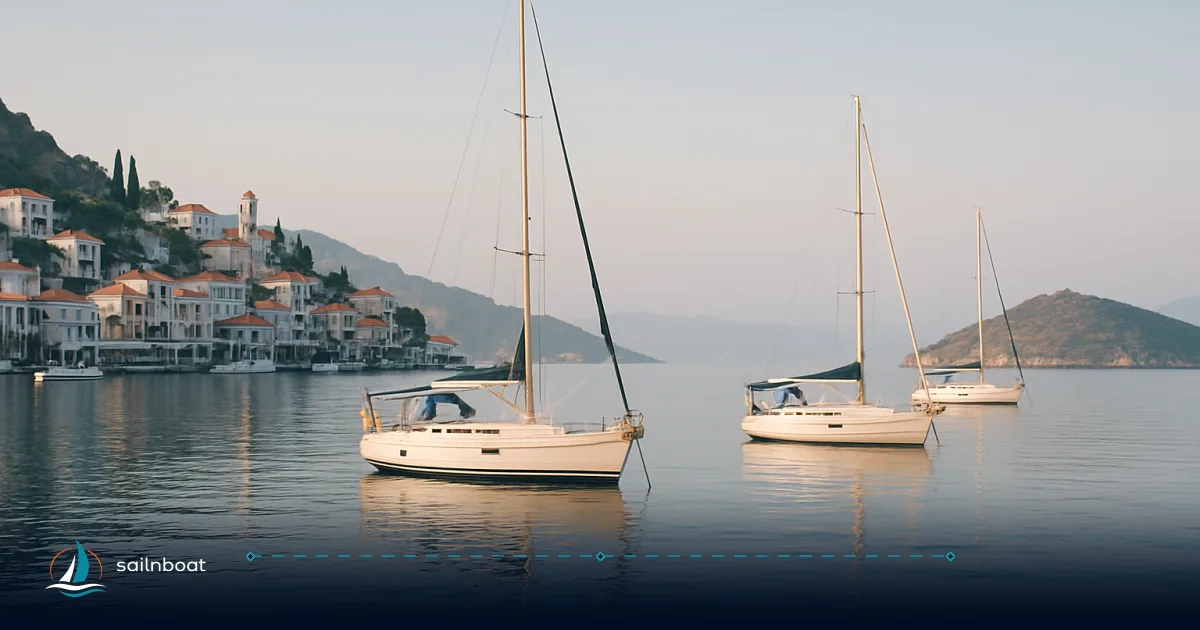
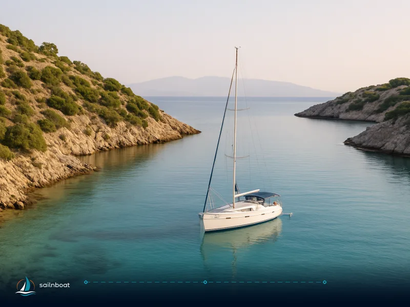
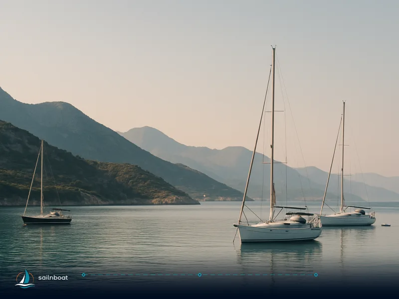
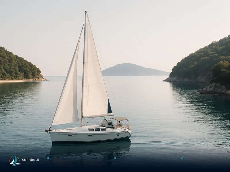
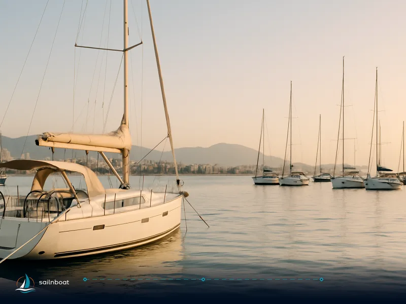
The Saronic Gulf rewards short legs, easy provisioning and reliable anchorages close to Athens; the best anchorages in the Saronic Gulf give you sheltered coves with sand or mud bottoms and depths you can work safely (typically 3–15 m), plus quick access to tavernas and town services when you want them. Below I list the practical details you need for each anchorage—shelter, holding, typical depth and bottom, facilities, navigation cautions and any likely fees—so you can choose the right stop for the wind and your schedule. Sources used for depth and local notes are cited at the end of each section.
Overview of the Saronic Gulf
Geography and Climate
- Geography: The Saronic Gulf sits immediately west and south of Athens and is a tight cluster of islands—Aegina and Agistri to the north, Poros and Hydra in the central corridor, Spetses and the Argolic coast to the south and east. Short passages (typically under 20 NM between common stops) make it ideal for a 5–7 day loop from Alimos/Piraeus.
- Climate & season: The main charter season runs May–October with peak traffic in July–August; shoulder months (May, June, September) give the best balance of milder winds, fewer crowds and full services. Typical summer winds in the Saronic are lighter than the Cyclades' meltemi but northerlies build in the afternoons—plan anchorages that give lee from N/NE and check daily forecasts.
Top Anchorages in the Saronic Gulf
Below is a quick comparison table you can scan from the cockpit. Depths and bottom types are given as typical ranges reported by cruising guides and updated pilot notes; always cross-check with your chartplotter and a hand‑lead if you’re closing shore.
| Anchorage | Typical depth (m) | Bottom | Shelter (typical winds) | Facilities ashore | Crowding (high season) |
|---|---|---|---|---|---|
| Poros — Vathi (Love Bay) | 4–9 | Sand | Good from N/NE/E; exposed to S | Seasonal taverna; seasonal buoys; 3 nm to Poros town | Busy but manageable (early arrivals recommended). |
| Poros — Russian Bay / Megalo Neorio | 3–6 | Sand | Fair; quieter than town quay | Swim beaches; tender to Poros | Moderate. |
| Hydra — Mandraki (east) | 4–9 | Sand | Excellent lee for Hydra town; good for SW/SE winds? check daily | Beach bar, long lines ashore often used; tender to town | Busy (overflow from town). |
| Hydra — Town Harbour | Deep (variable) | Patchy rock/weed | Exposed to N/NW; busy entrance | Town quay mooring (med‑mooring), water on quay | Very busy; rafting common. |
| Spetses — Zogeria / Agia Paraskevi | 3–8 | Sand / weed | Good lee from NE/N; exposed W/SW sectors | Seasonal beach facilities; tender to Dapia | Busy in August; earlier arrival advised. |
| Dokos — Skintos & south bays | 4–10+ | Sand | Very good (sheltered) for NW/N/NE winds; remote | No services ashore; secluded beaches | Quiet (popular for overnights). |
| Aegina — Perdika / Agia Marina | 3–8 | Sand / mud | Good lee from N; some bays shallow and rocky close in | Tavernes, small marina facilities, water/fuel at main ports | Moderate to busy (Aegina town busiest). |
| Ermioni | 10–20 (bay) | Mud / sand | Good in settled weather; exposed sectors — pick south side for depth | Fuel, provisioning, water delivery and town quay | Moderate (busy on market days). |
| Kilada | 5–12 | Mud | Deep fjord-like bay; very sheltered from most directions | Small marina, secure anchorage; tavern | Quiet (sheltered alternative). |
Note on numbers: the depths shown are typical reported ranges from current cruising guides and pilot notes; local shoals and seasonal seabed changes occur so use your instruments and official charts on approach.
Poros Island
- Shelter & holding: Love Bay (Vathi) and Russian Bay are the two anchor options sailors prefer when they want quiet water near Poros town. Vathi offers excellent sand holding and consistent lee from prevailing northerlies; Russian Bay is shallower and more sheltered from ferry-swell than the town quay. Expect solid sand or sand/mud bottoms.
- Depth & bottom: Typical 4–9 m in Vathi; shallower in the nearshore fringing areas. The Poros channel itself is deeper (town waters to ~10–12 m) but suffers ferry wash. Always avoid the fairway and follow local traffic patterns.
- Facilities: Poros town has fuel, good provisioning, chandlery options and many tavernas; seasonal mooring buoys are sometimes available in Vathi. A short tender or taxi across to Galatas (mainland) also gives a cheap alternative for provisions.
- Navigation: The Poros–Galatas channel is narrow and busy—slow down, keep watch for car ferries and fast hydrofoils, and avoid anchoring in the fairway. Approach Vathi from seaward, keeping adequate swing room.
Hydra Island (Town, Mandraki, Molos)
- Shelter & holding: Hydra Town quay is photogenic but operationally difficult—med‑mooring and rafting are standard and holding offshore in the harbour is patchy due to weed and rock. Mandraki Bay (east of town) is the practical alternative for overnight anchorage—sand bottoms, free-swinging room and seasonal long lines ashore in parts.
- Depth & bottom: Harbour depths vary and can be deep close to quay; Mandraki typically reports 4–9 m over sand. Expect wash from ferries in the harbour mouth—anchor in the bay rather than the inner harbour if ferries are operating.
- Facilities: Hydra town offers water on the quay and basic provisioning; no fuel in town (nearest fuel often at Ermioni or Porto Heli). Mandraki has beach facilities and a taverna during the season.
- Navigation: Give the harbour entrance a wide berth when large ferries or cruise tenders are active; in northerlies the harbour can become uncomfortable—plan to move to Mandraki/Molos if the forecast goes N/NW.
Spetses
- Shelter & holding: Zogeria (on the island’s sheltered side) and Agia Paraskevi are the favored anchorages for swim stops and overnighting; holding is generally good on sand and weed but crowded in August. Baltiza (Dapia/Old Harbour) is a med‑mooring port where space fills early.
- Depth & bottom: Expect 3–8 m in the bays; approach charts carefully as nearshore rocks exist in some coves.
- Facilities: Spetses town (Dapia) has water, limited fuel and good provisioning; beach bars and seasonal services are common at the anchored bays.
- Navigation: Use Dapia primarily for in‑town mooring; pick Zogeria for quieter nights. Watch for local fishing gear and dayboat traffic in summer.
Dokos
- Shelter & holding: Dokos is the classic Saronic “quiet night” island—wide, pine-fringed bays with clean sand and excellent holding. The southern anchorages (Skintos and similar bays) give good shelter from N/NE and are favorite overnight stops for skippers who want total quiet.
- Depth & bottom: Typical depths 4–10+ m; sand/mud bottom. Allow extra scope near deeper central parts.
- Facilities: None—no formal services, tavernas are seasonal and sparse; bring what you need.
- Navigation: Secluded bays mean limited swing room if you arrive late; enter in daylight when possible and set an anchor alarm. Give solitary boats generous room.
Aegina (Perdika, Agia Marina)
- Shelter & holding: Perdika and beaches like Agia offer sand bottoms and reliable shelter from northerlies behind islets or headlands; the town quay at Aegina can be exposed to N winds and ferry wash. Perdika is a favoured tavern stop with good holding on sand/mud.
- Depth & bottom: Perdika and nearby beaches: ~3–8 m typical; watch for shallower platforms close inshore and local submerged rocks in places.
- Facilities: Aegina has full provisioning, marinas and fuel; Perdika offers tavernas and a small quay.
- Navigation: Mind fast ferry corridors to/from Piraeus and the approach reefs near the town entrance—keep to official channels and respect local marks.
Ermioni and Kilada (Argolic coast options)
- Ermioni: A useful mainland stop with fuel, provisioning and protected water on the south side of the bay; depths on the south side can be 10–20 m—allow long scope and more chain.
- Kilada: A deep, fjord-like bay on the Argolid coast with near-complete shelter and good mud bottoms—one of the most sheltered anchorages in the area, well suited to calmer overnighting away from island crowds.
Unique Attractions and Activities
Cultural and Historical Sites
- Poros: short walk to the town, lemon-forest walks on the Galatas shore and easy access to archaeological sites.
- Hydra: art galleries, historic mansions and a museum of Bouboulina—shore nights give a car-free evening atmosphere.
- Spetses: museums and heritage houses, coastal trails and the Dapia waterfront.
- Aegina: Temple of Aphaia and pistachio orchards—short taxi or bus rides take you inland.
Outdoor Activities
- Snorkelling & swimming: Love Bay (Vathi), Russian Bay, Dokos bays and Zogeria (Spetses) are excellent for clear-water swims off the anchor.
- Hiking and coastal walks: Spetses and Poros have short coastal trails; the Peloponnese headlands near Galatas and Ermioni offer longer hikes.
- Day trips: Use Kilada or Ermioni as launch points for Porto Heli and Nafplio excursions or to reach mainland archaeological sites.
Navigational Tips and Considerations
Approaching Each Anchorage
- Always approach bays from seaward into the clearest water and with daylight wherever possible; several Saronic coves have nearshore rocks and reefs. Use up-to-date charts and sonar while closing shore.
- Watch ferry lanes: Piraeus–Aegina–Agistri and high‑speed services to Hydra and Spetses are busy; give them a wide berth and post a lookout when crossing lanes.
- Hydra town: if you want the quay experience arrive early; otherwise plan Mandraki or Molos as your fallback—the town quay fills quickly.
Anchoring Techniques
- Scope: use 3:1 minimum in calm sheltered bays; increase to 5:1 or more in deeper water or if swell is present. In deeper Saronic bays (10–20 m) you will need more chain—plan accordingly.
- Bottom composition: sand and mud are common and give good holding; rocky or weed patches (noted in parts of Hydra harbour and some nearshore headlands) reduce holding—set an alarm and check the anchor by backing down.
- Med‑mooring: many town quays in the Saronic prefer med‑mooring (stern-to). If you intend to stern-to a public quay, carry fenders and a stern line long enough to reach the quay and be prepared to pay a small mooring fee.
Regulatory Information and Fees
Local Regulations
- TEPAI cruising tax: Greece operates a cruising tax (TEPAI) payable for pleasure craft over 7 m while in Greek waters—the operator or owner normally handles registration and payment through the Greek tax portal; receipts should be carried aboard. This is an established, nationwide requirement.
- Prohibited anchor zones: parts of the Saronic include harbour fairways, marine/archaeological protected zones and local prohibition orders—anchoring in those areas is forbidden. Check the local Port Authority or Hellenic Coast Guard notices and the latest charts for restricted zones.
Fees and Permits
- Mooring fees: marinas and town quays charge seasonal berthing fees and extras (water, power) that vary by operator and season—expect higher rates in July–August. Free anchoring is the norm in most natural bays, but buoys (where provided) often have a small fee.
- Fuel & services: fuel is not available at every island (Hydra has no fuel in the main harbour); plan fuel legs to Ermioni, Porto Heli, Poros or Aegina where fuel and full services are more likely.
Final operational checklist before you drop the hook:
- Run a chart check of the bay, set a conservative anchor alarm, and carry at least 3:1–5:1 scope depending on depth and forecast wind.
- For town quay stays, have fenders, a stern line and small change for local berthing fees; for remote bays bring sufficient water and a fuel reserve.
- Pay the TEPAI cruising tax if required for your vessel and keep the receipt aboard; consult your operator or the AADE portal for current bands and payment methods.
Plan your days around the prevailing wind forecast: choose Poros or Dokos for quiet nights, Mandraki if Hydra’s quay is full, and Kilada or Ermioni if you want secure shelter with nearby services.
Frequently Asked Questions
Poros (Vathi/Love Bay and Russian Bay), Hydra (Mandraki, Molos), Spetses (Zogeria), Dokos (Skintos/Deep bay), Aegina (Perdika/Agia Marina), Kilada and Ermioni are the top choices—pick the bay that gives lee from the prevailing northerlies for your dates.
Depths typically range 3–15 m: Vathi (Poros) ~4–9 m sand; Mandraki (Hydra) ~4–9 m sand; Zogeria (Spetses) ~3–8 m sand; Dokos bays 4–10+ m sand/mud; Perdika (Aegina) ~4–8 m sand—expect local variations and shoals close inshore.
Facilities vary: Poros, Hydra, Spetses and Aegina have tavernas, water, limited provisioning and fuel nearby; Dokos and many small coves are shoreless and offer only seasonal tavernas or none at all.
Poros: town and lemon-forest walks; Hydra: galleries and car-free waterfront; Spetses: museums and coastal walks; Dokos: secluded swims and snorkelling; Aegina: Temple of Aphaia and pistachio orchards.
Anchoring itself is generally free but marina berthing is charged; Greece levies the TEPAI cruising tax for pleasure craft over 7 m and some zones prohibit anchoring (archaeological/marine-protected areas or harbour fairways).
Written by
Sailnboat Editorial
The Sailnboat editorial desk covers yacht and boat chartering worldwide — routes, bases, seasons, boat types, paperwork and the practical costs that decide a trip. We are a charter marketplace, not a boat owner or a local agency: what we sell is judgement and support, so our guides are written to help you make a decision, not to sell you a specific boat. Every guide is checked against live operator and marina data before it goes out.
Fact-checked against live operator and marina data, and published under our editorial standards. Last reviewed: .