Top 10 Safe Anchorages for Overnight Stays in the Aeolian Islands
Ten dependable anchorages around the Aeolian Islands with practical notes on shelter, seabed type, ferry traffic and volcanic exclusion zones so you and your crew can plan a safe night at anchor.

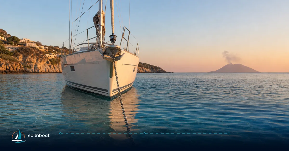
The clearest rule for safe overnighting in the Aeolians: anchor on the lee side in a bay with sand or mud, clear of ferry lanes and volcanic exclusion zones—those are the practical criteria used to select the ten anchorages below. This piece lists the top 10 aeolian anchorages, with shelter sectors, seabed and depth guidance, ferry-wash exposure, volcanic risk and exact operational tips so you and your crew can decide where to spend a calm night.
Introduction to Aeolian Anchorages
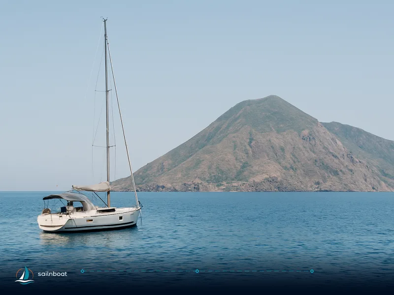
The Aeolian Islands are volcanic peaks rising steeply from deep water; good anchorages exist but are concentrated in lee bays and sheltered harbours. The dominant summer wind is the Maestrale (north‑west), with Scirocco/Levante (SE–E) arriving less often but energetically — pick an anchorage that is lee for the forecast quadrant. The islands contain protected seabeds (notably Posidonia meadows) and, around active volcanoes, the authorities publish exclusion zones that you must obey; for example, ordinances around Stromboli’s Sciara del Fuoco have at times extended restrictions to 1–2 nautical miles.
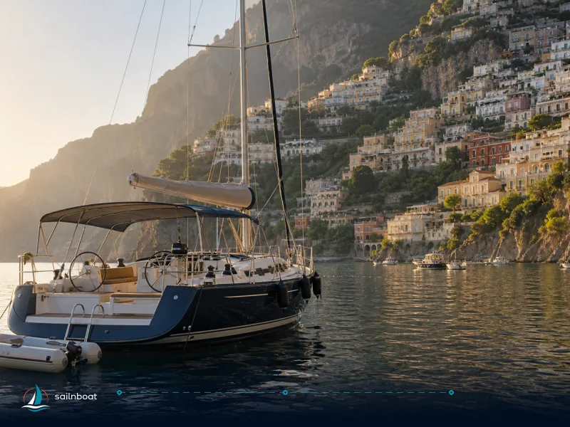
Why cruise the Aeolians by boat? You get direct access to sheltered coves that lack roads, quick inter‑island hops (most legs are 10–20 nm), and specific anchorages that combine proximity to services with reliable holding. But the archipelago is also a working ferry network and an active volcanic environment — the skippered or bareboat skipper must balance convenience, shelter and risk.
Top 10 Safe Anchorages
Below are the ten anchorages we recommend for overnighting, arranged for practical use on a typical circuit clockwise from Vulcano. Each entry gives the island, what it shelters from, seabed and depth ranges (where reliably reported), ferry‑wash risk and a short operational tip. Where conditions vary, the note explains the dependency.
| Anchorage | Island | Typical depth (m) | Seabed / holding | Sheltered from | Ferry‑wash/traffic | Volcanic / regulatory notes |
|---|---|---|---|---|---|---|
| Porto di Levante | Vulcano | ~2–15 m (varies inside harbour) | Sand / mud patches — generally good holding | NW / W (lee in Maestrale) | Moderate (local ferries) | Regular harbour; check local pier rules and seasonal buoy fields. |
| Cala Junco | Panarea | 5–12 m (typical) | Mixed sand/rock — sand patches give good holding | N / NW / W (well protected in NW) | Low in the bay; crowded in high season | Strict environmental rules in places; avoid Posidonia and follow local buoy fields. |
| Cala Zimmari | Panarea | 4–10 m | Sandy — reliable holding | NW / N (lee in Maestrale) | Low–moderate (busy in summer) | Popular mooring field; buoy hire often available. |
| Ficogrande (Scari) | Stromboli | 10–30 m | Black sand / volcanic sand and rock — holding varies with depth | NE side lee in NW winds; exposed to southerlies | Moderate (seasonal buoys, local traffic) | Sciara del Fuoco exclusion zones apply; do not transit or anchor inside cordoned areas. |
| Santa Marina (Lingua) | Salina | 4–10 m | Sand and mud — reliable holding close in | Sheltered from many quadrants when lee | Moderate (marina traffic nearshore) | Practical base with pontoons and services; anchoring allowed outside marina. |
| Porto di Filicudi (Filicudi Porto) | Filicudi | 6–15 m | Mixed sand and rock — pick sand patches | Sheltered from SE–S swell; exposed to NW in a blow | Low–moderate (small ferry service) | Moorings and small marina quay; beware submerged structures and shoals near Capo Graziano. |
| Porto di Alicudi | Alicudi | 15–25 m (drops quickly) | Rocky with patches of sand — poor holding in places | Reasonable lee to NE/ENEs in calm weather only | Very low (few visitors) | Remote and exposed; arrive by day, consider stern‑to or local buoy if available; not a first choice in fresh wind. |
| Pollara | Salina (NW) | 5–10 m | Rocky with sandy runs/Posidonia patches; variable holding | Good shelter from westerlies and moderate NE lee | Very low | Narrow amphitheatre bay; rockfall hazard above — keep clear of cliffs and watch for new buoy restrictions. |
| Baia del Gelso | Vulcano (southern tip) | 4–12 m | Sand and mud in places — good holding where sand is present | Sheltered from NW and W if lee | Low | Small quay and restaurants ashore; sheltered alternative to busy Porto di Levante. |
| Marina Lunga / Porto Pignataro | Lipari | 4–12 m (nearshore) | Sandy bottom nearshore — good holding | Lee from NW/W; shift to Ponente if Levante blows | High (ferry/hydrofoil lanes) | Best services (fuel, berths) but anchor off the harbour mouth to avoid wash and traffic. |
Notes on the table: depth ranges are reported by pilot guides and verified anchorage databases and represent commonly observed anchoring depths — they vary within each bay and with tide/season. Where seabed is mixed, favour clearly visible sand patches and use the sounder and a bow inspection to confirm before committing.
1. Porto di Levante (Vulcano)
Operational note: Porto di Levante is the main harbour on Vulcano’s north‑east; the bay gives excellent lee from NW and W and is a practical overnight if you need water or a quay. Depths inside the harbour vary — local edicts and upgraded pontoons mean you’ll often find some organised berthing and seasonal buoy fields. Watch ferry activity between Vulcano and Lipari; anchor slightly clear of the main approach and expect to pay for buoy hire if you use a summer mooring.
2. Cala Junco (Panarea)
Operational note: Cala Junco is a compact, amphitheatre bay with mixed sand/rock bottom; it is one of the archipelago’s most atmospheric anchorages but fills quickly in summer. The bay shelters well from NW winds but becomes uncomfortable if winds back into the E–SE. Local rules protecting seagrass and archaeological sites mean authorised moorings are often in place; anchor only on clean sand patches and follow municipal or Capitaneria guidance. Set tight scope and a drag alarm because swinging room is limited.
3. Cala Zimmari (Panarea)
Operational note: Zimmari sits close to Panarea’s east side and offers reliable sand holding in 4–10 m; it’s generally calmer than Cala Junco and easier to dinghy ashore. In high summer expect a buoy field and many neighbouring boats — pick a quieter late‑afternoon arrival if you can.
4. Ficogrande (Stromboli)
Operational note: Ficogrande (Scari) is Stromboli’s principal anchorage for viewing eruptions. The seabed drops fairly steeply and holding is variable — black sand and rock in 10–30 m — so use an appropriate anchor for rocky/volcanic bottoms and a long scope. Critically, the Sciara del Fuoco and neighbouring sea have exclusion zones published by the Capitaneria; these have been extended to 1–2 NM in recent ordinances, so check current notices before planning a night near the Sciara. If you anchor here, give yourself a clear escape plan and keep watch: eruptions, landslides and tsunami risk exist.
5. Santa Marina / Lingua (Salina)
Operational note: Santa Marina is the practical provisioning stop on Salina; anchoring outside the marina provides sand/mud holding in 4–10 m and close access to water, fuel and shops. The bay is naturally sheltered for many wind directions when chosen as the lee and is a good “work night” anchorage if you need stores or gas.
6. Porto di Filicudi
Operational note: Filicudi Porto is small but sheltering on the island’s north side; holding is mixed — look for sand patches in 6–15 m. There are a few seasonal moorings and a short quay for landing; beware submerged breakwaters and shoals close to the slipway (local pilot guides note shallow patches). If you expect Maestrale to pipe up, have an escape plan to a more exposed lee or to Lipari.
7. Porto di Alicudi
Operational note: Alicudi is the most remote and exposed inhabited island. The seabed outside the village is deep, irregular and largely rocky — anchoring is feasible only in settled weather and often best done stern‑to the pier after local agreement. Do not rely on Alicudi as a shelter if wind is forecast from the south or west. Arrive in daylight and consider a second anchor or warps.
8. Pollara (Salina)
Operational note: Pollara is a dramatic caldera bay on Salina’s west coast; depths are typically in the 5–10 m range over a mixed rocky/sandy bottom. It offers good lee for westerlies but is a day‑trip favourite — cliffs above have rockfall potential and local authorities have added buoying and restrictions in places, so keep distance from the cliff base and respect no‑anchor zones.
9. Baia del Gelso (Vulcano)
Operational note: Gelso is a quieter bay on Vulcano’s southern side with sand/mud in pockets and a small quay used by locals and restaurants. It can be a comfortable overnight in settled conditions and is a good alternative to the busier Porto di Levante when you want fewer neighbours.
10. Marina Lunga / Porto Pignataro (Lipari)
Operational note: Lipari’s Marina Lunga and nearby Pignataro anchorage are the logical hub for provisioning and repairs; sand holds well inshore (4–12 m) and pontoons are available. Expect significant ferry and hydrofoil traffic: avoid the immediate entrance and plan to anchor outside the busiest lanes — this is the most serviced but also the busiest overnight option.
Factors to Consider When Anchoring
Wind and Weather Patterns
- Dominant summer wind: Maestrale (NW). Plan lee anchorages for NW forecasts. Scirocco/Levante (SE/E) are less frequent but can appear and make exposed anchorages uncomfortable. Always check an updated 48‑hour forecast and the local Capitaneria notices before committing.
Seabed Conditions and Holding
- Best holding: sand and compact mud. Mixed sand/weed can be good if you visually confirm a clean sandy patch. Rocky bottoms, pumice slopes or pure seagrass (Posidonia) give poor or illegal holding — Posidonia is protected and anchoring on it is prohibited by national rules and enforced locally. Use your chartplotter, depth sounder and a bow inspection to select the spot.
Ferry Wash and Traffic
- Ferries and hydrofoils concentrate near Lipari, Vulcano and main harbours; these produce strong wash and frequent wakes. Avoid dropping anchor in the direct approach lanes to ports and keep clear of marked ferry routes — if you must overnight near a busy quay, pick a spot a short distance off the harbour mouth.
Volcanic Exclusion Zones
- Stromboli’s Sciara del Fuoco has been subject to restrictions ranging from 400 m to 2 NM in recent ordinances; the Capitaneria di Porto publishes current limits and the Department of Civil Protection may widen zones during unrest. Do not anchor or transit within those limits: they are safety measures for falling volcanic material, steam/gas hazards and tsunami risk. Always check current ordinances before approaching Stromboli or volatile vents near Vulcano.
Practical Tips for Skippered and Bareboat Charterers
Planning Your Route
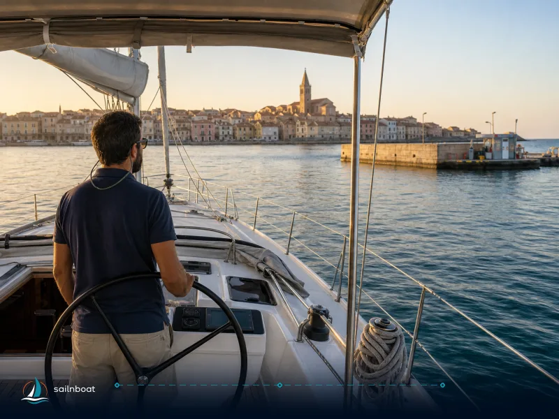
- Build your day legs so you finish at a lee anchorage for the expected evening wind quadrant; most inter‑island hops are short (10–20 nm), which gives flexibility to change plan on the day. Have a back‑up anchorage or a marina berth pre‑identified in case conditions deteriorate.
Anchoring technique and equipment
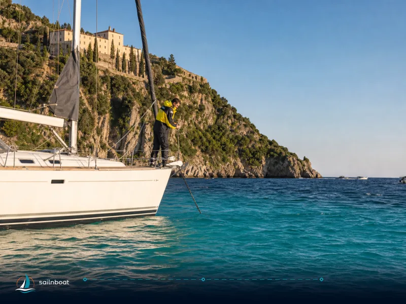
- Scope: commonly 4–6:1 (scope depends on depth, wind and sea state); for deep anchorages (e.g., Stromboli) expect to pay out more chain. Use a modern anchor suited to rocky/volcanic bottoms (e.g., plough or claw style) and set a second anchor or a stern line for exposed spots like Alicudi. Always set an anchor drag alarm and verify visually from the bow if you can.
Local fees, buoys and marina options
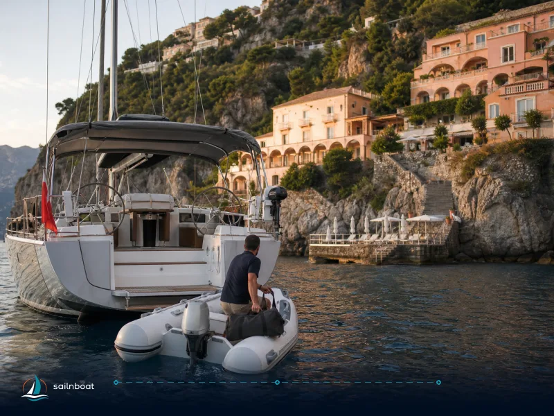
- Many popular bays operate seasonal buoy fields and private moorings that reduce seabed damage and simplify check‑in; buoys are commonly charged by local operators in high season. Also, Lipari and Santa Marina Salina offer pontoons and full services (fuel, water, power) for a fee. Expect variable seasonal priced services — check with your base or the local marina on arrival.
Safety and communications
- Keep VHF Channel 16 and the local Capitaneria channel (commonly VHF 11 in the Lipari/Vulcano area) monitored. The maritime emergency number in Italy is 1530. For Stromboli and Vulcano check civil protection notices during any volcanic unrest; maintain a clear muster and anchor watch whenever you overnight under an active volcano.
Conclusion
Choose a lee bay with visible sand or mud, watch for ferry lanes and local buoy fields, and respect volcanic exclusion zones — that checklist will get you the safest, most comfortable overnights in the Aeolian Islands. The ten anchorages above cover a practical range of options: well‑serviced ports (Marina Lunga, Porto di Levante), scenic sheltered coves for quiet nights (Cala Zimmari, Cala Junco, Pollara) and careful, daylight‑only options for the exposed islands (Alicudi, Filicudi, Ficogrande). Plan each night around the wind, confirm seabed visually, and carry a clear backup plan.
Frequently Asked Questions
Porto di Levante (Vulcano), Cala Junco (Panarea), Cala Zimmari (Panarea), Ficogrande (Stromboli), Santa Marina (Salina), Porto di Filicudi, Porto di Alicudi, Pollara (Salina), Baia del Gelso (Vulcano), Marina Lunga (Lipari) — each offers a different balance of shelter, seabed and services; see the article for details.
Lee-side anchorages such as Porto di Levante (Vulcano) and Marina Lunga (Lipari) shelter from the dominant NW Maestrale; Cala Junco and Cala Zimmari (Panarea) are well protected in calm or NW conditions; ferry wash is most significant around Lipari and major harbours, so anchor off the immediate harbour entrance.
Most reliable holding is on sand or mixed sand/weed: Cala Zimmari and Cala Junco typically 4–12m on sand; Santa Marina (Salina) has sand and mud 4–10m; Ficogrande (Stromboli) is deeper (10–30m) with black sand/rock; Filicudi and Alicudi have patchy sand and steep rocky bottom—choose sand patches where possible.
Active volcanoes (Stromboli, Vulcano) are subject to coast-guard ordinances that set exclusion zones and safety perimeters; off Stromboli the Sciara del Fuoco area has been subject to 1–2 NM bans at times, so you must check current Capitaneria di Porto notices before planning to anchor near volcanic flanks.
Plan daily legs to reach a lee anchorage for the forecasted wind; verify seabed visually before dropping; use adequate scope (commonly 4–6:1 depending on depth), set a drag alarm, respect buoy fields and Posidonia protections, and carry a plan B for sudden wind shifts or ferry cancellations.
Written by
Sailnboat Editorial
The Sailnboat editorial desk covers yacht and boat chartering worldwide — routes, bases, seasons, boat types, paperwork and the practical costs that decide a trip. We are a charter marketplace, not a boat owner or a local agency: what we sell is judgement and support, so our guides are written to help you make a decision, not to sell you a specific boat. Every guide is checked against live operator and marina data before it goes out.
Fact-checked against live operator and marina data, and published under our editorial standards. Last reviewed: .