Evia Sailing: Bases, Routes, and Avoiding the Meltemi
A decision-ready guide to evia sailing: which bases to use (Alimos, Skiathos, Volos), which gulfs give reliable shelter, realistic day hops and how to plan around the Meltemi.

Evia sailing puts you into two very different waters: the exposed Aegean on the island’s east face and the relatively calm, protected gulfs on the west. For an Evia-focused cruise that minimises Meltemi exposure, pick Volos or Chalkida (North Evian/Pagasetic access) or stage from Alimos in Athens; if your goal is the Northern Sporades start at Skiathos. Read on for the bases, sheltered route choices, realistic day hops and concrete steps to keep your week safe and comfortable.
Key Charter Bases in Evia
What base you pick is the single biggest operational decision: it determines your first sea-mile and what weather you can outrun.
Alimos Marina (Athens)
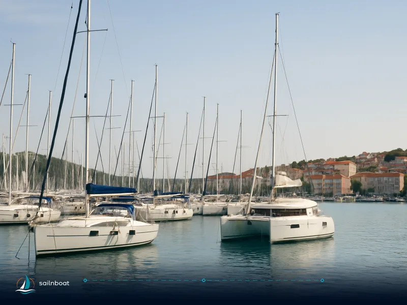
- Why use it: Alimos is Greece’s largest marina by berths and a common Athens charter base — ideal if you need international flight connections, large marinas services and easy logistics for provisioning before heading north. The new Alimos redevelopment confirms it as the largest marina in Greece and the eastern Mediterranean with around 1,100 permanent berths and extensive shore-side facilities.
- Practical notes: Alimos is a working marina with shore power, water, travel-lift capacity and urban services; it places you 30–40 km by road from Athens airport depending on traffic and which terminal you use (allow planning time). Many charter companies stage check-in/out from Alimos; standard embarkation windows are commonly late afternoon on the first day (operators vary).
- Trade-off: excellent facilities and airport access, but you add the extra miles to reach the Pagasetic or north Evian basins.
Skiathos
- Why use it: Skiathos gives the quickest water access to the Northern Sporades and the Pagasetic/Trikeri gateway if you want islands first. The island has an airport with seasonal international connections and regular ferry links with the mainland and neighbouring islands, and several charter operators base boats there.
- Practical notes: Skiathos town harbours a number of charter companies, basic provisioning and fuel options; it’s smaller than Alimos for marina infrastructure so expect charters rather than full-service superyacht facilities. Check-in times and fleet size depend on provider, and embarks are often scheduled mid‑ to late‑afternoon.
- Trade-off: faster island access, but fewer heavy‑logistics resources than Athens/Alimos.
Volos (recommended for Evia cruising)
- Why use it: Volos sits at the head of the Pagasetic Gulf and is the practical logistics hub for the whole area — full supermarkets, fuel, chandlery and multiple charter offices operate from the marina area. If you plan sheltered cruising on Evia’s west side, Volos is the most convenient base.
- Practical notes: Volos Marina provides fuel, water and shore services; several large supermarkets and provisioners are within short transfer distance from the marina. Local operators will also organise provisions to be loaded on board before your arrival. Expect standard charter embarkation procedures (many bases use afternoon embarkation times).
- Trade-off: best for shelter and provisioning; not as fast for reaching the southern Evia passages or the Cyclades without a longer transit.
Table — quick comparison of the practical bases
| Base | Best for | Key facilities (typical) | Notes |
|---|---|---|---|
| Alimos (Athens) | Logistics, large marinas, pre-charter provisioning | ~1,100 berths, travel-lift, shore services, restaurants | Largest marina, easy airport access; adds sea miles to Evia. |
| Volos | Evia / Pagasetic cruising, provisioning | Marina, fuel, electricity, supermarkets nearby | Full provisioning and practical hub for the Pagasetic Gulf. |
| Skiathos | Fast access to the Northern Sporades | Airport, charter operators, basic harbour services | Use if islands-first is the objective; fewer heavy marina services. |
Sheltered Sailing Routes in Evia
Shelter is the tactical advantage Evia offers over the open Cyclades: the west-facing coastline and two major gulfs give realistic escape routes from the Meltemi.
North Evian (Euboean) Gulf
- What it is: the long, semi‑enclosed water between mainland Greece and Evia’s western shore. The gulf provides a network of bays, coves and small harbours that cut exposure to the open Aegean swell and northerly winds.
- Why it shelters: the mainland‑Evia geometry blocks the fetch from the north; the wind is generally moderated compared with the open east side, though local katabatic gusts from the hills can appear in the late afternoon. Anchorages here are usually sand or mixed bottoms with good holding — use increased scope and arrive before the afternoon wind builds.
- Anchor and berthing options: expect natural anchorages (stern-to or conventional anchoring) rather than full marinas except at larger towns; Chalkida provides urban services further north. Small bays such as Limnionas and Skorponeria are practical overnight stops.
Pagasetic Gulf (Volos and Paleo Trikeri area)
- What it is: the sheltered inlet around Volos; shallow, enclosed water with many short hops — an easy, calm cruising ground for crews who want short passages and quick provisioning.
- Why it shelters: the gulf’s enclosure gives short fetch and reduced swell; winds that blow down the Aegean are largely dissipated inside the gulf although channeling around promontories can still produce gusty patches — plan to tuck into smaller bays if a north wind builds.
- Anchor and berthing options: Paleo Trikeri (car‑free island), small fishing ports (Agia Kyriaki, Amaliapoli) and Volos itself for fuel and a big provisioning run. Volos also gives easy access to mainland services and customs where needed.
Practical trade-off: the gulfs are reliably calmer than the Aegean but they are not windproof; a strong Meltemi still funnels into gaps and can produce uncomfortable gusts in the afternoon. Arrive early and allow extra swinging room when anchoring.
Typical Daily Sailing Distances in Evia
Sail planning in this part of Greece is largely about short to medium legs — most crews prefer 10–40 nm days to leave margin for weather, provisioning and local exploration.
Example legs (what operators commonly publish vs chart-measured distances)
- Skiathos → Trikeri: operator itineraries often quote this leg at around 22 nautical miles; direct great‑circle measurement between central Skiathos and Paleo Trikeri is about 19 nm, but confirm with your chart or provider for precise distances — the difference depends on your exact berths (Skiathos town vs Koukounaries) and which Trikeri anchorage you use. Use the operator’s itinerary as a guide, then measure on your chartplotter for precise planning.
- Trikeri → Skorponeria: some operator materials and route maps show a short hop here, but measured direct distances between the commonly cited locations are substantially longer (roughly 40 nm by great‑circle) — depending heavily on the exact start and end points. For passage planning, treat this as a medium‑length sea day unless you plan to break it into two shorter legs.
- Skorponeria → Chalkida: direct chart measurement between Skorponeria and Chalkida is estimated at about 11 nm, but verify this distance by plotting your route on a chart; some itineraries may show different figures depending on routing.
Estimated planning table (direct great‑circle distances; measure on your chartplotter for your exact berth)
| Leg | Typical quoted (charter docs) | Direct (chart) estimate | Estimated transit at 6–7 kn |
|---|---|---|---|
| Skiathos → Paleo Trikeri (Trikeri) | ~22 nm (common) | ~19 nm (direct) | 3–3.5 hours |
| Trikeri → Skorponeria | (varied) | ~40 nm (direct) | 6–7 hours |
| Skorponeria → Chalkida | (varied) | ~11 nm (direct) | 1.5–2 hours |
Notes:
- Cruising speed assumption: a conservative 6–7 knots for chartered monohulls — cats will close these times by ~25–40% depending on model. Use engine hours, forecast and sea state to plan. (Typical charter cruise speeds are commonly used ranges, not guarantees.)
- Why distances differ: operator itineraries use start/end harbour points (which can be a bay, beach or official port) — that makes a big difference to a “nm” figure. Always check and plot the route before leaving.
Provisioning Options in Evia
You will not be living off village taverna runs alone — plan provisioning around a main supermarket run plus top-ups.
- Best single provisioning hub: Volos — the city supports large supermarkets, bakers, fresh fish markets, a chandlery network and fuel by mini‑tanker at the marina; many charter operators either base boats here or will accept provisioning lists to be delivered to the boat. If you need a single shopping day for the whole charter, make it in Volos.
- Smaller ports and villages: places like Paleo Trikeri, Agia Kyriaki, Amaliapoli and the smaller Evia harbours carry basics (bread, milk, some produce) and have tavernas; do not expect full chandlery stocks or extensive chilled/frozen choices in every village. Plan for at least one major shop in Volos or Athens before you head into smaller anchorages.
- Fuel & technical services: Volos marina offers fuel bunkering and technical services; major repair facilities are available in larger towns (Volos, Chalkida) while small harbours generally have no or minimal fuel supply — check with your charter company for fuel plan and nearest bunkering.
- Practical tip: prepare a standard provisioning list (staples, water, wine/spirits, gas bottles if not supplied) and ask your charter agent to price/arrange a delivery — it saves time on embarkation day.
Navigating the Meltemi Wind in Evia
This is decision‑grade, safety‑critical material: understand when and where the Meltemi is strongest, and plan routing to reduce risk.
Understanding the wind
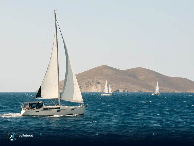
- Seasonality and strength: the Meltemi (Etesian) is the dry northerly that dominates Aegean summers — it typically blows from about mid‑June through mid‑September, with the strongest, most consistent conditions in July and August. Charter guidance and meteorological summaries put typical strengths in the busy season around Force 4–7 Beaufort, with stronger gusts sometimes possible in channels and funnels. It tends to build during the day (often peaking in the early/mid afternoon) and relaxes in the evening.
- Geography matters: the Meltemi accelerates through island channels and straits (notably the Kafireas/Kephala gap south of Evia and other tight passages), while the North Evian and Pagasetic Gulfs significantly reduce fetch and swell, making them the go‑to sheltering areas. The east (open Aegean) coast of Evia is the side most exposed to Meltemi winds and sea.
Sailing strategies to avoid or mitigate it
- Pick your base to match your tolerance: if avoiding strong Meltemi is a priority, base in Volos or Chalkida and plan to keep afternoons in the gulfs; if you must cross open water, schedule that passage for an early‑morning start before the daytime build.
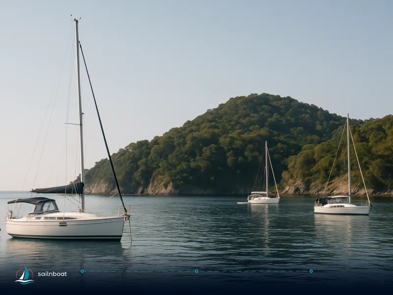
- Use the gulfs and lee shores: the Pagasetic and North Evian Gulfs provide dependable shelter; plan the afternoon to be already berthed or anchored inside these bodies rather than beating into the wind in open water.
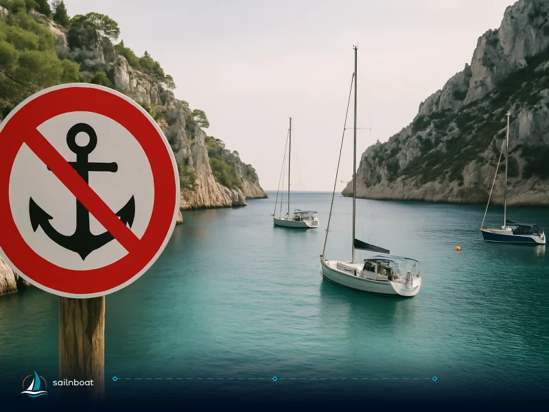
- Avoid known funnels during peak season: don't attempt exposed channel transits at the peak of a July/August Meltemi if you lack crew or confidence; the Doro Strait and Kafireas can produce gusty, choppy conditions and local accelerations. If you must pass, plan to do so on a day of lighter forecast or wait for the wind to ease overnight.
- Arrival times and anchoring discipline: aim to arrive at your planned anchorage before 16:00. In bays with variable gusts anchor with extra scope, set a stern anchor if the approach favours it, and keep a plan B harbour in mind. Local skippers commonly recommend arriving early in the day because the wind often peaks mid‑afternoon.
- Forecasts and local info: get the daily HNMS forecast and check local VHF channels (local marina and port authorities often broadcast updates); in the Pagasetic/Volos area, marina and charter bases commonly provide timely local forecasts and advice.
Practical checklist before you go
- Plot your intended route on the charter plotter and measure exact nm between your chosen berths — published itinerary mileages can differ by several nautical miles. (Chart‑plot measured distances are the one you should use for fuel/time planning.)
- Book at least one full provisioning run in Volos or Athens (Alimos) and plan top‑ups in towns on Evia.
- Plan to finish significant open‑water transits before the afternoon Meltemi build; schedule afternoon anchoring in the Pagasetic or North Evian Gulfs.
- Confirm embarkation/check‑out times with your charter company (many bases publish afternoon embarkation around 16:00–17:00 but this varies by operator).
- Keep a go‑list for security: extra anchor chain/rope, working VHF, charged handhelds, and a clearly briefed crew watch plan for gusty evenings.
Plan your Evia sailing weeks by combining a logistics‑rich base (Alimos or Volos) with a shelter‑first itinerary that uses the Pagasetic and North Evian gulfs as your daily safety net; when the Meltemi builds in July–August, that approach gives you the best margin for comfort and safety.
Frequently Asked Questions
The practical launch points are Alimos Marina (Athens) for access from Athens, Volos for local Evia/Pagasetic cruising and Skiathos for direct access to the Northern Sporades; each has different trade-offs in travel time, facilities and shelter.
The Pagasetic Gulf (around Volos and Paleo Trikeri) and the North Evian (Euboean) Gulf give the best shelter from the northerly Meltemi; the exposed east Aegean side of Evia is usually windier.
Day hops in this area are generally 10–40 nm depending on where you start; operators commonly list Skiathos→Trikeri at ~22 nm, but other legs vary and should be measured on your chartplotter.
Make your main provisioning run in Volos (full supermarkets, chandlery and fuel). Smaller ports and villages on Evia offer limited basics and tavernas.
Plan your route to spend afternoons inside the Pagasetic or North Evian Gulfs, make morning passages when possible, and avoid narrow exposed straits during the July–August peak.
Written by
Sailnboat Editorial
The Sailnboat editorial desk covers yacht and boat chartering worldwide — routes, bases, seasons, boat types, paperwork and the practical costs that decide a trip. We are a charter marketplace, not a boat owner or a local agency: what we sell is judgement and support, so our guides are written to help you make a decision, not to sell you a specific boat. Every guide is checked against live operator and marina data before it goes out.
Fact-checked against live operator and marina data, and published under our editorial standards. Last reviewed: .