When is the Meltemi? A Charterer's Guide to Timing, Routes & Safety
The Meltemi is the Aegean's seasonal northerly: typically late May to mid‑September, peaking in July–August and frequently reaching near‑gale strengths in the central Aegean. This guide gives you timing, ferry risks, sheltered routes and skipper tactics so you can plan a Cyclades charter that stays safe and on schedule.

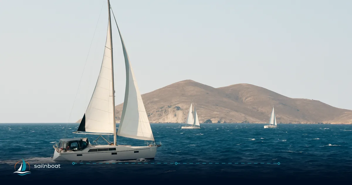
The Meltemi is the Aegean’s seasonal north wind: it most often blows from late May through mid‑September and reaches its peak frequency and strength in July–August, with the central Aegean regularly seeing near‑gale conditions (Beaufort 7–8).
Understanding the Meltemi Wind
The core facts
- Seasonality: The Meltemi (also called Etesian winds) is a recurrent summer northerly over the Aegean that typically develops from late May and dies away by mid‑September, with the highest frequency in July and August.
- Strength: In the central Aegean the Meltemi commonly reaches near‑gale to gale strengths — Beaufort Force 7–8 — (Force 7 ≈ 28–33 kt; Force 8 ≈ 34–40 kt). Expect frequent Force 5–6 days during the peak season and episodic Force 7–8 events.
- Direction & geography: The wind is broadly northerly in the central Aegean, veering slightly NE in the north and NW in the southern sectors; local island topography channels and amplifies it through straits and between high headlands.
- Daily pattern: The Meltemi typically builds through the morning and peaks in the afternoon, often easing in the evening. That diurnal tendency makes early departures and late‑afternoon arrivals a practical routine for charter days.
How to read that for a charter
- When is it “safe”? Early summer (May–June) and September usually offer milder, more tolerable conditions. July–August is peak season for strong, persistent Meltemi days and requires route choices and seamanship to match.
- What “Force 7–8” feels like: expect steep seas in fetch‑zones, sustained 3–4+ metre wave heights in exposed channels, and gusts that demand early reefing and conservative sail plans.
Impact on Ferry Operations
Ferries and the Meltemi: the practical picture
- Who cancels first: High‑speed craft (hydrofoils, fast catamarans) are most sensitive and are usually cancelled first when northerlies build to Beaufort 6–7; conventional ferries with deeper hulls may continue at captains’ discretion but can also be held if port authorities issue a general ban. Expect the operator or port authority to make the call.
- Common operational consequence: delays, reroutes to larger harbours, or outright cancellations — especially on exposed routes to Mykonos, Paros, Milos and the southern chain during strong Meltemi spells. Budget at least one buffer day for transfers to/from the islands in July–August.
- What to do as a charterer: keep operator apps and port announcements active, prefer conventional ferries when your itinerary is tight, and avoid booking onward flights the same day you plan a ferry in or out of the Cyclades during July–August. DiscoverCyclades and local ferry operators publish up‑to‑date guidance during the season.
Skipper Strategies for Navigating the Meltemi
Plan like a skipper, not a tourist
- Leave early, arrive early: start passages at first light and aim to be inside a lee anchorage by early‑to‑mid afternoon—most experienced skippers choose this rhythm because the Meltemi commonly strengthens later in the day.
- Short legs and bail‑outs: design each day around 20–40 nm legs with at least one sheltered port or bay within range; when the forecast shows a mature Meltemi, shorten legs further.
- Clockwise routing: a clockwise circuit from Athens (Lavrion or Alimos) through Kea → Kythnos → Serifos → Sifnos → Milos keeps much of the sailing with the wind on the beam or quarter and offers frequent lee options—this is why many charter operators program clockwise routes in peak season. Trade‑off: you may add a few miles compared with a straight line, but you gain shelter and predictable sailing angles.
- Sail control and conservatism: reef early, reduce sail area before entering constricted channels, use storm headsails if needed and manage crew fatigue—reefing at 20–25 kt sustained rather than waiting for gusts pays. Use engine power to maintain steerage when close‑hauled in a confused sea. (Operational advice drawn from route guides and skipper reports.)
- Electronics and weather sources: use model blends (ECMWF/ICON/GFS) plus local HNMS updates and a reputable marine routing product; when models diverge, prefer the short‑term HNMS / local observations for port‑level decisions.
Practical checklist for the skipper before cast‑off
- Check 72‑, 48‑ and 6‑hour forecasts and note probability of sustained northerlies.
- Confirm nearest sheltered anchorages and berths for each leg.
- Allocate extra fuel for motor‑assisted beats and for detouring into lee harbours.
- Communicate the plan and contingencies to your crew and the charter base.
Safe Sailing Routes During the Meltemi Season
Which routes to pick and why
- Western Cyclades loop (recommended in strong Meltemi): Lavrion/Alimos → Kea → Kythnos → Serifos → Sifnos → Milos → Folegandros. These islands form a chain with frequent lee bays and short inter‑island hops; many bases operate this loop because it keeps exposed open‑water crossings minimal.
- Sheltered passages to use: passages that run in the lee of a larger island (for example between Milos and Folegandros or Sifnos and Serifos) reduce fetch and wave height and are commonly used as shelter corridors during extended northerlies.
- Avoid these when Meltemi is forecasted strong: direct open crossings from Lavrion/Alimos to eastern Cyclades (Mykonos/Paros) and long southerly legs toward Santorini — they expose you to long fetch and the core of the Meltemi.
Route comparison table (legs, purpose, trade‑off)
| Route / Leg (typical start) | Typical distance (nm) | Why pick it during Meltemi | Trade‑off |
|---|---|---|---|
| Lavrion → Kea | 12–17 nm (Lavrion base) | Very short first hop; Kea is close and gives early lee options. | From Alimos the same leg is longer; base choice matters. |
| Kea → Kythnos / Serifos | 25–45 nm (depends on track) | Keeps you in the western chain with multiple anchorages; manageable afternoon passage. | Can be upwind if you head north; plan for motor assist. |
| Serifos ↔ Sifnos | ~10–25 nm | Short hops between lee bays; many sheltered anchorages. | Some parts exposed; choose the southern lee coves. |
| Sifnos → Milos → Folegandros | 25–50 nm per leg | Southern islands give reduced wind intensity on lee coasts; good for alternative itinerary. | Longer overall circuit; may add motoring if wind drops. |
(Notes: distances vary by exact start/finish marina; Lavrion is the shortest Athens gateway to the Cyclades while Alimos/Piraeus adds more miles to the first crossing.)
Sheltered Anchorages and Exact Examples
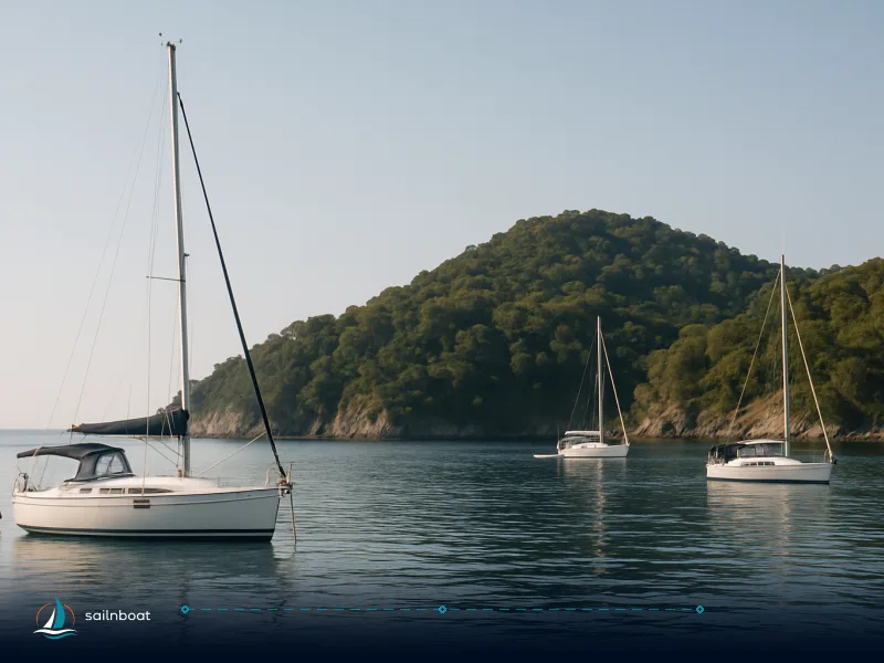
Pick anchorages by wind direction and exposure — examples you can use Below are practical anchorages often recommended in northerlies, with the holding/depth ranges as reported in anchorage databases (use those depths when planning anchor rode and scope).
- Provatas / southern bays (Milos): depth commonly 3–7 m, sand bottom; protected from northerly winds when tucked on the south coast.
- Kamares (Sifnos): main port with fair holding at 3–5 m; often used as a protected berth in northerlies.
- Vathi (Sifnos, also listed as "Livadi"): natural bay with 3–5 m and good lee from northerlies for most wind angles.
- Karavostasis (Folegandros): 3–5 m, good lee on many wind directions, popular as an overnight shelter.
How to choose on the day
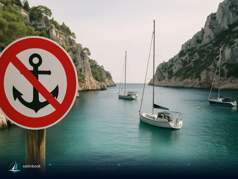
- Use the bay’s protection quadrant: prefer anchorages whose “protected” directions include N/NW; many databases list protection/exposure for each bay—consult a current pilot and the anchorage database for that specific cove.
- Holding and scope: in 3–7 m depths typical for Cyclades bays, aim for 6:1–7:1 scope, and be ready to stern‑to if the holding in the lee is marginal and mooring alongside is allowed.
- Crowd and services: popular lee anchorages fill early in high season; if you need shore services (water, fuel) choose ports like Adamas (Milos) or Kamares (Sifnos) rather than small coves.
Alternative Itineraries in the Cyclades
If you want to reduce wind exposure or avoid peak weeks
- Southern lee option: Milos → Folegandros → Santorini runs you into more sheltered southern coasts where the Meltemi’s core can be weaker on lee shores; topography here reduces wind speed locally. This is a viable alternative to the more exposed northern loop.
- Early/late season: shift your charter to late May–early June or September–early October to avoid the most persistent Meltemi days while still enjoying warm water and full island services. Many charterers prefer these shoulder windows for calmer sailing.
- Saronic + Northern approach: if you want an easier ride, base your charter in the Saronic (Aegina, Poros, Hydra) where summer northerlies are usually gentler than in the Cyclades — a practical option for less experienced crews.
How Wind Conditions Vary Across the Cyclades
Expect local differences, not a single uniform wind
- Central Aegean is strongest: the geographic funneling effect and the long fetch across the open Aegean mean the central islands typically experience the highest Meltemi speeds and most persistent conditions.
- Western vs eastern islands: western islands in the Cyclades (Serifos, Sifnos, Milos) provide more lee options and shorter hops; the northern chain (Mykonos, Tinos, Andros) can see funneled stronger flows and more exposed seas.
- Localised accelerations: narrow passes and channels create gusty, funnelled conditions — a forecast for the open sea can under‑ or over‑estimate what you’ll feel inside a strait. Always check local observations and consider reducing sail earlier than the open‑sea forecast suggests.
Practical tabular summary for wind patterns
| Area | Typical Meltemi effect | Sailing implication |
|---|---|---|
| Central Aegean (Paros, Naxos, Mykonos) | Strongest, frequent Force 6–8 | Avoid long exposed crossings; prefer conventional ferries if transferring. |
| Western Cyclades (Kea, Kythnos, Serifos, Sifnos, Milos) | More lee bays and short hops | Best compromise for charter weeks in peak season. |
| Southern chain (Folegandros → Santorini) | Topography reduces fetch on southern coves | Good alternative when you want calmer lee anchorages. |
Final practical advice and emergency planning
- Buffer time: build at least one buffer day into any itinerary that relies on a same‑day ferry connection or onward flight during July–August. Ferries can be cancelled with little notice.
- Insurance and charter docs: read the charter contract caveats about weather delays—operators commonly cover rebooking only when a port authority bans sailings; travel insurance that covers missed connections is worth the premium in peak months.
- If caught offshore in a mature Meltemi: reduce sail, reef early, steer for the nearest lee shore or island passage with known shelter; aim to avoid anchoring in shallow exposed bays that offer only partial protection from gusts. (This is seamanship guidance, not a substitute for local pilotage.)
- Communications: keep the charter base, VHF watch on local harbour channel and the crew informed of contingencies; have a shore contact who can arrange on‑island transport if you need to get ashore early.
Frequently Asked Questions
The Meltemi commonly runs from late May through mid‑September and peaks in frequency and strength during July and August; the strongest episodes occur in the central Aegean.
High‑speed ferries and hydrofoils are most vulnerable—operators often cancel those services in Beaufort 7+ conditions while conventional ferries may still run depending on the port authority and captain.
Clockwise loops from Athens (Lavrion or Alimos) through Kea, Kythnos, Serifos and Sifnos keep legs shorter and let you use island lee for shelter; staying in the western chain is a common strategy.
Voteable examples: Provatas (Milos) and parts of southern Milos, Kamares (Sifnos), Vathi (Sifnos) and Karavostasis (Folegandros) offer lee protection and good holding in northerlies.
Plan early starts, short hops (20–40 nm), reserve at least one sheltered bail‑out each day, reef before gusts reach forecasted thresholds and keep alternative transport/ferry options in reserve.
Written by
Sailnboat Editorial
The Sailnboat editorial desk covers yacht and boat chartering worldwide — routes, bases, seasons, boat types, paperwork and the practical costs that decide a trip. We are a charter marketplace, not a boat owner or a local agency: what we sell is judgement and support, so our guides are written to help you make a decision, not to sell you a specific boat. Every guide is checked against live operator and marina data before it goes out.
Fact-checked against live operator and marina data, and published under our editorial standards. Last reviewed: .