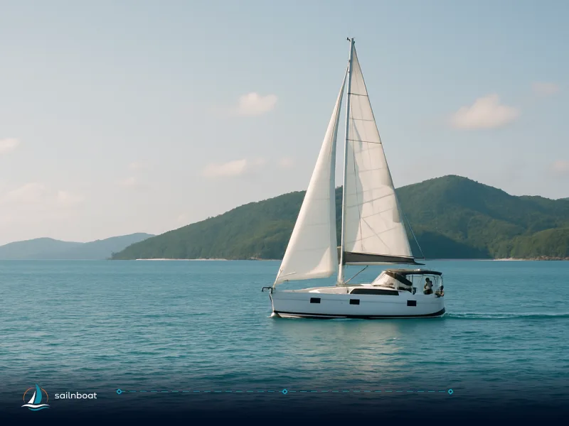
Exploring the Whitsunday Islands: A Complete Yacht Charter Guide
Plan a Whitsunday Islands yacht charter for May–October when steady southeast trades (15–25 kt) make island-hopping efficient; base at Airlie Beach (Coral Sea Marina) or Hamilton Island for full-service support.

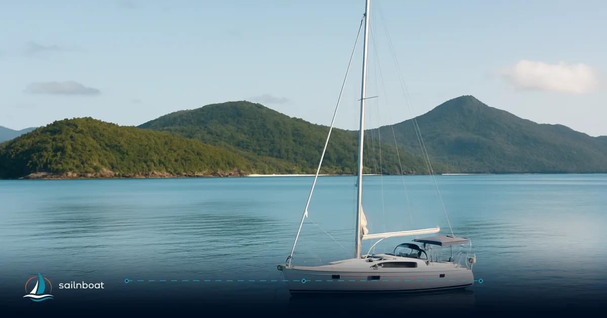
Begin with May–October for a Whitsunday Islands yacht charter: that window gives the most reliable southeast trade winds (often in the 15–25 knot range, though exact averages vary and should be confirmed with local weather data), lower humidity and much less rain than the wet season, so you can plan daily hops between bays rather than long motors. Start from either Airlie Beach (Coral Sea Marina) or Hamilton Island Marina—the two bases with full-service provisioning and straightforward access to Whitehaven, Hook and Hayman Island anchorages—then route your days around wind direction, tides and the snorkel spots you want to reach.
Optimal Sailing Seasons in the Whitsundays
Season Overview
- Primary cruising window: May–October. This is the dry/trade‑wind season; the southeast trades blow most days and deliver the easiest sailing for passage-making between islands. Sources that compile local skipper experience and weather summaries consistently list April/May through October as the best months for bareboat and cruising yachts.
- Typical wind strengths: trade‑wind averages are often described in the 15–25 knot band during the core season, though specific average wind speeds may vary; peak days can be stronger and produce gusts in exposed corners. Expect steady mornings that build into stronger sea breezes in the afternoon.
- Cyclone season: officially 1 November–30 April in Australia; this raises heat, humidity, rain and the risk of tropical systems, so most charterers avoid bareboat plans then or choose flexible crewed options with evacuation contingencies. Use the BoM for current seasonal outlooks before you travel.
Stinger Season
- Marine stinger (box jellyfish / Irukandji) risk is highest roughly November–May along tropical Queensland coasts; Parks and Queensland Health advise wearing full-body stinger suits or using protected enclosures/organised snorkel services during that period. If you plan swims or snorkel sessions in November–May, factor in suits (often supplied by tour operators) or choose operator-timed snorkeling that mitigates risk.
Ideal Bases for Yacht Charters
Airlie Beach (Coral Sea Marina)
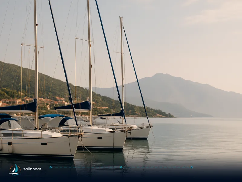
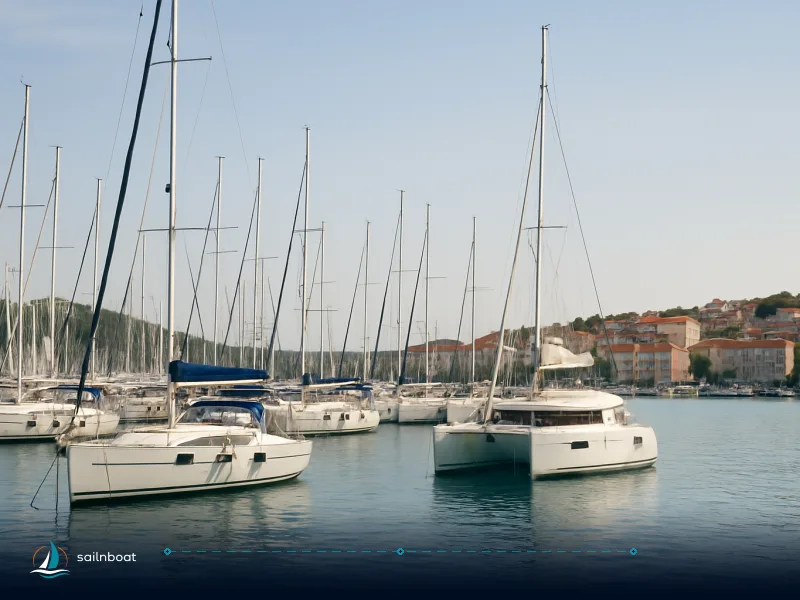
- Why pick it: Airlie Beach is the mainland gateway—Coral Sea Marina (formerly Abell Point) has ~520 wet berths, concierge services, provisioning and pump‑out, and is a short walk or shuttle to town. The marina is the practical start point for most multi‑day bareboat charters and is set up to handle everything from provisioning to tour bookings.
- Practicalities: Proserpine/Whitsunday Coast Airport (PPP) runs frequent transfers (roughly 45 minutes to Airlie/Coral Sea Marina); allow time for provisioning and an afternoon systems briefing on the day of handover.
Hamilton Island Marina
- Why pick it: Hamilton Island has its own airport and a fully equipped marina with berths, fuel, and guest services—an ideal base if most of your group fly into HIA or you want to cut mainland transfer time. Hamilton’s marina publishes transient and long‑term fee tables and practical arrival information.
- Practicalities: Hamilton is central in the island chain and shortens approaches to northern anchorages such as Langford/Blue Pearl; however, flights to HIA are typically more expensive than flying to Proserpine.
Quick comparison
| Base | Marina | Typical transfer from nearest airport | Key advantage |
|---|---|---|---|
| Airlie Beach | Coral Sea Marina (520 berths) | ~45 min from Whitsunday Coast (Proserpine/PPP) | Mainland services, large provisioning options, many charter desks. |
| Hamilton Island | Hamilton Island Marina | Direct flights to HIA; local shuttle <15 min to marina | Fast island access, central position, strong resort services. |
Sailing Conditions and Wind Patterns
Wind Patterns
- The Whitsundays are dominated by the southeast trade‑wind regime across the dry season; expect a steady SE bias (from about 120–160°T) that builds through the day. Locally, winds accelerate around headlands and through channels; sheltered western bays will feel lighter than eastern, exposed shores. Typical trade‑wind strength in the season is often described as 15–25 kt—good for reaching and broad‑reaching sails, but plan reefing for gusty afternoons. Actual wind speeds can vary; check current forecasts.
Navigational considerations
- Whitsunday Passage and other narrow channels can funnel wind and create short, steep chop in fresh conditions—expect more motion in the exposed passages than in inside anchorages. Northerly winds are less common in the dry season but when they come they expose eastern bays and can make some anchorages uncomfortable. Read local pilot notes and plan sheltered alternatives for heavy wind days.
- Tidal currents are generally moderate in the inner group but may affect tight entries and the timing for landings and Hill Inlet viewpoints—check standard tide tables when planning the Hill Inlet Tongue Point walk.
Must-Visit Spots and Anchorages
Whitehaven Beach (Whitsunday Island)
- What you get: about 7 km of nearly pure silica sand and the classic Hill Inlet viewpoint nearby. Most yachts anchor off the southern end and tender ashore. Timing the Hill Inlet lookout for an incoming or outgoing tide shows the best "swirl" of sand and sea. Whitehaven lies inside the Whitsunday Islands National Park; there are no shops or facilities ashore.
Hill Inlet (Tongue Bay)
- Access: anchor in Tongue Bay, tender in and walk the short track (the lookout walk is typically ~1.3 km return). Best photographs require timing with the tide—plan the day around that if Hill Inlet is a priority.
Nara Inlet (Hook Island)
- Why stop: a deep, fjord‑like inlet with secure overnight anchorage and Ngaro rock art sites accessible by short walks—Nara is sheltered from most winds and a common first-night choice for overnight charters.
Butterfly Bay, Langford Reef, Border Island
- Butterfly Bay (Hook Island) offers reliable morning snorkelling; Langford Island has a dramatic sand spit that appears at low tide and good snorkel fringing reef; Border Island is quieter and favoured by small groups seeking solitude. Each of these spots is a common stop on multi‑day itineraries and suits both day‑charters and overnight anchorages.
Practical anchor notes
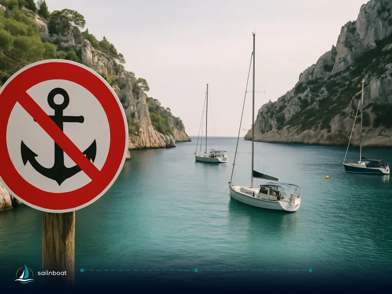
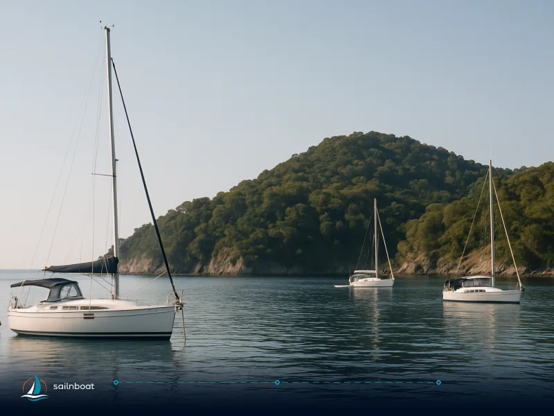
- Good holding is common in sandy bays; anchoring depths inside the inner islands typically vary by location, so consult your operator or local charts for recommended depths. In crowded peak season anchor early and use stern anchors where appropriate; avoid anchoring on reef bommies or seagrass. Follow park signage and leave no trace. Queensland Parks notes specific track closures and temporary restrictions at times—check the park alerts the morning you go.
Practical Details: Marinas, Distances, and Licensing
Marinas and services
- Coral Sea Marina (Airlie) and Hamilton Island Marina both provide fuel, pump‑out, shore power, concierge and provisioning options; Coral Sea is the larger mainland facility while Hamilton Island adds the convenience of an on‑island airport. Hamilton Island publishes detailed transient and long‑term fee tables; transient day‑visit and overnight tariffs vary by vessel length and high/low season. Use the marina welcome books for exact transient rates before you plan.
Distances and itinerary planning
-
Most popular anchorages lie within short passages—typical charter itineraries show legs from 4–15 NM, with a couple of longer hops around 20–26 NM depending on your start point and route. Sample charter legs from standardized sample itineraries: Airlie Beach → Nara Inlet, Whitehaven → Hamilton Island, and Airlie/Cid Harbour → Whitehaven are commonly listed as 13 NM, 10 NM, and 12 NM respectively in charter operator sample itineraries, but actual distances may vary depending on route and should be confirmed with your operator or navigation tools. Use these values to build a practical day‑by‑day plan and always add a 20–30% time margin for tides, winds and snorkel stops.
-
Quick reference table (typical legs, distances and passage time estimates: assume monohull cruising 6–8 kn, catamaran 8–10 kn; times vary with wind and current):
| Leg | Distance (NM) | Time @ 7 kt (mono) | Time @ 9 kt (cat) |
|---|---|---|---|
| Airlie Beach → Nara Inlet | 13 NM | ~1h50m | ~1h25m |
| Whitehaven → Hamilton Island | 10 NM | ~1h25m | ~1h05m |
| Cid Harbour → Whitehaven | 12 NM | ~1h45m | ~1h20m |
| Hamilton Island → Langford Island | 7 NM | ~1h | ~0h45m |
Note: these are sample calculations using representative cruising speeds—your boat, weather and loading change the result. Use charter operator waypoints and the vessel’s log for precise passage planning.
Licensing and skipper requirements
- What operators expect: major international charter companies and many local operators ask for demonstrated competence—acceptable evidence commonly includes an ICC, RYA Day Skipper, ASA bareboat courses (e.g., ASA 104), NauticEd certificates or equivalent documented experience. Some operators accept a detailed resume of logged days and an on‑arrival competence assessment; others will supply a skipper for clients without suitable certification. Policies vary by company—confirm the operator’s resume/qualification checklist when you book.
- VHF: many operators require a VHF operator certificate for radio use if you plan to use the radio beyond basic calls; the SRC or equivalent is commonly accepted. Check your operator’s specific VHF requirements.
Costs and deposits (practical expectations)
- Charter pricing depends on vessel type, season and inclusions; expect bareboat weekly rates to vary widely by yacht size and time of year. Marinas publish transient and seasonal berth tables (see Hamilton Island rates for a concrete example of daily/weekly pricing by vessel length). Security deposits, bonds and provisioning allowances also vary—read the charter contract for APA/insurance and fuel rules.
Handover, check‑in and practical handovers
- Handover typically includes an inventory, systems briefing (engine, electrics, refrigeration, head), safety equipment demo and a local area briefing (exclusion zones, no‑anchor areas, protected reefs). Many operators provide a local passage plan and highlight tide timing for Hill Inlet. Expect the operator to check your documentation at handover and run a short practical assessment if you claim experience. There is variation in check‑in/check‑out times between operators and marinas—Hamilton Island documentation lists berth arrival/check‑out rules; the charter operator will confirm the exact time.
Planning checklist before you go
- Book the base that minimises mainland/air transfers for your party (Airlie for cheaper flights; Hamilton for fastest island access).
- Confirm qualification requirements and send your sailing resume to the operator at booking.
- Plan provisioning on the mainland (Airlie) if you want supermarket selection; Hamilton has good provisioning but smaller range and higher prices.
- Pack stinger suits or confirm operator supply if travelling November–May; check local park alerts for any temporary access restrictions.
- Build a conservative plan: set no more than two passage legs per day, allow time for snorkelling and the Hill Inlet lookout, and keep a sheltered alternative for each night in case the wind backs or increases.
Final decision points and trade‑offs
- Season vs crowding: May–October gives the best winds but also the busiest berths and anchorages—book popular nights (Whitehaven/Tongue Bay) in advance if you need a berth; shoulder months (April, October) are quieter but more changeable.
- Base choice: Airlie gives larger provisioning and easier, cheaper flights to the mainland; Hamilton Island shortens transfers to north sites and Whitehaven but often costs more in flights and island prices. Balance your group’s flight budget against time lost in transfer.
- Qualifications: if you don’t have a universally accepted certificate, weigh hiring a local skipper for a few days versus completing an accepted course in advance—operators frequently require proof of competence to release a bareboat.
Plan your route around the wind each morning, protect swimmers during stinger season, and pick the base that matches your logistic priorities.
Frequently Asked Questions
The preferred window is May–October when steady southeast trade winds (typically 15–25 knots) give reliable sailing, lower humidity and less rain; cyclone season runs 1 November–30 April so avoid that window for bareboat plans.
Airlie Beach (Coral Sea Marina / Abell Point) and Hamilton Island (Hamilton Island Marina) are the two practical bases with full-service marinas, provisioning and operator desks.
Expect consistent SE trade winds in the dry season (May–Oct), often 15–25 kt; exposed passages can produce short, steep chop when winds strengthen or when northerlies run.
Top stops: Whitehaven Beach and Hill Inlet (Tongue Bay), Nara Inlet (Hook Island), Butterfly Bay (Hook Island), Langford Island / Langford Reef, Cid Harbour and Border Island for quieter anchorages.
Coral Sea Marina (Airlie) and Hamilton Island Marina offer berthing, fuel and services; typical legs are under 20 NM—plan speeds and tides accordingly; most operators want an ICC/ASA/RYA-equivalent certificate or documented experience.
Written by
Sailnboat Editorial
The Sailnboat editorial desk covers yacht and boat chartering worldwide — routes, bases, seasons, boat types, paperwork and the practical costs that decide a trip. We are a charter marketplace, not a boat owner or a local agency: what we sell is judgement and support, so our guides are written to help you make a decision, not to sell you a specific boat. Every guide is checked against live operator and marina data before it goes out.
Fact-checked against live operator and marina data, and published under our editorial standards. Last reviewed: .