Gozo Anchorages: A Practical Guide for Skippers
Decision-ready anchoring notes for Gozo: depths, seabed, wind exposure and the operational cautions you need for Mġarr, Xlendi, Mġarr ix‑Xini, Ramla and Marsalforn.

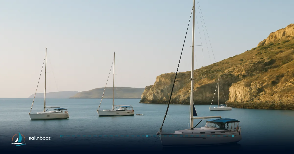
Gozo anchorages are compact and wind-controlled: choose your bay by the prevailing wind and how much ferry or shore access you need. Mġarr Harbour, Xlendi, Mġarr ix‑Xini, Ramla and Marsalforn each sit in the 3–8 m depth band with mostly sandy seabeds — the differences are exposure, traffic and shore facilities, and those three factors should decide where you drop the hook. Read the quick comparison below, then use the detailed notes for pick-and-avoid decisions during passage planning.
Mġarr Harbour: Key Anchorage Details
Anchorage Characteristics
Mġarr Harbour is a working ferry port with typical anchorage depths around 4–8 m over sand and mud and generally good holding for monohulls and catamarans when you pick clean sand patches. Expect compact space close to the marina fingers; the safer option for longer stays is to anchor outside the immediate marina basin and clear of commercial activity.
Practical points:
- Lay out 3–4 times the depth in rode (e.g., 12–32 m in 4–8 m depth) for all-chain, or 5:1 for rope/chain, adjusting for conditions and available space; keep the anchor set on clean sand patches and re-check holding after a wind shift.
- Avoid anchoring inside marked marina berths or swim/zones; contact Mgarr Marina on VHF 13 before manoeuvring.
Ferry Traffic and Customs
Gozo Channel ferries operate frequently on the Mġarr—Cirkewwa route (timetables show departures roughly every 30 minutes in peak daytime services), so anchor well clear of the ferry lane and maintain a listening watch on VHF. Ferries are large, manoeuvring regularly between the quay and the approach; their wash and passing traffic are the primary operational hazard.
Customs and port services are available at Mġarr as the island’s main ferry harbour; customs officers and port authorities can be contacted out of hours, so the harbour is commonly used as a clearance/arrival point for yachts. Expect standard check‑in procedures when you arrive by sea.
Local Amenities
Mġarr town (walking distance from the anchorage) provides basic provisioning, restaurants and transport links to Victoria (Rabat). If you want immediate town access for provisioning or crew shore time, Mġarr is the most convenient Gozo anchorage.
Xlendi Bay: Shelter and Amenities
Anchorage Conditions
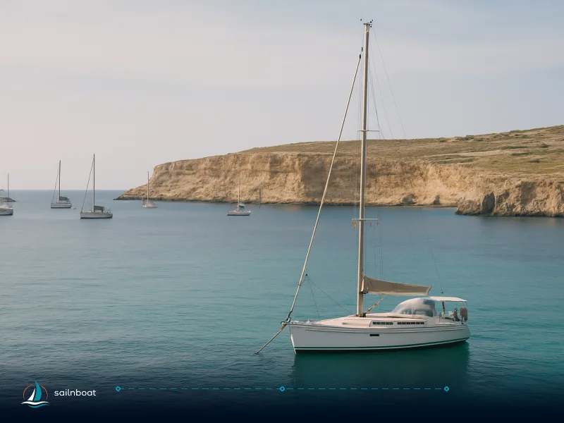
Xlendi is a narrow, rocky-sided bay with sand patches and typical depths around 3–6 m; holding is usually good over sand but mixed bottom requires careful selection of scope and set. The bay gives excellent shelter from northerly through easterly winds (N, NE, E); it is exposed to winds and swell from the south through west (S, SW, W), which can make it uncomfortable or untenable.
Practical points:
- If you anchor in the middle of the bay pick a sand patch and keep a short scope when protection is good, longer scope if swell is present.
- Watch for underwater rock ledges near the head of the bay and approach at reduced speed; use local depth contours on your chartplotter to pick sand.
Mooring Buoys
Mooring buoys are deployed in Xlendi seasonally and are a convenient short‑stay option when available. Their presence and exact season vary year to year, typically concentrated in the summer months (roughly May–October). Expect to pay a small day fee to use local buoys and check availability on approach or with local marina operators.
Village Access
The village of Xlendi lies right ashore: restaurants, a small beach and a promenade are within easy walking distance, making it ideal for evenings ashore. If you need a short stay with easy dining and a protected night, Xlendi is an efficient choice — provided the wind is not from the west.
Mġarr ix‑Xini: Historical Anchorage
Anchorage Features
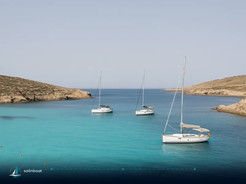
Mġarr ix‑Xini is a narrow, fjord‑like inlet with depths often recorded in the 3–8 m range over sand; the enclosed geometry gives excellent protection from the northerly and easterly sectors; it is exposed to winds and swell from the south through west (S–SW–W). Holding is typically excellent on the sand floor and the inlet’s narrow entrance reduces swell, making it a top choice when shelter is critical. Space is limited — plan on room for roughly 8–10 boats depending on size and how tightly vessels raft.
Practical points:
- Arrive early if you want a place in the head of the inlet during high season; tight turning and limited swing room mean larger yachts should keep watch for congestion.
- The inlet suits overnight shelter in northerly gales when exposed bays become uncomfortable.
Historical Context
Mġarr ix‑Xini has a recorded maritime role stretching back several centuries and was used as a galley harbour in the 16th century due to its concealment and protection — that same sheltered shape is what makes it attractive to yachts today. A small seafood restaurant sits at the head of the inlet and provides a straightforward shore option.
Ramla Bay: Optimal Usage Periods
Anchorage Conditions
Ramla Bay (the “Red Sand” beach) offers anchoring in roughly 3–8 m over clean sand with generally good holding; the bay faces north/northeast and therefore is exposed to N, NE and NW winds but sheltered from S, SW, SE and W. In settled conditions it’s comfortable and scenic, but the beach’s orientation means northerly storms produce chop and current that degrade comfort and safety.
Practical points:
- Use Ramla for day visits and calm overnight stays only when forecasts show light winds from the south quadrant.
- Be prepared to weigh anchor and move to a more sheltered inlet (Xlendi or Mġarr ix‑Xini) if a Gregale (strong NE/N) is forecast. Safety guidance and local anchors guides call out the Gregale as the principal seasonal hazard.
Best Months to Anchor
Ramla is best between May and October when sea conditions are most settled and on‑shore services (kiosks, lifeguards) are normally operating. November–March bring increased frequency of strong northerlies and rougher seas — those months are commonly advised against for vulnerable anchorages like Ramla.
Nearby Attractions
The Calypso Cave sits above the western end of Ramla; the broad sand beach and nearby archaeological sites make Ramla a good choice for crew wanting a beach day. Landing by tender is straightforward from a sand anchor.
Marsalforn Bay: Features and Local Attractions
Anchorage Characteristics
Marsalforn is a popular, town‑front bay with mixed sand and rock bottoms in the typical 3–6 m band; holding is fair on sand patches but variable where rock and weed occur. Use charted sand patches for anchoring and expect to re‑set if you find weed or rocky ground.
Protection and Exposure
Marsalforn is sheltered from the SE, S, SW and W but exposed to N, NE and NW. In settled weather it’s an easy, social stop with short walks to restaurants and dive operators; in strong northerlies the bay becomes uncomfortable and you should move to a more enclosed inlet.
Local Amenities
The waterfront is lively in summer, with multiple bars, restaurants and at least one established dive centre operating shore dives and guided outings. The Qbajjar salt pans lie a short walk north of the village — worth visiting by shore trip. Marsalforn is an efficient base for provisioning and diving logistics.
Quick Comparison Table
| Bay | Typical depth (m) | Seabed | Best protection (winds) | Typical holding | Best use |
|---|---|---|---|---|---|
| Mġarr Harbour | 4–8 | Sand & mud | Good in many directions inside port; avoid ferry lane | Good on sand | Town access, customs, provisioning. Anchor outside ferry lane. |
| Xlendi Bay | 3–6 | Sand (mixed rock edges) | Protected from N/NE/E and S; exposed W | Good on sand; mixed near rocks | Short stays, evenings ashore; seasonal buoys. |
| Mġarr ix‑Xini | 3–8 | Sand | Enclosed inlet — excellent shelter | Excellent sand holding | Shelter in gales, small-group anchoring (8–10 boats typical). |
| Ramla Bay | 3–8 | Clean sand | Sheltered from S, SW, SE & W; exposed N/NE/NW | Good on sand | Day/beach visits; best May–Oct; avoid northerlies. |
| Marsalforn Bay | 3–6 | Mixed sand & rock | Protected SE–W; exposed N/NE/NW | Fair (variable) | Diving, nightlife, short stays; watch exposure to northerlies. |
How to choose which bay — practical decision rules
- If you need town access, a clearance point and immediate provisioning, pick Mġarr Harbour but anchor outside the ferry lane and keep VHF watch.
- If the forecast is northerly (Gregale/NE), head for Mġarr ix‑Xini or Xlendi for true shelter; Ramla and Marsalforn are poor choices in those winds.
- If you want a beach day and calm conditions, Ramla is the first choice in summer months (May–October); plan to leave before any modelled north winds arrive.
- For dive operations, Marsalforn gives the best on‑shore dive support; use local dive operator briefings to confirm anchor spots and avoid protected underwater sites.
Safety checklist for anchoring around Gozo
- Check official charts and depth sounder when selecting sand patches; the seabed can change locally. Use electronic and paper charts together.
- Keep a VHF watch: Mġarr marina uses VHF 13 for movements; ports and ferry operators broadcast schedules and notices.
- Carry a long stern line for taking ashore if you plan to anchor in tight inlets like Mġarr ix‑Xini; this limits swinging and maximizes space.
- Monitor the synoptic forecast for the Gregale (NE gale) in autumn and winter; northern exposures become hazardous quickly.
- When using seasonal mooring buoys (Xlendi and some bays), confirm availability and fees on approach — buoy fields change seasonally and by year.
Plan your next anchorage in Gozo armed with the wind direction, the number of crew ashore you want, and a clear escape plan if the forecast shifts. Choose Mġarr for town and clearances, Xlendi and Mġarr ix‑Xini when shelter matters, and Ramla or Marsalforn when the sea is settled and you want beach or dive options.
Plan your next anchorage in Gozo with detailed insights.
Frequently Asked Questions
Typical depths in Mġarr Harbour are around 4–8 m over sand and mud with generally good holding; anchor outside the ferry lane and be ready to re-locate if traffic or local regulations require it.
Gozo Channel ferries operate frequently (roughly every 30 minutes in daytime schedules), so you must anchor clear of the ferry lane and keep a watch; VHF contact with the marina is standard before manoeuvring.
Xlendi is well-protected from N, NE, E and S winds but exposed to westerlies; depths are typically 3–6 m over sand with good holding and seasonal mooring buoys often available.
Mooring buoys are placed in Xlendi seasonally — most commonly during the summer months (roughly May–October) — but availability and exact dates vary year to year.
Mġarr ix‑Xini is a narrow, enclosed inlet used historically as a sheltered galley harbour since at least the 16th century; that sheltered geography is why it remains a reliable anchor spot today.
Ramla Bay is best from May to October in settled conditions; avoid the bay during northern gales (Gregale/NE blows) and the November–March season when northerlies are most frequent.
Marsalforn offers a lively waterfront with restaurants, dive centres and the nearby Qbajjar salt pans; it’s a good staging point for shore provisions and diving trips.
Written by
Sailnboat Editorial
The Sailnboat editorial desk covers yacht and boat chartering worldwide — routes, bases, seasons, boat types, paperwork and the practical costs that decide a trip. We are a charter marketplace, not a boat owner or a local agency: what we sell is judgement and support, so our guides are written to help you make a decision, not to sell you a specific boat. Every guide is checked against live operator and marina data before it goes out.
Fact-checked against live operator and marina data, and published under our editorial standards. Last reviewed: .