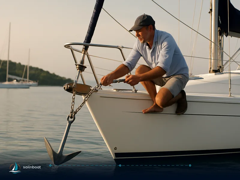
Malta Anchorages: Where to Drop the Hook (and Where Not to)
Practical, decision-ready anchor guidance for charterers in Malta and Gozo: exact positions, depth ranges, seabed, swimmer/no-anchor zones and the checks to run before you drop the hook.

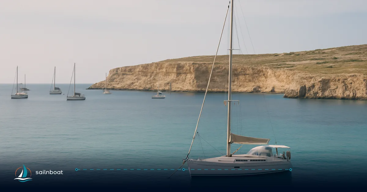
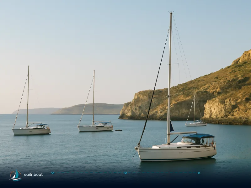
For charterers the right malta anchorages depend on shelter, seabed and local restrictions: Mġarr ix‑Xini is the go‑to for secure overnight shelter, Blue Lagoon gives shallow sand and clear water but has an enforced swimmers’ zone and mooring buoys, and Xlendi, Ramla, Marsalforn, Dwejra and Hondoq all work as day or overnight options with different exposure and seabeds. Below are coordinates, depth ranges, seabed and exactly where Transport Malta has placed swimmer/no‑anchor rules so you can decide where — and where not — to drop the hook.
Top Anchorages in Malta and Gozo
The list below gives the practical facts you need before committing: GPS position, depth range, seabed and what to watch for (swimmers, buoys, ferry lanes, dive‑site restrictions). Sources quoted are Transport Malta and verified anchorage guides/dive maps.
Mġarr ix‑Xini
- GPS: approx. 36.0168° N, 14.2729° E (several monitoring and local sources list the bay around 36.016–36.020 N, 14.271–14.274 E).
- Depth: typically ~3–8 m inside the fjord; depth increases quickly at the entrance.
- Seabed: mainly sand and patches of Posidonia/rock near the margins; good holding in sandy sections.
- Protection/holding: exceptionally sheltered from most directions (the enclosed fjord gives almost no wind penetration), excellent holding where sand is present. Space is limited—expect room for fewer than 10 boats in high season; stern‑to or fore‑and‑aft setups are common.
- Notes: narrow entrance — steer centre channel and reduce speed. Do not anchor inside the innermost quay near the restaurant; stern lines are sometimes used to limit swing.
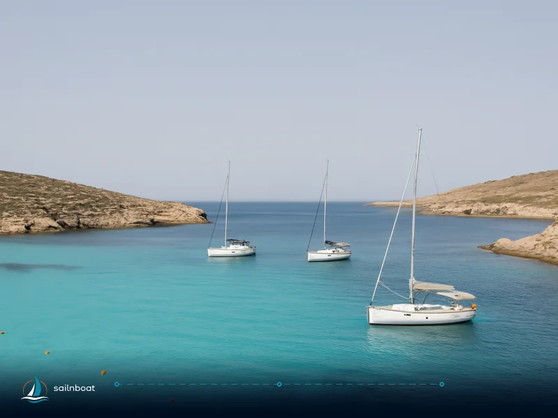
Blue Lagoon (Comino)
- GPS (general/location): ~36.0129° N, 14.3237° E; official swimmers’ zone positions are published by Transport Malta in Local Notices to Mariners (for example, Notice No. 046 of 2025 defined coordinates for the swimmers’ zone).
- Depth: very shallow close in — typically 2–6 m for practical anchoring spots; sand bottom.
- Seabed: mainly sand — good holding where Posidonia is absent; avoid anchoring on seagrass.
- Protection/holding: good protection from northerly and easterly winds in calm conditions; extremely busy in summer daytime — ferries and day boats dominate. Transport Malta has delineated swimmers’ zones and mooring buoys on the Cominotto side for overnight stays; mooring buoys are commonly charged per night. Monitor the local buoys and avoid the swimmers’ perimeter.
Xlendi Bay (Gozo)
- GPS: ~36.030–36.031° N, 14.216–14.218° E (local monitoring lists 36.0298–36.031).
- Depth: commonly 3–6 m inside the cleft; seabed varies sand with rocky patches and reefs.
- Seabed & holding: mixed sand/rock: holding is generally fair in sandy pockets but pick your spot; the bay can be subject to swell when the W/SW comes up.
- Notes: mooring buoys present close to the village; anchor further in for shelter but leave room for local boats and take care with swim areas marked by buoys in summer.
Ramla Bay (Ramla l‑Ħamra)
- GPS: monitoring sites around 36.0655–36.0733° N, 14.2833–14.2838° E (Ramla spans a broad stretch).
- Depth: typically 3–8 m; sand bottom with wide swing room.
- Seabed & holding: sandy, reliable holding where you anchor in sand; excellent swing room makes it good for families and day stops.
- Notes: fully exposed to northerly Gregale/NE storms — vacate the bay quickly on any Gregale forecast (winter risk).
Marsalforn Bay
- GPS: around 36.069–36.074° N, 14.258–14.266° E (Marsalforn and nearby Xwejni area coordinates vary by source).
- Depth: commonly 3–6 m close in; sand/mud bottom with some rocky ledges.
- Protection/holding: fair holding but exposed to northerlies; busy tourist waterfront with local moorings — avoid the ferry/boat lanes and swim markers.
Dwejra Bay
- GPS: Dwejra (Inland Sea / Blue Hole area) sits on Gozo’s west coast; anchoring positions are typically 4–12 m. (See local dive‑buoy exclusions before dropping anchor.)
- Depth: 4–12 m; seabed rock with some sand patches — holding can be variable.
- Notes: dive site buoys mark exclusion areas; keep clear of buoyed dive zones and anchor on sand patches only. Exposed to W/SW swell — best in settled E/NE conditions.
Hondoq ir‑Rummien
- GPS: ~36.0278° N, 14.3219° E (SE tip of Gozo facing Comino).
- Depth: commonly 3–6 m; sandy bottom and good holding where sand is present.
- Notes: faces Comino — good choice when the Majjistral (NW sea breeze) is blowing and quieter than the Blue Lagoon; watch for swimmer markers and the local boat‑launch ramp.
Quick comparison table
| Anchorage | Approx GPS (WGS84) | Typical depth (m) | Seabed | Best protection | Key local cautions |
|---|---|---|---|---|---|
| Mġarr ix‑Xini | 36.0168 N, 14.2729 E. | 3–8 | Sand / patchy Posidonia | Very sheltered (fjord) | Limited space, stern‑to or fore‑and‑aft anchoring recommended. |
| Blue Lagoon (Comino) | 36.0129 N, 14.3237 E. | 2–6 | Sand | Sheltered in calm weather | Official swimmers’ zone and mooring buoys (Transport Malta). Very crowded daytimes. |
| Xlendi Bay | ~36.0304 N, 14.2169 E. | 3–6 | Sand / rock | Good from NE/SE | Mooring buoys; observable swell from W/SW. |
| Ramla Bay | ~36.0656 N, 14.2838 E. | 3–8 | Sand | Good from S/SE | Exposed to NE Gregale — leave early if NE forecast. |
| Marsalforn | ~36.0709 N, 14.2652 E. | 3–6 | Sand / mixed | Sheltered from S/SE | Local moorings & swim markers; exposed to N winds. |
| Dwejra Bay | West Gozo (Dwejra) | 4–12 | Rock, mixed | Best in E/NE | Dive buoys / protected dive sites — anchor well clear. |
| Hondoq ir‑Rummien | 36.0278 N, 14.3219 E. | 3–6 | Sand | Good against NW winds | Faces Comino — quieter alternative to Blue Lagoon. |
Anchoring depths and seabed types — what to expect
- General range: practical anchoring depths in Malta and Gozo run roughly from 2–12 m depending on the bay; the busiest, shallow anchorages (Blue Lagoon, Hondoq) sit in the 2–6 m band while exposed bays and drop‑offs (Dwejra) reach 10–12 m or more.
- Seabed types: you will find sand (best holding), sand with Posidonia (avoid anchoring on seagrass where possible), rock and boulder fields (poor holding). Posidonia oceanica meadows are widespread and considered environmentally sensitive—much guidance and some local rules push boats to anchor only where sand/mud exists.
- Practical tip: if the chart shows Posidonia or the seabed is patchy, aim for sand patches identified on up‑to‑date charts or by local harbour authorities — digging a fluke into Posidonia risks fouling and damaging the habitat and is widely discouraged.
Swimmer zones and no‑anchor areas
- Transport Malta publishes designated swimmers’ zones and enforces them with marker buoys and Local Notices to Mariners. Blue Lagoon has a documented swimmers’ zone with explicit coordinates and a minimum safety distance — Transport Malta publishes these positions and instructs mariners to keep a minimum distance from swimmers’ boundaries in the relevant Local Notices to Mariners. Do not anchor inside these coordinates.
- Other public bathing areas (parts of Xlendi, Marsalforn, Hondoq and others) are periodically assigned swimmer zones or buoyed areas — these are included in Transport Malta Notices and local plans; always check the current Notices to Mariners before approaching a bay.
- Mooring buoys: in busy areas such as the Blue Lagoon, Transport Malta and local operators deploy yellow mooring buoys and (on the Cominotto side) paid moorings for overnight. When mooring buoys are present, use them rather than anchoring in the swimmers’ zone or on Posidonia. Mooring buoy charges vary locally; guides often report modest nightly charges for buoys in the Blue Lagoon area, but confirm the current rate with the operator or Transport Malta.
Local regulations on anchoring
- The regulator: Transport Malta’s Ports & Yachting Directorate issues Notices to Mariners, defines swimmers’ zones and runs the VTS system; mariners must monitor the VHF channel assigned to the local VTS/LPS. Valletta VTS, Marsaxlokk VTS and Mgarr LPS each publish working channels and temporary exclusion areas.
- VHF & port control: maintain a listening watch on the local VHF — Valletta VTS, Marsaxlokk VTS and Mgarr Local Port Service each publish working channels for their areas; check the current Transport Malta Notices or port information for the correct channel assignments. Channel allocations and temporary instructions are in Transport Malta notices.
- Buoys and swimmer safety: it is prohibited to secure to Transport Malta marker buoys or swimmers’ zone gear; observe the minimum buffer distances listed in the published Local Notices to Mariners. Penalties or removal of gear can be enforced by authorities.
- Fees: paid mooring buoys and official visitor moorings exist in some popular spots (Blue Lagoon, Cominotto side); charges are typically modest but vary by season and operator — plan on a small nightly charge in busy sites and check the current rate with the buoy operator or Transport Malta notices.
Pre‑drop checks for safe anchoring (step‑by‑step)
- Chart & Notices: consult your paper/electronic chart for depth and seabed, then check the latest Transport Malta Notices to Mariners for swimmer zones, temporary exclusions, events or exercise areas. If a bay is listed in a Notice, treat it as authoritative.
- Wind & fetch: confirm current and forecast winds (local forecasts and barometer); if a Gregale/NE gale is forecast, vacate north‑facing bays (Ramla, Marsalforn).
- Seabed check: use a depth sounder to identify a sand patch and avoid obvious Posidonia/rock on approach; if only Posidonia is available, plan to use a designated mooring buoy or move elsewhere.
- Swing room & scope: lay out enough scope — for leisure craft typical ranges are 5:1 in calm conditions to 7:1 in variable conditions — and check the radius your anchor will swing against nearby boats, rocks or moorings. (For fjords/very confined anchorages like Mġarr ix‑Xini stern lines or fore‑and‑aft setups are often used.)
- Mark position & set: choose a position in sand, approach slowly into wind, set the anchor with firm reverse on the engine and confirm with bow thruster/engine that the anchor holds. Run a short reverse check and inspect chain scope visually if possible.
- Anchor alarm & watch: activate an anchor alarm (phone/GPS and/or plotter) and keep a listening watch on the local VHF channel assigned for the area.
- Snubber & fendering: fit a snubber on the chain to reduce shock loads, and set fenders if stern‑to to protect the hull from rubbing on rocks or quays.
- Communicate: when relevant, notify local port service (Mgarr LPS for Gozo approaches) of your intentions — the VTS or LPS may request position reports for safety.
Additional tips for charterers
Communication
- Monitor the appropriate VHF channel for the area you’re entering; Valletta VTS, Marsaxlokk VTS and Mgarr LPS each have assigned working channels for their respective ports and nearby waters; check the latest Transport Malta Notices or port information for the current channel assignments. Use Ch 16 only for initial distress/calling and then switch to the working channel.
Environmental considerations
- Posidonia meadows are EU‑recognised habitats and widespread around Malta/Gozo; they are important to avoid. Anchor on sand/mud only where available; in protected habitats use a mooring buoy. Many dive sites and marine protected areas are explicitly buoyed or listed in Notices to Mariners. �and treat those buoys as the primary option for overnight stays or when seagrass is present. Do not attempt to lift or relocate Transport Malta markers — they are placed for safety and conservation.
Practical environmental actions you can take
- Never anchor on Posidonia meadows; use mooring buoys or move to a sandy patch. Repeated anchoring on seagrass kills the meadow and can expose you to local enforcement.
- Run engines only when necessary in shallow bays to reduce prop‑scar damage to the seabed. When manoeuvring in shallow sand patches move slowly and avoid wide propeller sweeps.
- Dispose of rubbish ashore; carry fuel‑absorbent pads for any small diesel drips and use marina pump‑out facilities for black water where available. Many marinas on Malta and Gozo offer pump‑outs at modest fees.
- Respect dive operations: when you see dive flags or buoys, give a wide berth, reduce speed and be prepared to hold position on VHF if dive boats request it.
If the anchor drags
- Immediately increase scope, back down on the engine to re‑set and visually check chain run on the windlass. If re‑setting fails, prepare a second anchor from the bow and use it as a stern/backup or snubber.
- Notify the local VTS/LPS if you are drifting toward rocks, swimming areas or shipping lanes — call Valletta VTS (working channel), Mgarr LPS when near Gozo approaches, or Marsaxlokk VTS for the south coast. A short VHF call can prevent a larger incident.
- Use anchor alarm, keep wheel/engine ready to motor, and have crew on lookout to drop the second anchor or take measures.
Short decision matrix for choosing an overnight anchorage
| Situation | Best choice | Avoid |
|---|---|---|
| Need maximum shelter overnight | Mġarr ix‑Xini | Blue Lagoon daytime anchorage |
| Family swim + shallow water | Ramla or Hondoq | Rocky Xlendi swim edges |
| Quiet alternative to crowds | Hondoq (facing Comino) | Comino central Blue Lagoon daytime |
| Strong NE/Gregale forecast | Sheltered southern coves of Malta main | Exposed north beaches like Ramla |
Final checklist before you drop the hook
- Confirm Transport Malta Notices to Mariners for swimmer/no‑anchor zones.
- Check depth and seabed via chart and echo sounder; identify sand.
- Verify wind direction, forecast and fetch; confirm shelter quality.
- Calculate scope (5:1–7:1 typical); prepare snubber and bow cleats.
- Set anchor with backing‑down test; activate anchor alarm and watch VHF.
- Note your GPS position and tell crew the plan for an emergency re‑anchor or weigh.
Plan your next yacht charter in Malta and explore these anchorages — pick the bay that matches your weather window, crew needs and respect for local rules. If you’d like, we can help you choose the best base and charter package for the exact itinerary, wind window and boat type you prefer.
Frequently Asked Questions
Top choices are Mġarr ix-Xini (shelter, good sand holding), Blue Lagoon (shallow sand, crowded; mooring buoys in place), Xlendi, Ramla, Marsalforn, Dwejra (clear but dive-buoy restrictions) and Hondoq ir-Rummien.
Typical depths run 2–12 m: Blue Lagoon and Hondoq ~2–6 m (sand), Mġarr ix-Xini ~3–8 m (sand), Xlendi ~3–6 m (sand/rock), Dwejra 4–12 m (rock with patches of sand).
Blue Lagoon has an official swimmers’ zone with published coordinates and a required safety buffer; Transport Malta also designates swimmer zones in Xlendi, Marsalforn and Hondoq at times—these are published in Local Notices to Mariners.
Transport Malta reserves swimmer zones and prohibits vessels/gear inside them; a 5 m minimum safety distance is specified for the Blue Lagoon swimmer zone in the 2026 Local Notice to Mariners.
Use current nautical charts & Transport Malta Notices to Mariners, monitor the correct VHF channel, anchor on sand/mud where Posidonia is absent, use mooring buoys where provided, set at least 5:1 scope and run an anchor alarm.
Written by
Sailnboat Editorial
The Sailnboat editorial desk covers yacht and boat chartering worldwide — routes, bases, seasons, boat types, paperwork and the practical costs that decide a trip. We are a charter marketplace, not a boat owner or a local agency: what we sell is judgement and support, so our guides are written to help you make a decision, not to sell you a specific boat. Every guide is checked against live operator and marina data before it goes out.
Fact-checked against live operator and marina data, and published under our editorial standards. Last reviewed: .