Staniel Cay Anchorages: Thunderball & Big Major for Cruisers
Practical, decision-ready guidance for anchoring at Staniel Cay: exact anchorage locations, depth ranges, mooring options and timing to transit Staniel Cay Cut safely.

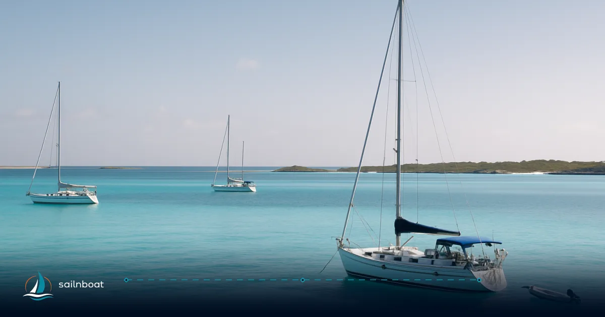
If your plan is to anchor at Staniel Cay, pick your objective first: access Thunderball Grotto for snorkeling (shallow, reef‑fringed water) or stage at Big Major (Pig Beach) for easy dinghy access and sandy holding — both are viable, but they demand different depths, timing and swing room.
Best Anchorage Spots Near Thunderball Grotto
Thunderball Grotto Anchorage Details
- Where: the grotto sits on the reef just off Staniel Cay; charted positions for the grotto cluster around 24.1787° N, 76.4470° W.
- Recommended depth for anchoring nearby: typically about 1.0–4.5 m (3–15 ft). Inside the pool and cave the water is much shallower (the cave itself is a snorkel/diving feature rather than an anchoring location). Sources reporting depths around 6–16 ft align with local pilotage notes — treat the upper end as the limit for vessels with deeper drafts.
- Bottom and holding: sand and patchy coral; holding is acceptable on sand but poor over live coral — aim for sand patches and avoid anchoring on coral heads.
- Swing and spacing: the bank shallows quickly with the tide; give a large swing radius (80 m or more recommended for small to medium yachts in crowded conditions) and anchor where you cannot swing onto reef or other boats.
- Timing to visit the grotto: plan your swim/snorkel at low or slack tide — the current through the cave can be strong or hazardous at higher water, making entry difficult or unsafe.
Practical decision: if you want immediate dinghy access to the grotto and short swims from the boat, anchor on the sandbank to the west/north‑west of the grotto in 1–4.5 m; if you prefer fewer neighbours and easier swinging room consider a short reposition to Big Major Spot and dinghy back.
Anchorage Options at Big Major Cay
Big Major Cay Anchorage Details
- Where: the Pig Beach / Big Major anchorages lie on the bank side of Big Major Cay — typical coordinates referenced for the Pig Beach area are approximately 24.1836° N, 76.4564° W (charted positions vary slightly; use your official chart).
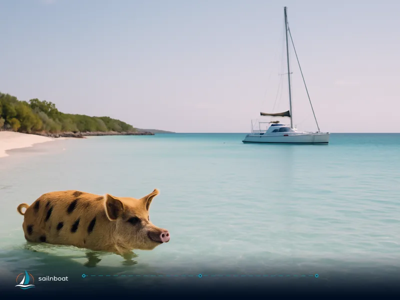
- Depths and bottom: typical anchoring depths are about 2–5 m (6–16 ft) over sand and seagrass, with good holding on sand. These depths make Big Major suitable for most cruising monohulls and catamarans with modest draft.
- Moorings: there are mooring balls in the Staniel Cay / Big Major area and the Big Major anchorage is popular with day‑boat tours and transient yachts; expect moorings to be taken in peak season and holiday periods.
- Crowding & dinghy distance: Pig Beach is frequently busy; if you anchor on the bank you may be a short dinghy ride (often under 15 minutes) to the beach and Staniel Cay services — plan for a busy dinghy landing and follow local guidance on feeding rules for the pigs.
Decision trade‑off: Big Major gives easier beach access and slightly deeper sand anchorage but is more crowded; Thunderball is closer for the grotto but is shallower and requires more attention to swing and reef.
Tidal and Current Considerations
- Typical tidal range: the Exuma bank system is microtidal — mean ranges commonly cited are approximately 0.6–1.0 m (roughly 2–3 ft) depending on location and lunar phase. Expect local variation across the bank and into creeks.
- Currents in cuts: the cuts between the bank and Exuma Sound (including Staniel Cay Cut and neighbouring passes) commonly run 2–3 kt at peak and can exceed that during spring tides or strong weather conditions; these flows can create steep, confused seas when wind opposes the tide. Time your transit accordingly.
- How tides affect anchoring: a modest vertical tide still produces significant horizontal flow through cuts, which changes depth over shallow anchorages and increases drag risk. Use anchor alarms, set extra scope when leaving anchorages near a cut, and re‑check your position after tidal changes.
- Best practice for anchoring and grotto visits: for safe grotto access aim for low to low‑slack tide; for passing cuts plan slack or a favourable flood (entering the bank on a flood is generally safer for many cuts if you’re inexperienced).
Facilities at Staniel Cay Yacht Club
Amenities Offered
- Fuel & water: SCYC operates a dedicated fuel dock open daily (fuel dock hours published as 08:00–17:00) and sells reverse‑osmosis purified water at published unit rates. Electricity and water rates are published on the marina page (electric ~ $1.20/kWh; water ~$0.40/gal). Checkout is typically 10:00.
- Moorings & dockage: the club lists 21 mooring balls and 18 slips for a range of vessels; published mooring nightly rates vary by vessel length and season (examples from the club: <50' ≈ $48.40–$62.40/night; 50–65' ≈ $60.50–$76.50/night; >65' ≈ $77–$99/night). Partial‑day (two‑hour) rates are published as lower flat fees for short visits.
- Provisions and services: the club provides ice, bait, some provisioning and a restaurant/bar; internet is available in the clubhouse for registered guests. There is limited shop stocking on the cay — don’t expect supermarket range.
- Entry paperwork / cruising permit: the marina lists Bahamas cruising permit fees applied to visiting vessels (examples for foreign boats are published on the SCYC page and show category fees for stays up to three months). Budget for these statutory fees in addition to marina/mooring charges.
Money‑management tip: mooring/dock fees are published in US dollars and change seasonally; if you need a guaranteed berth during high season (Dec–Mar) book ahead and expect the moorings/dock to fill.
Navigating Staniel Cay Cut Safely
Recommended Navigation Practices
- Timing: transit Staniel Cay Cut only in daylight and at or near slack water if you are unfamiliar with the cut; experienced skippers will sometimes take the flood. Do not attempt the cut at night or when a strong ebb is running with wind opposing tide — dangerous “rage” conditions can form.
- Equipment & preparation: approach with up‑to‑date electronic charts (Navionics/Explorer), paper backup, a calibrated depth sounder, working VHF and the charted track plotted before you arrive. Stand clear of the edges of marked channels and be aware of shallow ledges and occasional rocks reported near approaches.
- Communications: Staniel Cay Yacht Club monitors VHF (club information lists VHF Ch. 16 for contact); call ahead if you need local advice or to check conditions.
- If conditions go wrong: if you meet an opposing steep sea (wind against strong ebb), reduce throttle, keep the bow up to sea, consider turning back to a sheltered anchorage or wait for slack; have anchors ready and crew briefed for a rapid set if necessary. Local skippers often recommend giving yourself an extra margin on fuel and daylight when planning to transit the Sound/cuts.
Practical Notes for Exumas Cruisers
General Cruising Tips
- High season and reservations: December–March is the busy season — moorings and slips at SCYC and the Pig Beach area commonly fill; reserve a mooring or plan an alternative anchorage in advance.
- Anchor technique: in sand/seagrass use a trusted anchor (plough or modern fluke designs set well), test the set, and use an anchor alarm; typical anchoring depths given above imply a moderate scope — set extra scope if conditions deteriorate. Many cruisers carry a second anchor for stern or Bahamian moor in close quarters near cuts.
- Wildlife & behaviour: Pig Beach animals are wild — follow local rules about feeding (local operators charge for pig interactions) and do not feed pigs alcohol or inappropriate food. Respect protected sites and do not anchor on coral.
- Safety kit and contingencies: bring a shallow‑water anchor plan, a dinghy with a reliable outboard, water for crew and a spare fuel reserve if you plan to cross Exuma Sound. Expect limited provisioning on Staniel Cay itself — restock larger items at Georgetown where possible.
Comparison table — quick reference
| Spot | Approx. coords (chart) | Depth range (m) | Bottom | Moorings / crowd |
|---|---|---|---|---|
| Thunderball Grotto (bank side) | ~24.1787°N, -76.4470°W | 1.0–4.5 m | Sand with coral patches — avoid anchoring on reef | Anchor; moorings nearby limited; busy on day trips. |
| Big Major Spot (Pig Beach) | ~24.1836°N, -76.4564°W | 2–5 m | Sand / seagrass — good holding | Moorings available; frequently crowded in season. |
| Staniel Cay Yacht Club (marina) | Staniel Cay lagoon | Face dock depth to ~3.6 m+ at low water on face; slips >12 ft MLW | Dockage & fixed moorings | 21 moorings, slips; published nightly & partial‑day rates (seasonal). |
Final checklists before you arrive
- Charts & tide tables: load up Navionics/Explorer and print your charted track; confirm local tide times and predicted slack for the cut you will use.
- Gear: spare anchor/rode, anchor alarm, fenders for raftups, dinghy fuel, crew briefing on pig/shore conduct, and trash bags (trash disposal at SCYC is charged per bag).
- Money & permits: budget for published SCYC mooring/nightly rates (USD) and Bahamas cruising permit/entry fees for your vessel category — these are statutory and listed on marina information pages.
Plan your anchoring strategy and prepare for your visit to Staniel Cay: pick the anchorage that matches your draft and tolerance for crowds, time the transit of Staniel Cay Cut for slack if you’re not confident in running current, and use Staniel Cay Yacht Club for fuel, water and an easy shore stop when you need them.
Plan your anchoring strategy and prepare for your visit to Staniel Cay.
Frequently Asked Questions
Anchor on the bank to the west/north‑west of the grotto in sand at roughly 1–4.5 m (3–15 ft); set well clear of coral and allow a large swing radius because the bank shallows with tide.
Big Major’s main anchoring area (the ‘Big Major Spot’ or Pig Beach anchorage) typically offers 2–5 m (6–16 ft) over sand — good holding but crowded in high season.
The Exuma banks have a small tidal range (roughly 0.6–1.0 m), but the cuts between the bank and Exuma Sound produce strong currents (commonly 2–3 kt) that change water over shallow anchorages; use anchor alarms and plan for tidal variation when setting scope.
The Yacht Club offers fuel (dedicated fuel dock), fresh RO water, electricity, ice, bait, 21 mooring balls, dockage for large yachts, internet in the clubhouse and trash disposal (fees apply).
The SCYC publishes nightly mooring fees by vessel length (examples: <50' ≈ $48–$62/night; 50–65' ≈ $60–$76/night) and partial‑day capped short stays (e.g. $28–$44 depending on size); rates vary by season.
Transit in daylight at or near slack tide (or with the flood if experienced), monitor VHF (SCYC lists VHF Ch. 16), run conservative margins on charts, and avoid passage with wind against a strong ebb to prevent a steep, broken sea.
Written by
Sailnboat Editorial
The Sailnboat editorial desk covers yacht and boat chartering worldwide — routes, bases, seasons, boat types, paperwork and the practical costs that decide a trip. We are a charter marketplace, not a boat owner or a local agency: what we sell is judgement and support, so our guides are written to help you make a decision, not to sell you a specific boat. Every guide is checked against live operator and marina data before it goes out.
Fact-checked against live operator and marina data, and published under our editorial standards. Last reviewed: .