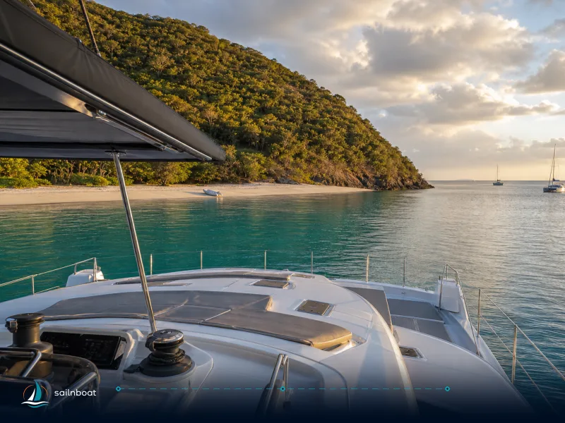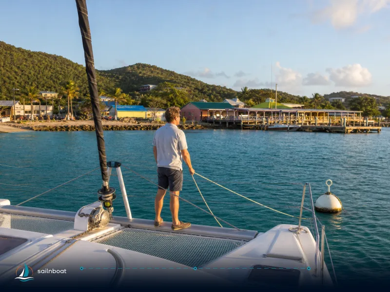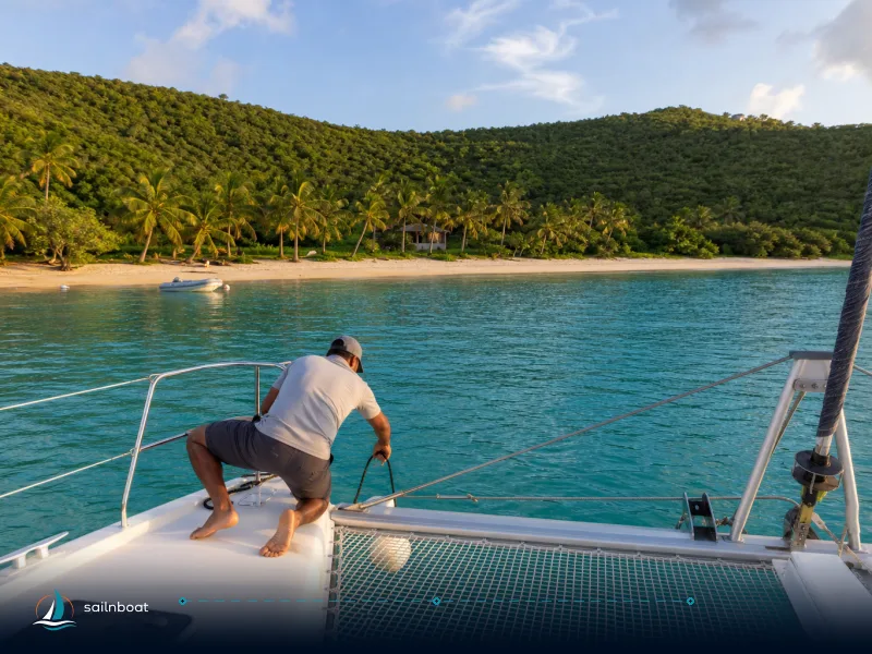
A Week Around Peter Island & Salt Island: Your Sailing Itinerary
A practical 7‑day Peter Island sailing itinerary: day-by-day routing, GPS anchorages with depth ranges, mooring/park rules, RMS Rhone snorkel notes, provisioning and a captain’s squall log.

Expect short days (mostly under 10 nm), quiet anchorages and a single night when a squall will test your anchor set — this peter island sailing itinerary gives you the exact GPS points you’ll use, the depth ranges and who controls the moorings, plus snorkel notes for the RMS Rhone and practical provisioning advice so you don’t get stranded without fresh food.
Overview of Your Sailing Itinerary
This seven‑day loop starts from Tortola (Road Town, at Fort Burt Marina or Wickhams Cay II), moves onto Peter Island’s northerly bays and its quieter south anchorages, swings to Salt Island for the Rhone and nearby gardens, then returns to Peter Island for provisioning before you finish with a direct sail back to your Road Town charter base. Peter Island Yacht Club is not a charter base; all charters start and end at a listed base in Road Town.
Daily Route Breakdown
- Day 1 — Road Town (Tortola) → Peter Island (Deadman’s Bay or Great Harbour). Short run: usually 5–7 nm depending on your slip; an easy first-leg for trimming sails and checking systems.
- Day 2 — Deadman’s Bay: snorkel along the eastern headlands, beach and short hikes on the island’s trail network. Moorings are resort‑controlled; call on VHF.
- Day 3 — Sail the Sir Francis Drake Channel to Salt Island (settlement side) and pick up a mooring or anchor outside designated marine park lines; short hop, typically 2–4 nm from Peter Island anchorages.
- Day 4 — RMS Rhone snorkel / dive day. Use the National Parks Trust mooring buoys (day‑use rules apply). Plan surface support for snorkelers; the wreck sits across a wide depth band.
- Day 5 — Reverse back to Peter Island (Great Harbour or Little Harbour) for a quieter night and to regroup; check mooring availability with the resort.
- Day 6 — Provisioning run (if needed) to Tortola (Road Town) or take advantage of delivered provisioning at your charter base; otherwise explore Little Harbour’s shore lunch options.
- Day 7 — Sail from Great Harbour (Peter Island) back to Road Town (Fort Burt Marina or Wickhams Cay II). The passage is typically 5–7 nm and can be covered in 1.5–2.5 hours depending on wind and sea state. Plan to arrive with daylight to spare for check-in and final boat preparations. All charter returns are at Road Town; Peter Island Yacht Club is not a charter base.
Practical note: this loop keeps daily sails short so you can move slowly, sleep well and still cover the RMS Rhone without a long passage.
Anchorage Spots and Mooring Details
Below are the anchorage choices you will actually use on this route, with the GPS points and operational notes that matter when you radio‑in or pick up a ball.
| Anchorage | GPS (approx) | Typical depth (m) | Typical fee (USD / EUR) | Notes |
|---|---|---|---|---|
| Deadman’s Bay (Peter Island) | 18.3599° N, -64.5708° W (approx). | Depths in the eastern shoal anchoring area are typically shallow; confirm actual depths with your depth sounder and local charts as they can vary. | Resort‑run moorings; fee not published online — expect to pay the resort or use their booking channel (day‑use charges sometimes apply). Typical BVI moorings run |
Best as a day stop if an easterly swell is present; resort controls moorings and beach access rules. |
| Great Harbour (Peter Island) | 18.3594° N, -64.5770° W (chart position). | 6–20 m in the fairway and deeper parts; anchoring in sand/mud gives good holding. | Moorings present; fees collected by the marina/resort (not always published). Overnight anchoring is commonly possible in the quieter western reaches. | Sheltered night option if you want a calm sleep away from the channel. |
| Little Harbour (Peter Island south shore) | ~18.3541° N, -64.6001° W (approx). | Central spots are generally shallow over sand; always check depth with your sounder and local charts before anchoring, as coral heads and depth can vary. | Local ball fields in the BVI typically $30–55/night; some local operators collect ashore. (~€27–49). | Quiet overnight bay; good stern‑to options and a short beach walk for lunch. |
| RMS Rhone (Salt Island / marine park buoys) | 18.3687° N, -64.5356° W (wreck centroid). | Wreck lies in two main sections between ~6 and 24 m (20–80 ft); surface snorkelling only on shallow stern sections when sea state allows. | Day‑use buoys are marine‑park moorings — no overnight; the National Parks permit covers these day moorings (your charter base normally sells the permit). | Anchoring in the marine park is prohibited; follow buoy limits (often 90 minutes on red/yellow trust balls). |
Depths are ranges taken from published park and cruising guides and local charts — use your depth sounder and give appropriate scope for the depth at the time you enter. Mooring fees in the BVI vary by operator and season; many operators publish first‑come and reservable ball prices (roughly $30–55/night) while private‑resort mooring charges are arranged directly with the resort.
Snorkeling Adventures at Notable Sites
You’ll plan two primary snorkel objectives: shallow coral gardens and the RMS Rhone wreck.
RMS Rhone wreck
- What you’ll find: the Rhone sits in two principal sections and is heavily colonised by corals, sponges and reef fish; sightings commonly include turtles and barracudas around the site. Depth across the wreck runs from about 20–80 ft (≈6–24 m), so snorkelers should expect to peer down to deeper structure and only freedive where confident.
- Access: pick up an NPT mooring buoy (red/yellow Trust balls) — anchoring is forbidden within the marine park. The Trust’s day‑use moorings have time limits; most charter bases sell the permit as part of your booking.
- Practical tip: when the sea is calm and visibility good the shallow stern section makes a rewarding surface snorkel; if there is any current, favour an organised dive/snorkel operator who will position skiffs and manage safety.
Coral Gardens and nearby shallow reefs
- Where: several small reefs and coral gardens lie between Peter Island and Salt Island; local guides often label one spot “Coral Gardens” near Salt/Peter. Typical snorkel depths for these gardens are 1–5 m and they host parrotfish, wrasse, small rays and colourful reef fish.
- Suitability: good for mixed‑ability groups; protect the coral — don’t stand on it and keep fins clear of delicate heads.
Provisioning in Secluded Harbors
Plan to provision fully before you leave Tortola — the south islands are lightly serviced and the Peter Island resort controls many moorings/visitor facilities.
- Where to stock: Road Town supermarkets (RiteWay, OneMart, Bobby’s and smaller specialty delis) and local provisioning companies will shop and deliver to your charter base or marina. Online ordering and boat delivery are common; include extra ice, bottled water and perishables if you intend to spend multiple days off the grid.
- What to bring for the week: reliable chilled proteins (fish/steak), long‑life dairy and eggs (use cooler rotation), fresh fruit for the first 2–3 days, plus extra bottled water. If you plan to dive/snorkel and eat catches ashore, check local rules for fishing permits.
- On‑island options: Peter Island Resort offers day‑visitor facilities and limited services — expect higher prices and restricted access for non‑guests; book day‑use or moorings through the resort when required. Many small beach bars/restaurants on neighbouring islands operate cash or card and close after mid‑afternoon.
Practical provisioning workflow: order a T‑0 delivery to your base in Road Town, pick up fresh produce the morning you depart, and bring a basic emergency bag (storable bread products, canned protein, a block of hard cheese) stored in an accessible locker for days you won’t reach a shop.
Navigating Weather Challenges
The BVI enjoy reliable trades but local effects and isolated squalls are real. Here’s what to expect and how to prepare.
Typical weather patterns
- Trade winds: November–April are the most stable months with typical trade winds 12–20 knots ENE–E; December–February can push a little higher occasionally.
- Squalls and showers: short‑lived squalls or convective showers often develop off the island slopes and can add 5–15 knots to the forecast in a matter of minutes; watch cloud build and radar when available.
Handling a squall at anchor — a captain’s log (realistic, practical)
On one voyage on this loop our anchor watch spotted a fast‑building squall line on radar and clouds to windward. The sequence we followed is the one I recommend:
- Pre‑squall preparation (before the squall hits)
- Brief the crew: helm, anchor watch, snubber operator, and dinghy operator all know roles.
- Add scope immediately (but keep tugs and tidal limits in mind) — in shallow anchorages that often meant 6:1 to 7:1 when possible.
- Put an additional snubber on the bow and a secondary bridle in place; rig a stern line or prepare to run a stern line ashore where that’s feasible.
- Prep the dinghy and casualty kit (lifejackets, flares, VHF), and secure all loose items above and below.
- During the squall
- The wind built from steady trade to sustained high‑20s with gusts into the low‑30s (mid‑20s to mid‑30s knots range) and lasted about 40–60 minutes in our experience; visibility dropped and short breakers formed in exposed parts of the bay. (Note: squall intensity varies; this is an operational example from a southern BVI anchorage.)
- Helm maintained a slow drive into the wind to take strain off the anchor and rode if dragging signs appeared; crew monitored anchor position on GPS and set trip alarms.
- If dragging began or the lee became uncomfortable, we weighed anchor and moved to a more sheltered harbour or picked up a secure mooring (when available).
- After the squall
- Check chain for chafing, visually inspect anchor and rode, tidy lines and confirm all systems are nominal.
- Log the event for later learning — note the wind direction at onset, peak gust, and the bay’s response (swell, surge, lee).
Checklist (short): brief crew → check/add scope (add if needed) → snubbers & stern line or plan to weigh → assign anchor watch with GPS alarm → move if dragging.
Safety note: squall behavior depends on distance from the trough, local topography and season; use local forecasts and radar apps and respect your comfort limit.
Final practical tips and logistics
- Mooring communications: Peter Island Resort controls many moorings on the north shore and day‑visitor rules apply; call the marina by VHF on approach. Confirm current VHF channels with your charter base or pilot guide as they can change; VHF 16 is the international calling and distress channel, with secondary working channels often assigned locally.
- Park permits: National Parks Trust moorings (like the Rhone) require the marine‑park permit. Charter companies usually supply this; if not, buy the permit at a Trust office or your marina. Red/yellow Trust balls are day‑use with time limits.
- Payments: most moorings and beach facilities charge in USD; you can convert to EUR for planning — exchange rates fluctuate and banks/terminals may add a margin.
- Charts & approach: always use up‑to‑date electronic charts and your depth sounder. Many of the bays have coral heads in the arms; approach slowly, check soundings and have crew on the bow during entry.
FAQs About Your Sailing Experience
(Short answers — expanded versions are in the article body.)
- Best anchorage spots: Deadman’s Bay for a beach stop, Great Harbour and Little Harbour for calmer nights; moorings mainly resort‑run.
- Mooring depths: Deadman’s Bay and Little Harbour are generally shallow near the beach and in central areas; always confirm actual depths with your sounder and local charts. Rhone 6–24 m across the wreck.
- Mooring fees: vary by operator; many first‑come balls $30–55 USD/night (≈€27–49); resort balls and NPT rules differ — your charter company will advise.
- Snorkel access: Rhone via NPT buoys (day‑use), Coral Gardens and shallow reefs from Peter/Salt anchorages; always respect the marine‑park rules.
- Provisioning: stock Road Town before you commit to southern islands; use local provisioning services and delivery to the base.
- Weather and squalls: trades generally 12–20 kts; squalls can add short bursts into the 20s–30s knot range — prepare and assign roles.
Plan your departure times so you arrive at anchor with daylight to spare, keep your charts and depth sounder trusted and updated, and buy a marine‑park permit if you plan to tie onto Trust buoys at the Rhone. Plan your sailing adventure around Peter Island and Salt Island today.
Frequently Asked Questions
Deadman’s Bay and Great Harbour on Peter Island for daytime stops and sheltered nights; Little Harbour for quieter overnighting; moorings at the Peter Island resort control many sites.
Deadman’s Bay mooring/anchorage often sits in about 2–5 m (6–15 ft) near the beach; Little Harbour commonly offers 2.5–5.5 m (8–18 ft) over sand, with deeper patches nearby.
Resort-run moorings (Peter Island) do not publish a standard rate online; typical first-come moorings in the BVI range about $30–55 USD/night (roughly €27–49 at early-Nov 2026 mid-market rates). National Park day moorings (like the Rhone) are covered by the marine-park permit your charter base sells.
RMS Rhone (Salt Island) is easily reached from Peter Island anchorages; nearby coral gardens and shallow reefs (often called Coral Gardens) around Salt and Peter Island are good for relaxed snorkeling.
Expect encrusting corals and sponges, schools of reef fish, occasional turtles and barracuda; the wreck provides habitat across 20–80 ft (≈6–24 m) depth range.
Stock main items in Road Town (RiteWay, OneMart and provisioning services will deliver to your base); plan perishables from Tortola and top up small items ashore where available.
November–April trade winds normally blow 12–20+ knots ENE–E; isolated squalls and short-lived thunderstorms can push winds into the 20–35 knot range for 30–60 minutes.
Shorten scope if appropriate, check rode and snubbers, rig a stern line ashore if possible, prepare to weigh anchor if dragging, and assign clear roles for helm, anchor watch and dinghy readiness.
Written by
Sailnboat Editorial
The Sailnboat editorial desk covers yacht and boat chartering worldwide — routes, bases, seasons, boat types, paperwork and the practical costs that decide a trip. We are a charter marketplace, not a boat owner or a local agency: what we sell is judgement and support, so our guides are written to help you make a decision, not to sell you a specific boat. Every guide is checked against live operator and marina data before it goes out.
Fact-checked against live operator and marina data, and published under our editorial standards. Last reviewed: .