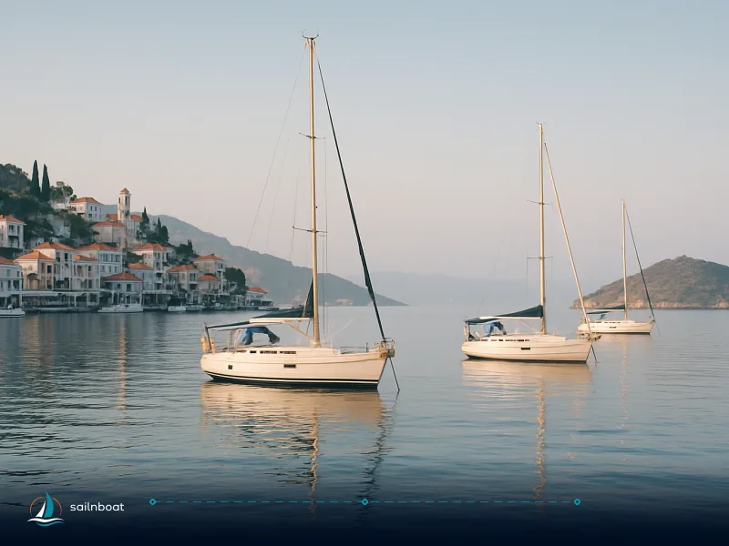
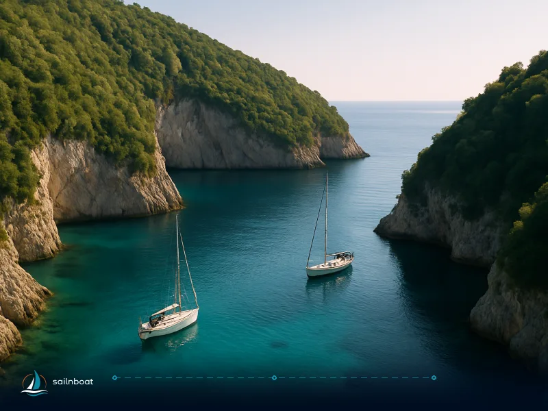
Best Anchorages in the Dodecanese Islands for Sailors
A practical guide to the best Dodecanese islands anchorages with GPS coordinates, depth ranges, bottom type, wind exposure and onshore facilities — everything a skipper needs to choose where to stop.

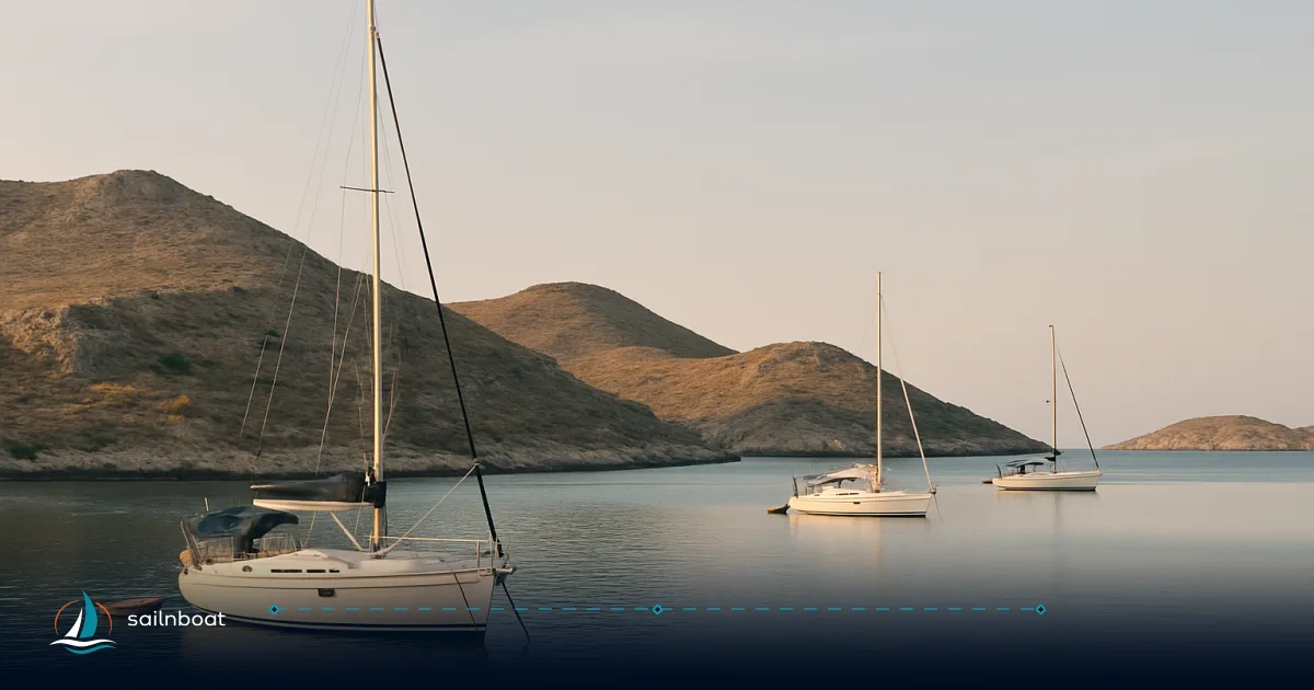
The Dodecanese islands anchorages give you a simple choice: pick small, lee-protected coves for July–August meltemi, or expect to use deeper, more exposed bays and marina berths outside the meltemi season. This guide lists the anchorages that work for practical cruising, supplies GPS coordinates, depth ranges (metres), bottom type, holding quality, exposure and onshore facilities so you can decide where to stop and why — fast.
Top Anchorages in the Dodecanese Islands
Below are the anchorages you will use most often on a Dodecanese cruise. Each entry gives the GPS, typical depth range, bottom type, holding, wind protection/exposure and onshore facilities.
Patmos — Grikos (and Skala)
- GPS: Grikos 37°18.3′N, 26°33.8′E; Skala (main port) ~37.3208°N, 26.5464°E.
- Depth: Grikos ~4–8 m (shelved anchoring zone); Skala harbour 6–12 m at usual anchorage line.
- Bottom: sand with rocky patches and Posidonia fringe — pick the central sandy patches.
- Holding: Fair to good where sand; mixed where rock appears — snorkel to verify the set.
- Protection: Good lee from N/NW when Tragonisi islet gives shelter; exposed to S/SE/E.
- Facilities: Several tavernas ashore at Grikos; fuel, water and formal check-in services at Skala (3–4 nm).
Kalymnos — Vathy (Port Rina / Porto Vathý)
- GPS: Vathy (Port Rina) — dramatic fjord bay on east coast (see local pilot charts for precise approach).
- Depth: Generally ranges from shallow near the head to deeper water at entrance; safe anchor positions typically in the 6–20 m band depending on exact spot.
- Bottom: Predominantly sand and mud — reliable holding where sand/mud present.
- Holding: Good when you find the sandy patches; cliffs give obvious lee but watch for rock-ledges.
- Protection: Very sheltered from N/NW meltemi when inside the fjord; exposed to local channelling effects and easterlies on some approaches.
- Facilities: Limited water/fuel inside the small bays; Pothia (main town) and nearby marinas supply fuel and provisioning.
Leros — Lakki (Porto Lago) & Pandeli
- GPS: Lakki harbour region ~37°07.8′N, 26°50.9′E (Lakki/Leros marinas).
- Depth: Bay head and inner anchorages are shallow (typically 2–11 m inside marinas); outer parts are deeper — anchor in shallower protected zones as available.
- Bottom: Mostly mud and sand — good holding in marked sandy/muddy areas; rocky patches exist near some shorelines.
- Holding: Generally good; Lakki is regarded as a secure bay for most wind directions in the Dodecanese.
- Protection: Good shelter from most directions, especially northerlies; some exposure possible in strong SW winds in specific sectors.
- Facilities: Full provisioning, fuel and formal marinas at Lakki; town quay moorings and some tourist moorings.
Symi — Pedi, Nanou and Panormitis
- GPS: Pedi/Symi harbour approx 36.6172°N, 27.8389°E; Pedi Bay ~36.5944°N, 27.8533°E (Pedi/Marina area).
- Depth: Pedi and Gialos harbours 8–15 m; Nanou and smaller bays commonly 4–16 m; cliff amphitheatres can be very deep close to cliffs.
- Bottom: Predominantly sand and gravel near small beaches; deeper amphitheatres drop quickly to rock.
- Holding: Good in sandy shelves; take care near vertical cliffs where depth increases rapidly.
- Protection: Well sheltered from NW meltemi in many inshore bays; exposed to easterlies.
- Facilities: New Marina Symi (Pedi) offers berths; tavernas in Gialos and Panormitis. Fuel limited — plan accordingly.
Kos — Kamari / Agios Stefanos (Kefalos)
- GPS: Kefalos/Agios Stefanos area ~36.7441°N, 26.9599°E (Kefalos peninsula).
- Depth: Shelving bay depth suitable for anchoring in 4–12 m near shore; reefs/islets exist — maintain a careful approach.
- Bottom: Clean sand in many spots — reliable holding where sand is present.
- Holding: Good in sand; beware fringing reef around Kastri islet and shallows near beach.
- Protection: Kefalos bay gives solid shelter from NW meltemi and afternoon sea; exposed to strong easterlies.
- Facilities: Taverns and beach services ashore; fuel and full provisioning in Kos Town rather than Kefalos village.
Rhodes — Lindos (St Paul's Bay & NW sector)
- GPS: Lindos bay ~36°05.5′N, 28°05.3′E.
- Depth: NW sector 4–8 m (anchor here for best shelter); St Paul’s Bay shallow 2–4 m for shoal-draft boats.
- Bottom: Sand with rocky ledges near edges — anchor over clean sand patches.
- Holding: Good in sand; gusts from the Acropolis headland can be violent — use alarm and extra scope.
- Protection: Good lee from NW/W; exposed to E/SE swell.
- Facilities: Numerous tavernas and limited water; no fuel at the beach — Rhodes Town for major services.
Lipsi — Main harbour and Lira/Limni coves
- GPS: Lipsi harbour ~37°17.7′N, 26°45.5′E.
- Depth: Harbour inlet 4–6 m; Lira/Limni coves 5–8 m.
- Bottom: Mud and sand in the harbour; sand in nearby coves.
- Holding: Good on sand/mud; watch Meltemi acceleration through the inlet — lay extra scope.
- Facilities: Fresh water and tavernas in the village; no fuel — nearest fuel at larger ports.
Tilos — Livadia
- GPS: Livadia (Tilos) ~36°25.0′N, 27°23.2′E.
- Depth: 4–8 m over clean sand where most yachts anchor; mooring buoys often available.
- Bottom: Clean sand — good holding.
- Holding: Good; mooring buoys for stern-to alongside the quay commonly used.
- Facilities: Water, tavernas and limited provisioning; no routine fuel service — plan fuel before crossing from bigger ports.
Nisyros — Mandraki & Pali
- GPS: Mandraki ~36°36′50″N, 27°08′22″E; Pali ~36°37′9″N, 27°10′15″E.
- Depth: Mandraki is deeper and handles ferries; Pali is shallower with minimum draughts often listed ~2.2–3 m — watch dredging status.
- Bottom: Varied — sand and gravel in sheltered pockets; check local soundings.
- Holding: Good in the small, sheltered harbour of Pali; Mandraki used as main port for provisioning and fuel.
- Facilities: Mandraki provides fuel and town services; Pali has tavernas and a well-used small marina/harbour for visiting yachts.
Comparative anchorages at a glance
| Anchorage | GPS (approx) | Depth (m) | Bottom | Holding | Shelter from (meltemi) | Facilities |
|---|---|---|---|---|---|---|
| Grikos (Patmos) | 37°18.3′N 26°33.8′E | 4–8 | Sand/rock | Fair–Good | N/NW lee available | Taverns ashore; fuel at Skala. |
| Vathy (Kalymnos) | fjord bay (Port Rina) | 6–20 (varies) | Sand/mud | Good | Excellent from N/NW | Limited; Pothia for fuel. |
| Lakki (Leros) | 37°07.8′N 26°50.9′E | 2–46 (inner→outer, varies) | Mud/sand | Good | Good shelter (some SW exposure) | Full marina, fuel, water. |
| Pedi / Nanou (Symi) | 36.59–36.62°N 27.85–27.84°E | 4–20 | Sand/pebble/rock | Good | Sheltered from NW | Marina (Pedi), tavernas; limited fuel. |
| Kamari / Agios Stefanos (Kos) | 36.744°N 26.960°E | 4–12 | Sand | Good | Sheltered from NW | Taverns; fuel at Kos town. |
| Lindos (Rhodes) | 36°05.5′N 28°05.3′E | 2–8 | Sand/rock | Good | NW lee best; exposed E/SE | Lots of tavernas; fuel in Rhodes town. |
| Lipsi harbour / Lira | 37°17.7′N 26°45.5′E | 4–8 | Mud/sand | Good | Harbour lee vs coves for extra shelter | Water, tavernas; no fuel. |
| Livadia (Tilos) | 36°25.0′N 27°23.2′E | 4–8 | Sand | Good | Sheltered from NW | Water, tavernas; no routine fuel. |
| Mandraki / Pali (Nisyros) | 36°36′50″N 27°08′22″E | 2–6 (Pali shallow) | Sand/gravel | Good | Pali offers local lee | Mandraki for fuel & services. |
Anchorage depths and bottom types — practical rules
- Expect sheltered coves to give 4–8 m anchoring depths; amphitheatre bays and cliff-edged anchorages commonly drop to 10–20 m close to shore. Use your sounder; charts and local pilot notes are essential.
- Bottom types in the Dodecanese are mostly sand, mud or mixed sand/rock. Sand and mud give the best holding; mixed sand over rock is common around islands and needs a snorkel check.
Facilities at anchorages — what to expect
- Major provisioning, reliable fuel and formal clearances are concentrated at main ports (Skala Patmos, Pothia/Kalymnos area, Lakki Leros, Mandraki Nisyros, Kos Town, Rhodes). Smaller islands often have only tavernas, water and occasional mooring buoys. Plan fuel and heavy reprovisioning at the larger ports.
Regulations and fees for anchoring
- Transit log (DEKPA): foreign leisure yachts over ~7 m must submit the Greek transit log when entering Greek territorial waters. This is a paperwork step at check-in with Port Authorities.
- TEPAI: a recreational vessel fee (TEPAI) applies to leisure vessels above a certain length operating in Greek waters; the fee and digital payment processes are handled through the Greek tax authority portals. Expect to pay this during your stay.
- Anchoring itself is generally free, but local harbour fees or mooring charges can apply where buoys or quays are administered. Protected-area rules or seasonal closures may ban anchoring in marked zones.
Weather patterns and the meltemi — sailing windows
- The meltemi (Etesian) is the dominant summer wind: most commonly late May through September, strongest July–August and typically northerly to northwesterly, building in the late morning and easing after sunset. Plan to use fully sheltered bays or marinas in peak months.
- Best general windows: May–June and September–October for lighter winds and fewer crowds; July–August is fine if you choose lee anchorages and accept midday gusts.
Safety tips for anchoring in the Dodecanese
- Anchor alarms: always set a GPS anchor alarm with a conservative radius (many sheltered bays recommend 50–80 m depending on swing and depth). Monitor through the night.
- Snorkel the anchor: in mixed sand/rock bottoms, physically check your anchor is buried in sand — many local guides recommend this routinely.
- Avoid Posidonia meadows: Posidonia oceanica is a protected habitat across Greece; anchoring on meadows is illegal and increasingly enforced — anchor over sand only or use established moorings. Use up-to-date charts and local harbourmaster advice to avoid meadows.
- Watch for katabatic gusts: cliffs and headlands (Lindos, parts of Symi, some bays on Serifos) produce sudden gusts; if you intend to overnight, choose bays with proven lee and test your set under power before bedtime.
- Two-anchor tactics: in exposed anchorages during meltemi or when gusts are possible, consider a second anchor or stern lines ashore where rings exist — but only where shore lines are permitted by local authorities.
Plan your provisioning and paperwork before you cross between groups of islands, prioritise lee anchorages in July–August, and use charts + community anchorage notes to avoid Posidonia. The anchorages above are repeatedly used by charter skippers because they balance shelter, holding and shore facilities — they are the practical stops you will come back to on a Dodecanese passage.
Plan your trip — and if you want, we can assemble a 7–10 day route that chains the best anchorages for the prevailing wind window you’ll be sailing in.
Frequently Asked Questions
Top picks include Grikos (Patmos), Vathy/Port Rina (Kalymnos), Lakki (Leros), Pedi/Nanou (Symi), Kamari/Agios Stefanos (Kos), Lindos (Rhodes), Lipsi harbour or Lira coves (Lipsi), Livadia (Tilos) and Mandraki or Pali (Nisyros), each chosen for shelter, holding and access to provisions.
Typical depths range 4–20 m depending on the bay; common bottoms are sand, mud and mixed sand/rock. sheltered coves often have 4–8 m on sand; deeper amphitheatres can be 10–20 m near cliffs.
Major ports (Skala Patmos, Lakki Leros, Mandraki Nisyros) offer water, provisioning and fuel; many anchorages have tavernas ashore and occasional mooring buoys, but fuel and water are frequently only at main ports.
Foreign yachts over ~7 m must submit a DEKPA transit log and TEPAI (recreational vessel fee) applies; anchoring itself is usually free but local harbour or mooring fees, and protected-area rules (Posidonia) may restrict anchoring.
Spring (May–June) and early autumn (September–October) give the best balance of mild winds, warm water and fewer crowds; the meltemi peaks in July–August and often forces sailors to use lee anchorages or marinas.
Use adequate scope (typically 5:1–7:1 in exposed bays), check depth and bottom by sounder and snorkel, set an anchor alarm, avoid Posidonia meadows and keep an escape route for easterly winds.
Written by
Sailnboat Editorial
The Sailnboat editorial desk covers yacht and boat chartering worldwide — routes, bases, seasons, boat types, paperwork and the practical costs that decide a trip. We are a charter marketplace, not a boat owner or a local agency: what we sell is judgement and support, so our guides are written to help you make a decision, not to sell you a specific boat. Every guide is checked against live operator and marina data before it goes out.
Fact-checked against live operator and marina data, and published under our editorial standards. Last reviewed: .