Best Seychelles Anchorages for Charterers: Your Guide
A practical, route-ready list of the best Seychelles anchorages for charterers, with GPS coordinates, depth ranges, dinghy access and park/mooring notes for Mahé, Praslin and La Digue.

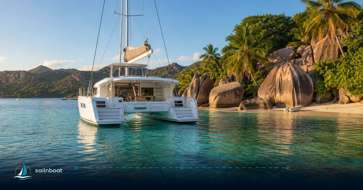
These seychelles anchorages—Sainte Anne Marine Park and Baie Ternay (Mahé), Baie Sainte Anne and Anse Lazio (Praslin), and Anse Source d’Argent and Anse Cocos (La Digue)—are the practical places charterers choose for sheltered overnight stays, short dinghy runs to beaches and reliable snorkelling close to the boat.
Top Anchorages in Mahé Island
Mahé supplies the main charter bases and the closest, most reliable anchorages for the start and finish of a charter. Two anchorages stand out for charterers: Anse Major for a quiet cove stop and Baie Ternay for a sheltered marine‑park overnight.
Anse Major
- GPS: approx. 4°37.6′ S, 55°23.1′ E (decimal ~ -4.6264, 55.3855).
- Depth & seabed: typically shallow-to-moderate water in the cove—commonly reported around 5–10 m on approach with sandy patches close to shore; seabed mixes sand and granite outcrops. Arrive in daylight to identify sand patches.
- Protection: good refuge from north‑east to east winds (useful in the NW monsoon window); exposed to a long swell from the open north. Local swell building in the afternoon can make beach landings uncomfortable.
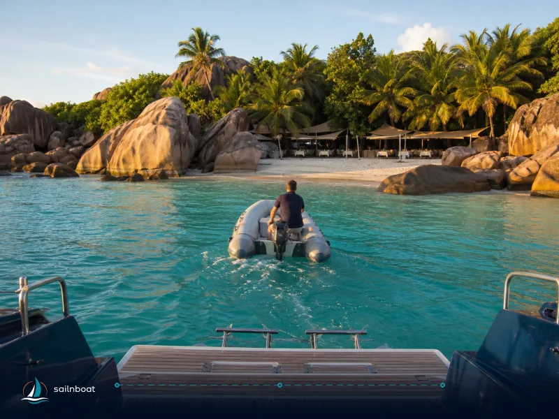
- Dinghy access: short, sandy landing on the western corner of the beach; tie the dinghy clear of the main bathing area and watch the shore break. Accessible by a 5–10 minute dinghy run from a properly set anchor.
- Overnight: commonly used for day stops and short overnight stays in settled conditions; no formal park moorings here—anchor on sand patches where allowed and give wide swing room.
Baie Ternay Marine Park
- GPS (central bay): approx. 4°38′ S, 55°22′ E (decimal ~ -4.64, 55.372). Official park information and maps are published by SPGA.
- Depth & seabed: shallow reef and sand slopes—snorkel reefs start a few metres deep and slopes commonly reach 15–20 m beyond the fringing reef; many documented dive sites extend to ~16 m. Expect 3–16 m on the reef slope and sand patches for anchoring.
- Protection: one of Mahé’s best natural refuges from the south‑east trades (May–September). Sheltered by headland topography and good holding in sand patches.
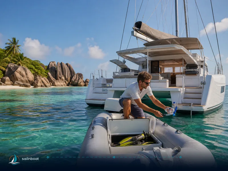
- Dinghy access & snorkelling: no road access to much of the park; shore access is limited so dinghy or guided landing is normal—excellent snorkelling directly off the boat and at shallow fore‑reef areas.
- Moorings & overnight: SPGA installs and maintains mooring buoys in this area; overnight mooring in SPGA parks is charged per vessel (see regulations & fees section). Use buoys in the demarcated zones rather than anchoring on coral or seagrass.
Praslin Island Anchorages
Praslin acts as the standard mid-point between Mahé and La Digue. It has both visitor berths and sandy anchorages that are easy for dinghy runs to shops and the Vallée de Mai.
Baie Sainte Anne (Praslin)
- GPS (marina/harbour area): commonly quoted as 4°20.800′ S, 55°45.909′ E (Dream Yacht base reference for the harbour area). Map indexes and district coordinates vary slightly around this point.
- Depth & seabed: marina/visitor berths reported in the 2.5–4 m range at berths; outside the marina the bay deepens and holding is sand/mud in the fairway. If you plan to overnight on a visitor berth check the berth depth against your vessel draft.
- Protection: east side of Praslin gives shelter in the north‑west monsoon; the bay is generally calm year‑round relative to open crossings.
- Dinghy access: direct dinghy tie‑ups are available near the ferry jetty and marina; shops, restaurants and provisioning are within a short dinghy run or walk.
- Moorings & overnight: the harbour has visitor berths and a marina—reserve in high season as spaces are limited; alternative is to take a park buoy or anchor off nearby beaches. Berth charges are separate from SPGA park/ mooring fees.
Anse Lazio
- GPS: approx. 4°17′37″ S, 55°42′06″ E (decimal ~ -4.29361, 55.70167).
- Depth & seabed: commonly reported anchoring depth off the north (Chevalier) end ~5–10 m over sand; depth can fall away quickly near the rocky ends—approach with caution and anchor in the central sandy corridor.
- Protection: offers good shelter from the south‑east trades when the swell is from the east; exposed to strong NW winds and swell when the NW monsoon is in force. Plan overnighting according to seasonal wind direction.
- Dinghy access & snorkeling: easy beach landing at the centre of the bay; best snorkeling is around the granite outcrops at each end of the bay rather than the central bathing zone. Supervise children—the shore break can be lively.
- Moorings & overnight: marine‑park moorings are not present at Anse Lazio—anchoring on sand is usual and overnight anchoring is commonly accepted in calm conditions, but check local notices (and avoid coral & seagrass).
La Digue Island Anchorages
La Digue is compact and shallow; anchorages offer easy shore access to beaches and classic La Digue activities (bikes, Union Estate, granite beaches).
Anse Source d'Argent
- GPS: approx. 4°22′18″ S, 55°49′38″ E (decimal ~ -4.3717, 55.8272).
- Depth & seabed: very shallow close to shore (2–5 m in the nearshore sand/rock zone) with granite boulders and reef patches; anchoring is possible off the outer sand channel but require careful approach and daylight to pick a sand patch.
- Protection: the bay faces west‑southwest and can be exposed to NW swell—best visited in calm conditions or during the NW‑monsoon windows that keep the east side calmer.
- Dinghy access & snorkeling: beach landing is straightforward in calm weather (but the site is often busy with day visitors); snorkeling is better at the edges and in nearby quieter coves. Overnight anchoring immediately off the main beach is limited by shore activity and shallow water—consider nearby quieter bays if you want an overnight stop.
Anse Cocos
- GPS: approx. 4°22.0′ S, 55°51.1′ E (decimal ~ -4.3669, 55.8515).
- Depth & seabed: shallow in the inner bay (circa 3–6 m where used by boats) with sand and rock. Exact depths are variable—anchor in sand patches well offshore of the reef and pick a spot in daylight.
- Protection: sheltered from north‑west winds; exposed in strong south‑east trades—this makes it a good night option when the NW monsoon is blowing (Nov–Mar), less so in SE trade season.
- Dinghy access & snorkeling: good landing and quiet beach paths connect to Grand Anse and other viewpoints; snorkeling close to the headlands is recommended. Overnighting here is a common charterer choice in suitable wind conditions.
Snorkeling Opportunities at Anchorages
Seychelles anchorages are chosen as much for the water as the shore. Below are the prime sites that work well directly from a dinghy or anchored boat.
- Baie Ternay Marine Park (Mahé): fringing reefs and protected slopes—snorkel starting in shallow reef (a few metres) into slopes to ~16 m; abundant reef life and good visibility in calm weather.
- Sainte Anne Marine Park (Eden Island vicinity): easily accessible from Mahé with visitor moorings and immediate snorkel areas around Moyenne and nearby islets. Park entry applies.
- Curieuse / St Pierre (off Praslin): well‑documented snorkelling with mooring buoys protecting reefs; St Pierre islet is a frequent snorkel stop on charter routes. Curieuse also offers a turtle feeding area and guided shore walks. Park/landing fees apply.
- Anse Lazio (Praslin): best snorkelling near the rocky ends where granite meets reef; visibility and fish life are good on calm days.
Plan snorkel outings in the morning for calmer water and better visibility, and always use a buddy and surface marker buoy when swimming from anchor.
Seasonal Considerations for Anchoring
Understanding the monsoons and shoulder windows is the single biggest operational choice you’ll make for where to anchor and when.
- SE trade winds (May–September): steady south‑east winds (often 10–20+ knots) favour anchorages on the north‑west and west coasts of Mahé and Praslin (Baie Ternay, Anse Major, Baie Laraie/Curieuse). Exposed east/south‑east coves get uncomfortable afternoon chop.
- NW monsoon (November–March): lighter, variable north‑west conditions—north and west bays can be exposed; east and south‑east anchorages become more attractive (Baie Sainte Anne, some La Digue east bays).
- Shoulder seasons (April–May, Oct–Nov): the best compromise—light winds, calm seas and excellent underwater visibility; most anchorages are accessible and comfortable. Charter companies frequently recommend these windows.
- Practical rule: plan daytime crossings between islands; avoid reef passages at night; arrive before the afternoon seabreeze builds when the trades are active.
Local Regulations and Fees
This is a decision-grade summary of what you will encounter at handover and on the water.
- Who manages the parks and buoys: the Seychelles Parks & Gardens Authority (SPGA / sometimes referenced as SNPA or SPGA) manages marine parks and marked mooring areas; rangers enforce park rules and collect entrance/overnight fees.
- Park entry fees (typical non‑resident rates): common SPGA published rates are SCR 200 per adult for Sainte Anne, Baie Ternay and Port Launay; Curieuse typically SCR 300 per adult. Fees are charged per person and are collected by park staff or via the SPGA payment portal. Card payments are commonly required at park offices.
- Overnight mooring buoys in SPGA parks: SPGA and operators report an overnight vessel mooring charge of SCR 250 per vessel per night (applies when a vessel is inside park boundaries between 17:00 and 08:00). This is a per‑vessel charge, distinct from the per‑person park entry fee.
- Marina & berth fees: marinas (Eden Island on Mahé, Baie Sainte Anne / Praslin visitor berths) have separate berth rates and services (shore power, water, pump‑out). Expect berth depths to be shallower on Praslin (visitor berths reported ~2.5–4 m), so confirm before committing.
- Payment & practicalities: many park offices accept cards and require payment on arrival; some operators advise paying online or bringing a card because some park kiosks do not accept cash. Mooring buoy numbers are limited—arrive early in high season or plan alternative protected anchorages.
- Enforcement & safety: anchoring on coral or seagrass inside protected zones is restricted and rangers will direct vessels to buoys; violations can lead to fines or orders to move. For broader maritime safety questions (reporting, port entry, emergency contacts) use the Seychelles coastguard/ maritime authorities and your charter operator’s on-call support.
Quick comparison table: at-a-glance (Mahé → Praslin → La Digue)
| Anchorage | GPS (approx.) | Depth range (m) | Seabed | Mooring buoys | Best sheltered in |
|---|---|---|---|---|---|
| Anse Major (Mahé) | -4.6264, 55.3855. | 5–10 (typical) | Sand & granite | No formal park buoys | NE/E winds (shelter from NW swell) |
| Baie Ternay (Mahé, SPGA) | -4.64, 55.372. | ~3–16 on reef slopes; sand patches for mooring. | Coral, sand, seagrass | Yes (SPGA) — overnight buoy charge applies. | SE trades (sheltered) |
| Baie Sainte Anne (Praslin) | 4°20.800′S, 55°45.909′E (harbour). | Marina berths ~2.5–4.0 (at berths) | Sand/mud in bay | Marina & visitor berths; park buoys nearby at islands | East/sheltered in NW monsoon |
| Anse Lazio (Praslin) | -4.29361, 55.70167. | 5–10 (near anchorable sand) | Sand with rocky ends | No SPGA buoys in main bay | Calm in SE trades; exposed to NW swell |
| Anse Source d'Argent (La Digue) | -4.3717, 55.8272. | 2–5 (nearshore) | Sand, rock, boulder | No formal park buoys; shallow | Best in calm/shoulder seasons |
| Anse Cocos (La Digue) | -4.3669, 55.8515. | ~3–6 (typical shelter) | Sand & rock | No formal park buoys | Sheltered from NW winds |
Practical checklist for dropping the hook or taking a buoy
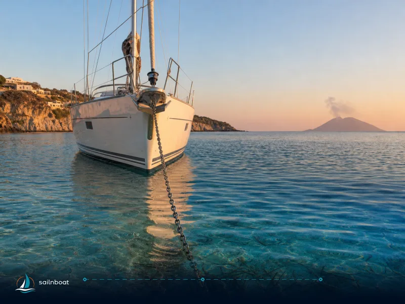
- Approach in daylight, check chart and echo‑sound for sand patches and reef edges; let out 4× scope in calm conditions and more if wind increases. Use a stern anchor or snubber where appropriate.
- If in an SPGA park, take the designated buoy where present—buoy fields are placed to protect coral and seagrass and are enforced by park rangers. Have the card or payment method ready for park/overnight fees.
- Dinghy landings: prefer sheltered beach corners and publicly designated dinghy jetties; tie clear of swimmers and avoid driving over shallow coral. Bring a lanyard for outboard kill‑switch and always secure the dinghy at low tide.
- If you need assistance: contact your charter operator and the harbour master or coastguard; they are the operational contacts for moorings, medical evacuation and enforcement queries.
Plan your itinerary so the longer inter‑island crossings are made in the calm morning window, give yourself alternative anchorages for sudden wind shifts, and budget for SPGA park entry and overnight moorings (SCR 200–300 per person for day entry; SCR 250 per vessel per night for moorings is the common published rate).
Frequently Asked Questions
Sainte Anne Marine Park and Baie Ternay on Mahé; Baie Sainte Anne and Anse Lazio on Praslin; Anse Source d'Argent and Anse Cocos on La Digue are the most practical choices for charterers, balancing shelter, dinghy access and snorkeling.
Typical depth ranges: sheltered bays and marine-park moorings 2–12 m; dive slopes and outer reefs 10–20 m; marina berths at Praslin are shallower (circa 2.5–4 m at visitor berths).
Yes—SPGA maintains mooring buoys in several marine parks (Sainte Anne, Baie Ternay, Curieuse and selected islets); availability is limited and overnight buoy use is charged per vessel.
Marine park entrance fees are charged per person (commonly ~SCR 200–300 for non‑residents) and overnight mooring is typically SCR 250 per vessel per night; marinas charge berthing fees separately.
Baie Ternay, Sainte Anne Marine Park, Curieuse (St Pierre islet and surrounding reefs), and the rocky ends of Anse Lazio offer the richest snorkeling directly from a boat or dinghy.
Marine parks managed by SPGA restrict anchoring on coral and seagrass—use designated park buoys where provided, pay entrance/overnight fees and follow ranger instructions.
Written by
Sailnboat Editorial
The Sailnboat editorial desk covers yacht and boat chartering worldwide — routes, bases, seasons, boat types, paperwork and the practical costs that decide a trip. We are a charter marketplace, not a boat owner or a local agency: what we sell is judgement and support, so our guides are written to help you make a decision, not to sell you a specific boat. Every guide is checked against live operator and marina data before it goes out.
Fact-checked against live operator and marina data, and published under our editorial standards. Last reviewed: .