Exploring the Datça Peninsula: A Complete Yacht Charter Guide
A practical, decision-ready guide to planning a yacht charter along Turkey’s Datça Peninsula: best months, marinas, anchorages, wind patterns and licence essentials.

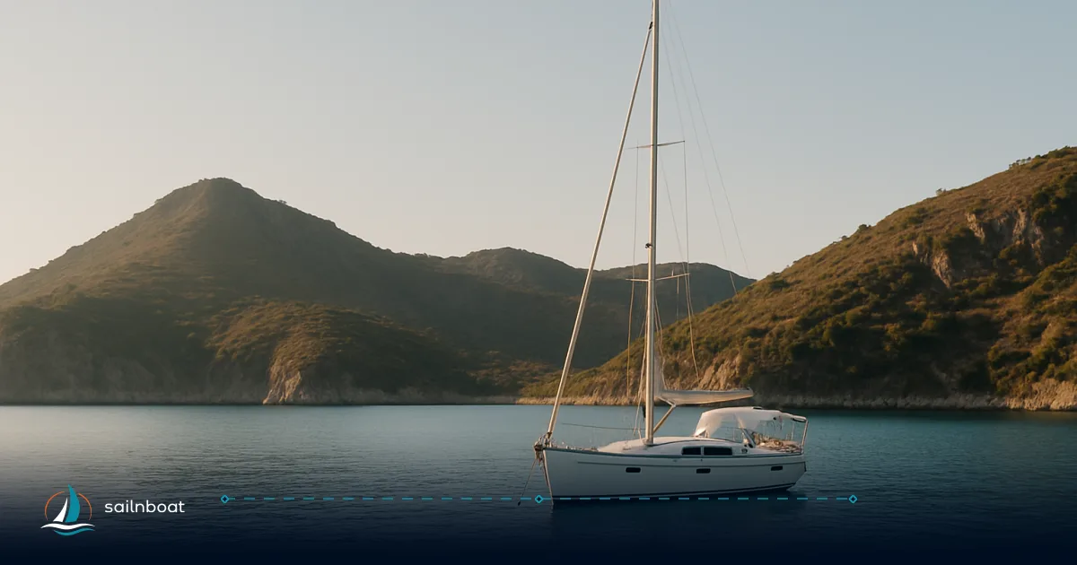
The Datça Peninsula is best sailed between May and October: quieter spring/early summer and calm autumn weeks bracket the busy, windier July–August period when the Meltemi peaks. If you’re planning a yacht charter Datca, expect short protected hops between pine-backed coves, one or two longer reposition legs to Bodrum/Marmaris, and a charter desk that will check your skipper credentials and VHF certificate at handover.
Optimal Sailing Seasons and Weather Conditions
A decision you must make first is timing: weather and winds determine what parts of the peninsula are sensible to cruise and what anchorages will be comfortable.
Best Months for Sailing
- Typical season: May–October. May–June and September–October offer warm water, lighter crowds and gentler winds; July–August are high season for tourists and for strong Meltemi gusts, so prices and marina demand rise.
Weather Patterns
- Air and sea temperatures: daytime highs on the peninsula commonly reach low 30s °C in July–August; sea temperatures typically sit mid-20s °C at the height of summer (about 24–27°C). Expect comfortable swimming through September.
- Wind pattern: the Meltemi (Etesian) brings a persistent northerly/north-easterly flow from late spring into early autumn, with the strongest, most persistent events in July–August and a tendency to build in the afternoon. That means many desirable anchorages are best early or very late in the day when winds are softer.
Practical tip: plan exposed passages (or long reposition legs) for early morning departures before the daytime breeze builds; keep a sheltered alternative in your mind for evenings when the Meltemi freshens.
Primary Departure Points and Marina Facilities
Choose your base by the kind of trip you want, how much provisioning or technical support you expect, and crew transfer logistics.
Departure Points
- Bodrum and Marmaris are the primary international gateways for charters that include the Datça Peninsula. Both have sizeable marina infrastructure, international airport transfers (Milas–Bodrum, Dalaman close to Marmaris) and frequent ferry/taxi links to Datça. Typical open-water reposition legs from these hubs to Datça range from roughly 40–50 nautical miles depending on exact start and finish piers/harbours; shorter ferry routings may be quoted differently.
Quick reference (approximate):
- Bodrum → Datça: commonly quoted in public routing tables as ~40–50 NM depending on route.
- Marmaris → Datça: commonly given around 45–50 NM as a longer coastal passage.
Marina Facilities
Datça’s marina picture is compact but serviceable; larger technical facilities are concentrated in the principal harbour at Körmen (often listed as Kairos/Cairos Marina).
| Marina / Harbour | Location | Scale & lifting | Key services |
|---|---|---|---|
| Kairos (Körmen) Marina, Datça | Körmen harbour (north side) | ~240–275 berths; travel lift reported 70–100 t (yard and hardstanding present). | Fuel deliveries, electricity, water, showers, laundry, restaurant, ferry link to Bodrum; VHF 72 reported. |
| Datça town harbour | Datça town waterfront | Small town harbour (local berthing) | Shore restaurants, provisioning, limited technical services; useful for a first/last night ashore. |
| Bodrum / Marmaris marinas (gateway) | Bodrum & Marmaris | Large marina networks (Milta Bodrum, D‑Marin Turgutreis, Marmaris marinas) | Full provisioning, chandleries, fuel, refit yards and international crew transfer options. |
Booking advice: if you require a large berth or travel-lift work in season, book the Kairos/Datça berth and any yard slots at least several weeks in advance. Smaller coves (Palamutbükü, Aktur) have only visitor piers or anchor-only options.
Notable Anchorages and Destinations
The Datça coast is a string of sheltered coves and a few exposed headlands; each stop is a different operational choice — services, holding and exposure vary.
Top Anchorages
- Knidos (Deveboynu): sits at the western tip of the peninsula with immediate access to ancient ruins and two sheltered inner harbours. Anchoring is concentrated inside the ancient harbour area; avoid anchoring outside the breakwaters. Expect the site to be busy in high season as many weekly gulet runs stop here.
- Palamutbükü: a long beach village with good shore tavernas, reliable provisioning options and reportedly sound holding. Depths and bottom type should be confirmed locally. It’s a popular overnight stop and good for re-provisioning.
- Kargı Bay (Kargı Koyu): quieter, attractive for an overnight anchor and for smaller day visits; limited shore facilities but good swim stops.
- Aktur (Aktur/Kovanlık Koyu): a beach-site with Blue Flag listings and beach facilities — pleasant daytime stop and possible anchorage close to shore; more resort infrastructure than some inner coves.
- İnceburun / İnce Burnu: a cool, exposed cove and lighthouse point near the peninsula tip; some sources note sand bottom and deeper water close in — suitable as a refuge on calm days but check charts and pick your berth carefully.
Operational notes:
- Holding and depth: many Datça coves are reported to offer sandy bottoms and reliable holding, but depth ranges and bottom type vary — use your depth sounder, a trip line and local pilot notes. For Knidos and other heritage harbours, anchor only where local guidance permits.
- Shore services: Palamutbükü and Datça town have restaurants and small supermarkets; fuel and significant technical services are concentrated at Kairos and larger hubs (Bodrum/Marmaris). Plan provisioning before heading west of Datça if you need specialist spares or large fuel bunkers.
Practical Considerations: Winds, Distances, and Licensing Requirements
This section covers the everyday decisions that make a Datça cruise comfortable and safe.
Prevailing Winds
- Expect the Meltemi / Etesian northerlies from late May through September; intensity and duration peak in July–August and typically build during the afternoon hours. Some days the meltemi persists for several consecutive days, producing 20–30+ knot gusts in exposed channels — plan anchorages and passages with that pattern in mind.
Tactical tip: if you want calmer sailing and fewer weather-driven itinerary changes, aim for May–early June or late September–October.
Distances and Navigation
- Typical inshore legs between neighbouring bays on the Datça coast are often short; many hops are under 15 NM, but check charts for precise distances. Longer reposition legs from a major base are the outliers: Bodrum→Datça and Marmaris→Datça are commonly quoted in the 40–50 NM range depending on exact piers and the coastal track you choose. Use up‑to‑date nautical charts and keep an eye on weather models for meltemi episodes on these longer passages.
Sample day-plan math (conservative):
- Early-morning departure (0680 engine rpm, average 7–8 kn): a 20 NM leg to Knidos takes ~2.5–3 hours; leave early to avoid afternoon gusts and to arrive with options. Adjust for true cruising speed for your yacht type (catamarans commonly cruise 8–10 kn; monohulls typically 6–8 kn).
Licensing Requirements
- In practice, most Turkish charter companies expect to see a recognised skipper certificate; the International Certificate of Competence (ICC) or equivalents (IYT, RYA qualifications, ASA with an ICC) are widely accepted and often requested at check‑in. Many operators also require a VHF radio certificate (Short Range Certificate / SRC) for one person aboard. Rules vary by company and by the vessel size/type — always confirm exact paperwork with the charter company at booking.
How to prepare:
- Bring original certificates, a short sailing résumé (past charter/skipper experience) and passport copies; carry a VHF SRC or equivalent. If you don’t hold an accepted qualification, most operators offer a skipper-for-hire option or may require a practical check-out.
Safety & compliance note: legal requirements and charter-company policies can evolve — treat this as the industry norm and verify specific paperwork with your broker and the charter base before travel.
Route-planning sample (4–7 day loop)
This short table helps visualise a compact Datça-focused loop that avoids long exposed legs in the height of the Meltemi.
| Day | Leg | NM (approx.) | Why this works |
|---|---|---|---|
| 1 | Embark Bodrum or Marmaris → Datça town / Kairos | 40–50 NM | Early start; land provisioning & last-minute checks. |
| 2 | Datça → Palamutbükü | 10–15 NM | Short hop, good services and anchor options. |
| 3 | Palamutbükü → Kargı Bay → Aktur | 6–12 NM total | Series of short, sheltered stops for swimming and tavernas. |
| 4 | Aktur → Knidos (tip) | 15–20 NM | Arrive early; visit ruins and sheltered inner harbour. |
| 5 | Knidos → İnceburun → Datça | 8–18 NM | Return with flexible stop at İnceburun; plan final provisioning in Datça. |
Totals depend on exact piers and detours; add fuel and ETA buffers for meltemi-influenced slower progress.
Final operational checklist for a successful yacht charter Datca
- Certificates: carry original skipper certificate (ICC/IYT/RYA/ASA as accepted) and at least one VHF/SRC holder.
- Provisioning: stock up in Bodrum/Marmaris or Datça town before pushing west; small coves have limited shops.
- Weather: download at least two forecast sources and check the Aegean Meltemi outlook for July–August windows; plan early-morning passages.
- Berths and yard work: if you need travel-lift work or a large berth in Datça, reserve Kairos Marina well ahead in high season.
- Anchoring: bring adequate ground tackle, a trip line and a buddy watch when selecting lifts in shallow sand/weed; respect ancient sites and local mooring rules (Knidos).
Start planning your Datça Peninsula yacht charter today — pick your season first, then lock in the base (Bodrum or Marmaris for full support; Kairos/Körmen for local Datça berthing), confirm paperwork with the charter company, and route the trip around daily Meltemi patterns so you spend more time in secure bays and less time battling afternoon northerlies.
Frequently Asked Questions
May–October is the practical season for yacht charter Datca, with warm water and reliable sailing; July–August are busiest and windiest (Meltemi peak).
Kairos (Körmen) Marina is Datça’s main marina with around 200–275 berths and travel-lift capacity (reported 70–100 t); Datça town harbour is much smaller. Book larger berths well ahead in high season.
The Aegean Meltemi (Etesian) blows from late spring to early autumn and peaks in July–August with the strongest, most persistent northerlies and regular afternoon gusts.
Many charter companies expect an ICC or an equivalent (RYA/IYT/ASA) and a VHF/SRC radio certificate; if you lack one, ask about a skipper or an evaluation at check-in.
Must-visits for yacht charter Datca include Knidos (ancient ruins), Palamutbükü (beaches and tavernas), Kargı Bay (quiet anchorage), Aktur (sheltered beach site) and İnceburun (cool cove near the lighthouse).
Written by
Sailnboat Editorial
The Sailnboat editorial desk covers yacht and boat chartering worldwide — routes, bases, seasons, boat types, paperwork and the practical costs that decide a trip. We are a charter marketplace, not a boat owner or a local agency: what we sell is judgement and support, so our guides are written to help you make a decision, not to sell you a specific boat. Every guide is checked against live operator and marina data before it goes out.
Fact-checked against live operator and marina data, and published under our editorial standards. Last reviewed: .