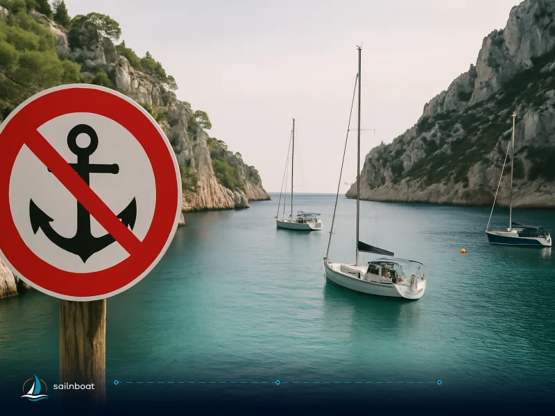
Guadeloupe Anchoring Rules: Where You Can Anchor — and Where You Can't
Practical, up-to-date guidance on where you may and may not anchor in Guadeloupe — with the rules for Les Saintes and the Grand Cul‑de‑Sac Marin, enforcement, and alternatives for charterers.

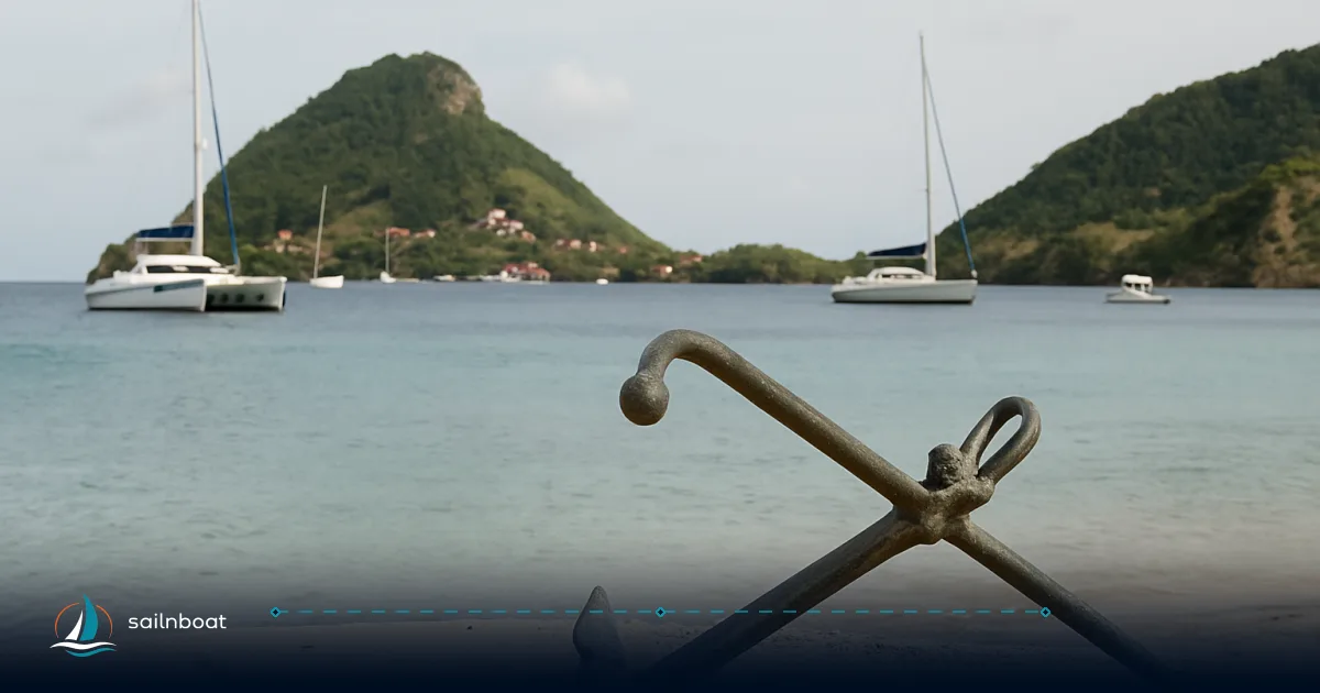
If you plan to anchor in Guadeloupe, the practical rule is simple: avoid anchoring in Parc national core zones, seagrass beds and marked bird‑protection islets — use authorised buoys or a marina instead. Guadeloupe anchoring rules are set by a mix of prefectoral arrêtés, the Direction de la Mer and the Parc national de la Guadeloupe; the park maintains mapped mouillage zones (Grand Cul‑de‑Sac Marin) and Les Saintes uses organised buoy fields that you must respect.
Overview of Anchoring Regulations in Guadeloupe
Brief decision you need: free anchoring is not universally allowed. The legal framework that affects where you can anchor is layered:
- National maritime and environmental law (Code de l’environnement, regulation of the domaine public maritime). Local prefectural arrêtés implement these rules in practice.
- The Parc national de la Guadeloupe manages “heart” marine areas (Grand Cul‑de‑Sac Marin, îlets Pigeon, etc.) where specific navigation and mouillage rules apply; some parts prohibit any anchoring except on authorised buoys.
- Municipal delegations (for example Les Saintes Multiservices) run organised buoy fields under a delegated contract; the municipal/park regimes set limits on vessel length, speed in the bay and maximum stay.
What typically triggers enforcement: entering a heart‑of‑park area without using the designated buoy, anchoring on mapped seagrass or approaching protected islets during nesting seasons — infractions are observed by park agents or maritime police and can lead to fines or administrative measures.
General Anchoring Rules
- Use authorised buoys where mapped. In Parc national cores (Grand Cul‑de‑Sac Marin and other marked zones) mouillage forain (unauthorised moorings or free anchoring on sensitive habitats) is prohibited; follow the cartography provided by the Parc.
- Avoid anchoring on seagrass, reefs and inside mangroves — these habitats are particularly sensitive and many are within protected or regulated areas. The scientific and management literature shows repeated, measurable damage where anchoring is allowed over seagrass.
- The 300‑metre littoral band is subject to special prefectoral measures (Arrêté n°2018‑116 and later local arrêtés) that regulate navigation, mouillage and many coastal activities; some municipalities set additional local rules inside that band.
Specific Anchoring Rules for Les Saintes
If you intend to overnight or stop in Les Saintes, treat the bay as a managed facility — you cannot assume free anchoring like a remote Caribbean cove.
Mooring Fields and Permitted Areas
- Management: The buoy fields in Terre‑de‑Haut (Les Saintes) are operated under a delegated service (Les Saintes Multiservices). The system is deliberate: buoys are placed on sand/fond à moindre enjeu environnemental and intended to relieve pressure on reefs and seagrass.
- Capacity and rules: The municipality and the delegate manage roughly 68–82 buoys (built up to about 80+ total in recent years), split across several zones around Terre‑de‑Haut; usage is reserved for pleasure and professional craft and there are limits on maximum vessel length per buoy category, speed limits inside the bay and usual short‑stay rules. Expect short maximum stays (a few nights typical) and seasonal differences in availability.
- Booking / practicalities: Les Saintes Multiservices operates a reception desk on shore and broadcasts practical information on VHF; you should approach on the local VHF channel and follow the instructions of the buoy manager. Tariffs are published by the operator and depend on boat length and season.
Practical note for charterers: buoys fill early in high season. If you want a night in Terre‑de‑Haut, make a plan: either reserve a buoy via Les Saintes Multiservices (where the service applies) or book a marina berth ashore well ahead; otherwise be prepared to continue to an alternative anchorage or marina.
Anchoring Regulations in Grand Cul‑de‑Sac Marin
The Grand Cul‑de‑Sac Marin is the single most regulated marine area in Guadeloupe because of its size, shallow bays, seagrass beds, mangroves and bird‑nesting islets.
Designated Mooring Areas
- Legal basis: Arrêté n°2021‑552 (15 November 2021) sets the rules for navigation and mouillage inside the Parc national core and its maritime area for the Grand Cul‑de‑Sac Marin. The text organises eleven mouillage zones with mapped limits; mouillage forain (unauthorised free anchoring) is prohibited in the Park core — you must use the authorised buoys where they are provided.
- Zones and maps: The Parc publishes “Cartes de mouillages fixes” (PDF) that show the eleven zones and the precise boundaries — carry these maps aboard and consult them before entering the area. The maps also indicate buffer/tampon zones around nesting islets (Îlet Blanc, Fajou, Christophe, etc.).
- Islet protections: Some islets have approach or landing bans during nesting seasons; for example Îlet Blanc is subject to restricted approach and landing dates defined in park communications. Respect posted no‑approach distances (often 100 m or similar where published).
Operational trade‑offs: Grand Cul‑de‑Sac has excellent day anchorages and many dive sites, but the environmental sensitivity and mapped, enforced rules mean you will likely use a park buoy or pick a spot outside the core — which can add time and fuel to your plan.
Environmental Protections and Compliance Requirements
This is a compliance and reputational issue as much as legal risk — damaging an herbier or disturbing nesting birds has ecological consequences and attracts enforcement.
Seagrass Beds and Coral Reefs
- Protected habitats: The Grand Cul‑de‑Sac Marin and other mapped sites contain seagrass meadows (Thalassia / Syringodium types common in the Caribbean) and fringing reefs; these are explicitly protected in park management plans and national environmental law. Anchoring on these habitats is a primary cause of degradation.
- Fines and penalties: Park communications and environmental code references indicate that non‑respect of park regulations may be prosecuted as contraventions (often classed as 5th‑class contraventions in park contexts — fines such as up to about €1,500 and higher in case of repeat offences are quoted by park messaging), and serious damage to protected habitats can lead to administrative sanctions and criminal penalties under the environment code. In addition, the code allows for larger fines and complementary penalties for serious infractions affecting protected species or habitats.
Practical compliance checklist for your crew:
- Never drop anchor on visible seagrass or inside marked park cores — if you’re not sure, do not anchor.
- Use authorised buoys or fixed moorings whenever available.
- Respect no‑approach distances around islets and bird colonies, especially during nesting windows published by the Parc.
Obtaining Anchoring Permits in Guadeloupe
Two distinct permit types matter: (A) permits for installing permanent moorings or buoys (AOT / concession processes) and (B) permits / exceptional authorisations for temporary activities in the domaine public maritime (events, temporary occupation).
Permit Application Process
- Who issues them: Permanent occupation or mooring installations on the domaine public maritime are handled by the prefectural services (préfecture / DDTM / Direction de la Mer) and sometimes delegated to local authorities or the Parc when the site is inside park jurisdiction. Projects to install lines of moorings follow a formal application (AOT or concession) and require technical and environmental documentation.
- Typical dossier contents (what applicants commonly provide): identity and contact, proof of vessel or company registration, proof of insurance, site plan and coordinates, description of the proposed mooring system and anchorage pattern, environmental impact notes and justification, and a financial offer for any redevance; exact requirements vary with the project type and authority. The prefectural/DDTM guide templates describe these elements for AOT dossiers.
- Processing time and fees: These vary widely — AOTs involve formal administrative procedures, public notices in some cases and (where applicable) payment of redevances calculated under CG3P (Code général de la propriété des personnes publiques). Expect weeks to months for a full AOT if an environmental assessment or public consultation is necessary.
If you are a charterer: permanent AOT processes are rarely relevant to you directly (they are for owners/collectivities/operators). For short temporary permissions (special events, scientific dives) contact the Direction de la Mer or the Parc national early — the local services publish contacts and application procedures on their sites.
Alternative Anchoring Options for Charterers
When the park buoys are full or anchoring is restricted, here are practical alternatives and how to choose among them.
Recommended Alternative Locations
- Use organised buoys in Les Saintes (Terre‑de‑Haut) — managed by Les Saintes Multiservices; these are the simplest in‑bay solution when available. VHF contact and shore reception are operated by the local manager.
- Book a marina berth: Main marinas and ports with visitor berthing include Bas‑du‑Fort (Pointe‑à‑Pitre / Marina Bas‑du‑Fort), Deshaies harbour, Grand‑Bourg (Marie‑Galante) and Saint‑François — these are legal, safe alternatives with services and waste reception. Availability in high season can be limited; book ahead.
- Anchor outside the park core on sand bottoms shown by charts as free of seagrass — consult the Parc “mouillages fixes” maps and your official nautical chart before you commit. Steer for sand, not seagrass or reef.
Comparison table (at‑a‑glance)
| Area | Who manages | Anchoring allowed? | Moorings / Buoys | Notes |
|---|---|---|---|---|
| Les Saintes (Terre‑de‑Haut) | Commune / Les Saintes Multiservices | Free anchoring effectively replaced by organised buoys in main bays | ~68–82 buoys, managed by LSM. | Buoys allocated by length/season; VHF reception and shore office available. |
| Grand Cul‑de‑Sac Marin | Parc national de la Guadeloupe / Prefecture rules | Free anchoring largely prohibited in core; use authorised sites | 11 organised mouillage zones with mapped buoys / limits (Arrêté n°2021‑552). | Maps and PDFs published by the Parc; buffer zones around islets; seasonal approach restrictions. |
| Other public anchorages (outside park cores) | Local municipality / Direction de la Mer | Often allowed if on sand and outside protected habitat | Variable; some municipally managed public moorings | Check local marina or port authority for any local rules or redevances. |
Practical steps to stay compliant (quick checklist)
- Download and carry the Parc national “Cartes de mouillages fixes” for Grand Cul‑de‑Sac Marin and consult Les Saintes Multiservices info before arrival.
- Approach the bay on VHF and request buoy assignment where buoys are managed (Les Saintes Multiservices VHF info is published locally).
- Do not drop anchor on visible seagrass or inside mangrove fringes; if you cannot find a sand patch, move to a marina.
- Keep ID, vessel papers and proof of insurance accessible — park agents or port services may board for checks.
- If you need a special permission (event, commercial activity or to lay a temporary mooring), contact the Direction de la Mer or the Parc early and submit the AOT/concession dossier as requested.
Final practical note: park agents and maritime authorities actively manage protected sites — if an officer asks you to move, do so promptly. Enforcement can include fines, seizure of equipment or administrative sanctions; staying on authorised buoys and in marinas keeps your cruise log clear and your charter deposit intact.
Review your anchoring plans to ensure compliance with local regulations before you cast off — download the Parc national mouillage maps and check the Direction de la Mer pages for the latest arrêtés.
Frequently Asked Questions
Anchoring is governed by national maritime law, prefectoral arrêtés and Parc national rules; many internal bays and core park areas prohibit free anchoring and require the use of authorised moorings or buoys.
Anchoring is prohibited inside Parc national cores (notably parts of the Grand Cul‑de‑Sac Marin and the îlets Pigeon), in mapped seagrass beds and in locally designated no‑approach/no‑landing zones (for example certain islets during nesting seasons).
Les Saintes uses organised buoy fields (managed under a delegated service); free anchoring in the main bays is effectively replaced by these buoys and local limits on vessel length, speed and stay duration apply.
Permanent moorings require an AOT issued via the prefecture/DDTM/Direction de la Mer or delegated manager; you must submit a dossier (ID, vessel registration, insurance, site plan and justification) and follow the parcel/park authorisation steps.
Seagrass beds, coral reefs, mangroves and bird islets lie inside protected zones (Parc national cores and adjacent areas); anchoring or approaching these features is restricted to prevent habitat damage and disturbance to nesting birds.
Yes — Les Saintes maintains organised buoy fields (about 80+ buoys managed locally) and the Grand Cul‑de‑Sac Marin is regulated into eleven organised mouillage zones with buoys and mapped limits.
Use organised buoys, book a marina berth (Bas‑du‑Fort, Deshaies, Grand‑Bourg, Saint‑François), or anchor outside park cores on sand outside mapped seagrass; consult park and Direction de la Mer maps before you set anchor.
Written by
Sailnboat Editorial
The Sailnboat editorial desk covers yacht and boat chartering worldwide — routes, bases, seasons, boat types, paperwork and the practical costs that decide a trip. We are a charter marketplace, not a boat owner or a local agency: what we sell is judgement and support, so our guides are written to help you make a decision, not to sell you a specific boat. Every guide is checked against live operator and marina data before it goes out.
Fact-checked against live operator and marina data, and published under our editorial standards. Last reviewed: .