Navigating the Bonifacio Strait: A Charterer’s Guide
Understand how Bonifacio strait currents and the Mistral affect crossings, which departure points and anchorages give the best shelter, VHF/pilotage practice, and local services.

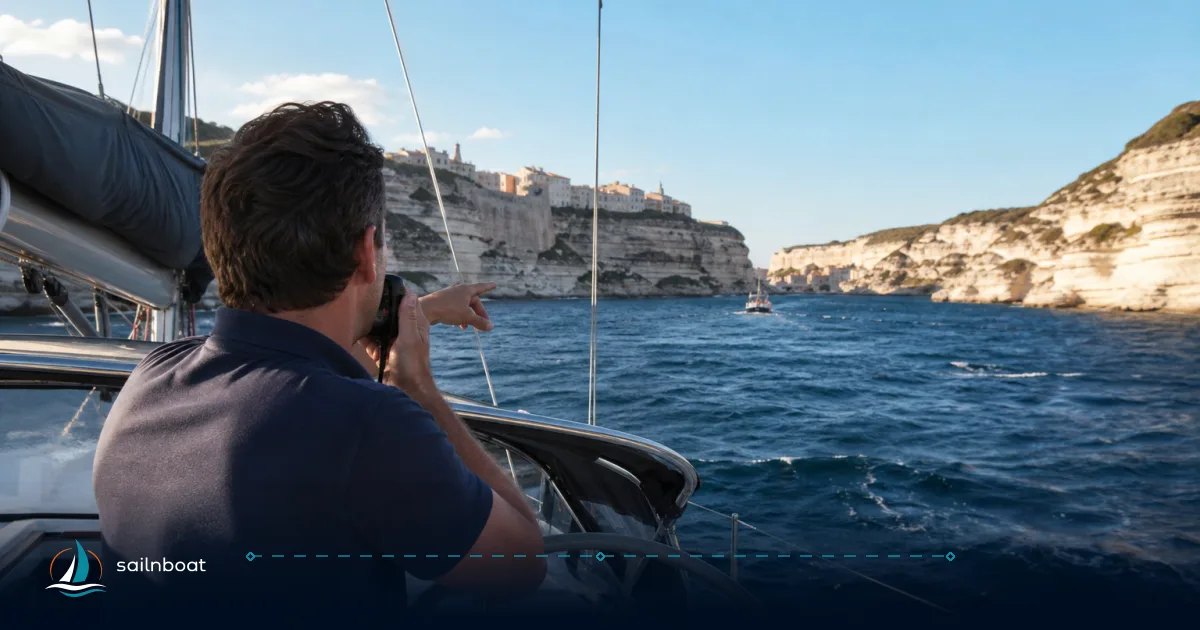
The Bonifacio Strait is a tactical passage, not a scenic shortcut. Currents shaped by wind—often reaching 3–4 knots—combine with rapidly shifting weather, making timing and preparation critical for any charter crew. Your crossing window hinges on up-to-date forecasts, a working knowledge of local VHF reporting practices, and a clear abort plan to a nearby sheltered harbour or anchorage. Keep charts and local Notices to Mariners at hand; the strait rewards vigilance and penalises complacency.
Understanding the Bonifacio Strait Currents
The narrow strait between Corsica and Sardinia (about 11 km at its tightest) is shallow relative to open ocean passages, with maximum charted depths around 100 m. Here, surface currents are dominated by wind—especially after a day or more of strong Mistral or Levant—rather than by predictable tidal patterns. The channel’s geography funnels wind and swell, so the sea state can shift quickly with the weather.
Current Speeds and Patterns
- Typical pattern: Tidal currents are generally weak and variable. The main consideration is wind-driven flow, which builds after persistent winds from the west (Mistral) or east. Nautical pilots record flows up to 3–4 knots; in settled weather, plan for 1–3 knots, but after a strong blow, expect higher peaks.
- Impact on passage: Opposing currents increase fuel burn and transit time; steerage can become challenging in confused seas. If your schedule depends on daylight, add a 25–50% time buffer when the forecast predicts strong wind aligned with the channel.
Impact of Mistral Winds
- Mistral effect: The Mistral (Maestrale) is notorious here, funnelling through the strait at 20–35 knots, with higher gusts in major events. With a strong westerly or northwesterly wind, expect a pronounced set through the passage, steep chop, and hazardous wind-over-current conditions.
- Practical rule: Avoid planned crossings during a sustained Mistral or when gusts exceed what your crew and vessel can handle. If you must cross, use the shortest, buoyed channel and consider a professional pilot for larger or less manoeuvrable yachts.
Optimal Weather Windows for Crossing
A stable weather window is your best insurance in the Bonifacio Strait. The sea state responds quickly to any synoptic change. Consult forecasts and local warnings within 6–12 hours of departure—conditions can shift overnight.
Seasonal Weather Patterns
- Summer (June–September): The most settled period, but expect sea breezes and afternoon gusts. The lee of nearby islands often provides shelter, but even in summer, the Mistral can blow for several days.
- Shoulder months (May, October): Good compromise—sea temperatures are still comfortable and Mistral frequency is lower than in winter. Night and early-morning conditions can be more variable. Look for a 48–72 hour settled forecast, not just a single calm period.
Recommended Crossing Times
- Early morning: Winds often ease overnight. Departing at first light or mid-morning usually means calmer seas and less local traffic—ideal for crews preferring daylight and comfort.
- Slack or light-wind windows: Aim for a crossing after at least 12–24 hours of light prevailing wind. If the forecast shows strengthening wind, do not start unless you have a nearby harbour or mooring within reach.
- Avoid: Any forecast with Mistral above 25–30 knots, severe gale warnings, or active marine alerts. Local authorities may issue navigational restrictions during these periods.
Recommended Departure Points and Sheltered Anchorages
Choose your departure based on the wind: Bonifacio offers direct access to the western end of the strait, while Santa Teresa di Gallura is the main Sardinian gateway, close to the La Maddalena archipelago.
- Bonifacio (Port de Bonifacio): Full marina services, inner harbour berths, and direct access to the Lavezzi approaches. Mediterranean-style stern-to berthing is common and secure in bad weather.
- Santa Teresa di Gallura: Practical Sardinian base for the eastern approach, with marina berths, fuel, and quick access to La Maddalena.
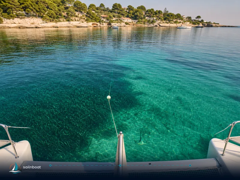
- Gulf of Sant’Amanza (Corsica): Seasonal mooring buoys and sheltered holding, often used as a waiting anchorage before crossing. The field is managed by Bonifacio marina and subject to nature reserve rules; reservations may be required in summer.
- La Maddalena archipelago (Sardinia): Permitted anchorage and mooring zones managed by the national park authority. In high season, buoy fields are reserved and regulated—check availability and reserve ahead if possible.
Table — Comparison of Key Departure and Shelter Points
| Location | Shelter vs Mistral | Typical Facilities | Notes |
|---|---|---|---|
| Port de Bonifacio (Corsica) | Good inner-harbour shelter; exposed entrance | Fuel, water, electricity, harbour master, minor repairs | Stern-to berths; marina VHF channel commonly 9; confirm locally for latest frequency. |
| Gulf of Sant’Amanza (Corsica) | Good lee for W/NW winds when protected | Seasonal mooring buoys, no shore facilities | Managed by Bonifacio marina; reserve in high season; subject to nature reserve rules. |
| La Maddalena archipelago (Sardinia) | Excellent sheltered inlets; variable exposure | Seasonal buoys, provisioning in town, limited repairs | Anchor only in designated zones; permits required in summer; reserve buoys in advance. |
| Santa Teresa di Gallura (Sardinia) | Reasonable lee depending on wind vector | Marina berths, fuel, local provisioning | Good base for eastbound legs or waiting for a western weather window. |
Pick a base that gives you a practical, safe abort point within 30–60 minutes’ motoring. This is essential for a conservative passage plan.
Marina Facilities and Mooring Options
Both Port de Bonifacio and Santa Teresa di Gallura cater to visiting yachts, but services and berth styles differ.
Mooring Fees
- Expectations: Fees are seasonal and depend on LOA, berth type, and marina concession rules. Bonifacio publishes tariffs and offers shore power, water, and standard marina services. Santa Teresa provides berth info through local tourism and marina contacts. Always request a quote for your exact LOA and dates—do not assume a flat per-metre rate.
- Booking advice: Summer fills quickly, especially for catamarans or wide-beam boats. Book early. Expect extra charges for electricity, water, waste, and sometimes a refundable deposit for high-power connections or access cards.
Available Services
- Bonifacio: Water, electricity, harbour master, a small shipchandler, and in-harbour diver support for fouled propellers or basic underwater work. The harbour office provides local instructions and VHF contacts.
- Santa Teresa: Fuel and water, visitor pontoons, local chandler, and light repair services. Major repairs require transfer to a larger Sardinian yard—plan ahead if you anticipate needing more than routine support.
Navigating Approach Hazards
The Bonifacio Strait is a narrow, island-dotted corridor with rocks, shoals, and heavy local traffic. Up-to-date charts and Notices to Mariners are mandatory.
Submerged Rocks and Reefs
- Lavezzi archipelago: Dense with reefs, rocky shoals, and historical wrecks, especially near Bonifacio. Follow buoyed channels exactly—do not shortcut or attempt unmarked passages. Hazards are well charted, but the recommended track is substantially narrower than the straight-line distance.
- Chart practice: Use the latest official charts (SHOM for France, IIM for Italy) and Notices to Mariners. The off-lying islands narrow the safe passage, so precision matters.
Traffic Separation Scheme and Reporting
- Reporting system: The strait is covered by an IMO-recognised traffic routing and reporting scheme. Before entering, yachts should contact the Pertusato (French) or La Maddalena (Italian) signal stations. VHF channel 16 is the international calling frequency; local stations may monitor channel 10 or 9, but these can change—confirm with the marina or harbour master before departure.
- Commercial restrictions: Bilateral measures between France and Italy prohibit navigation of ships carrying dangerous goods (oil, certain chemicals) under their flags; other-flagged ships are subject to reporting and routing rules. These restrictions have been in place since the early 1990s and are reinforced by IMO recommendations, but always check current local guidance for the latest updates.
Local Services Near the Bonifacio Strait
Service infrastructure is concentrated in the main towns. Plan provisioning and spares with a buffer; do not rely on small anchorages for last-minute needs.
Dinghy Landing Points
- Bonifacio harbour: Dedicated landing stages and visitor berths for tenders and crew transfer. Marina instructions specify which pontoons are for visitors and their hours—follow these to avoid commercial or restricted piers.
- Santa Teresa di Gallura: The marina and waterfront have landing spots and small jetties. Adhere to local signage and marina rules; avoid fisheries and ferry infrastructure.
Provisioning and Repairs
- Provisioning: Both Bonifacio and Santa Teresa offer supermarkets and small chandlers. Bonifacio has expanded tourist-season services. La Maddalena town also provides provisioning if you shelter there.
- Repairs: Bonifacio supports basic diesel, rigging, and underwater work. Major mechanical or structural repairs are handled in larger Sardinian yards—contact the harbour master for vetted local contractors and book ahead if needed.
Practical Passage Checklist
Action-first checks before your crossing:
- Weather and sea-state: Final check within 6 hours of departure. Cancel if the forecasted Mistral exceeds 25–30 knots or if local bulletins warn of hazardous seas.
- VHF/reporting: Make contact on the frequency provided by the marina or harbour master—typically channel 16, with local working channels often on 10 or 9. State your vessel, type, draft, position, and intended track. Maintain a listening watch throughout the transit.
- Charts & pilot notes: Carry up-to-date official charts (SHOM/IIM) and the latest Notices to Mariners. Mark buoyed channels and regulated zones clearly.
- Fuel & water: Top up before transit. If head currents are likely, estimate engine hours and fuel burn with a 25–50% allowance for adverse conditions.
- Lines & fenders: Prepare for stern-to berthing. Brief your crew for quick docking in case you must abort to a harbour.
- Crew & safety: Lifejackets should be worn above comfort limits. Brief crew on man-overboard procedures and emergency plans.
- Local pilot: For larger or unfamiliar yachts, consider local pilotage. Pilot stations and contacts are listed in sailing directions and the harbour master's office can arrange embarkation if needed.
Last-mile Navigation: Recommended Tactics
- Stick to buoyed and marked channels. Maintain a 360° lookout for fast ferries and commercial vessels—the strait is a busy corridor.
- If opposing currents slow your speed-over-ground to the safety margin, consider a short detour to a lee anchorage (Sant’Amanza, Cala Spalmatore, Cala Lunga) rather than pushing through worsening conditions.
- In a fresh Mistral, seek lee behind a headland or move into an inner harbour. Do not attempt to beat directly into a wind-driven set in confined waters.
What Can Go Wrong—and How Operators Handle It
- Sudden Mistral onset: Most incidents happen when crews underestimate how fast the wind will build. Move to shelter at the first sign of a rising Mistral, not the last.
- Grounding on unmarked shoals: Rare if you follow buoyed channels and up-to-date charts. Problems occur when crews shortcut or anchor in prohibited Posidonia beds. Use pilot advice and avoid night shortcuts.
- Commercial restrictions and enforcement: Active maritime surveillance is routine. Failure to comply with reporting can lead to fines or inspection—keep your documents ready and respond promptly to VHF hailing.
Frequently Asked Questions
Aim for light offshore or calm conditions and a settled synoptic pattern; avoid crossings during a Mistral (often 20–40+ knots) or when local forecasts show gusting winds and significant swell.
Bonifacio (Corsica) and Santa Teresa di Gallura (Sardinia) are the main bases with direct access; choose the side that gives the best lee relative to the forecasted wind.
Gulf of Sant'Amanza (Corsica) and sheltered bays within the La Maddalena archipelago (Cala Spalmatore, Cala Lunga, Razzoli approaches) are commonly used.
Fees vary by season, vessel length and berth type; both marinas offer water and electricity and limited repair support—check the marina tariff pages or contact the harbour master for current rates.
Pay attention to submerged rocks and reefs around the Lavezzi group, narrow channels and wind-driven currents (up to 3–4 knots); follow the buoyed channels and local VHF advisories.
Bonifacio has dedicated landing stages inside the harbour; Santa Teresa di Gallura marina and adjacent waterfront have designated landing/mooring spots—use marina/harbour instructions for exact locations.
Both Bonifacio and Santa Teresa provide fuel, water, basic provisioning and small-engine/underwater repair services; larger works are available in bigger Sardinian marinas (book ahead).
Written by
Sailnboat Editorial
The Sailnboat editorial desk covers yacht and boat chartering worldwide — routes, bases, seasons, boat types, paperwork and the practical costs that decide a trip. We are a charter marketplace, not a boat owner or a local agency: what we sell is judgement and support, so our guides are written to help you make a decision, not to sell you a specific boat. Every guide is checked against live operator and marina data before it goes out.
Fact-checked against live operator and marina data, and published under our editorial standards. Last reviewed: .