Understanding Tidal Currents: A Guide for Sailors
A practical guide that explains what tidal currents are, how to read tide and current charts, and how to use flood, ebb and slack to plan faster, safer passages.

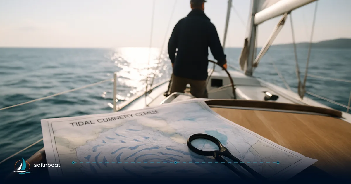
If you plan a coastal passage, timing the tidal current can cut hours from a short hop or stop you being set onto a shoal.
Understanding the Basics of Tidal Currents
What are Tidal Currents?
Tidal currents are the horizontal movement of water caused by the rise and fall of the tide as the ocean responds to the gravitational pull of the Moon and Sun plus Earth’s rotation. Unlike the vertical change in sea level you see on a tide chart, currents describe flow speed and direction at a particular location and time. Tidal currents are predictable in the long term because they are driven by astronomical forces, but local geometry (bays, estuaries, headlands) and short-term weather make actual conditions vary.
A practical distinction: tides describe change in height; tidal currents describe horizontal movement. You need both to make safe decisions in shallow water, narrow channels or strong-flow passages.
Types of Tidal Currents
- Flood current: the flow that moves in the direction of rising tide, typically into bays, estuaries, or harbours, but the exact direction depends on local geography. Use a flood when it moves in the direction you want to go.
- Ebb current: the opposite flow—moving out of bays, estuaries, or harbours as the tide falls, with direction determined by local geography. Ebb can set you off course or slow progress when it opposes your route.
- Slack water: a short period when the current drops to minimal speed and reverses direction. Slack can be brief in constricted channels and is often near high or low water, but slack does not always coincide exactly with the tide’s peak or trough. Expect variation by location.
Treat slack as useful when you need a calm moment to pass a narrow bridge or pick up a mooring, but don’t rely on it being long—some locations have slack measured in minutes, not hours.
How to Read and Interpret Tide Charts
Components of Tide Charts
- Times of high and low water: these give the vertical extremes for a specific tide station and date; the chart will list times (local time or UTC depending on the source) and heights above a chart datum.
- Tidal range: the vertical difference between high and low water for that tide—large range increases the potential energy driving currents in constricted areas.
- Tidal datum (chart datum): depths and heights are measured relative to a datum—on U.S. charts this is typically Mean Lower Low Water (MLLW); other regions use Lowest Astronomical Tide (LAT) or local datums. Know the datum used by your charts because it affects how much water you actually have over a drying bank.
When you view a tide table, convert the listed time to your boat’s clock (and watch for daylight saving). If your source uses UTC, add/subtract the offset your chart indicates.
Types of Tides and how they show on charts
Use this table to compare the three common tidal regimes you’ll see on charts and tables:
| Type | Typical daily pattern | On a tide chart you’ll see |
|---|---|---|
| Semidiurnal | Two highs and two lows (~every 12h) | Two similar high-water marks and two similar lows per day. Common on many Atlantic coasts. |
| Mixed semidiurnal | Two highs and two lows, but differing heights | Alternate high/low heights; timing shifts each day—common in the Pacific and many complex coastlines. |
| Diurnal | One high and one low per day | Single high and single low; less common globally but present in some locations. |
Understand the type for your area: mixed regimes complicate planning because the stronger high/low shifts in time and height day-to-day.
Reading times vs. currents
A common rule of thumb is to expect slack near high or low water, and flood/ebb to occur between them, but that relationship is not exact everywhere; local current tables or current predictions are the authoritative source for timing and maximum speed. Always consult current predictions for the exact times and strengths you’ll encounter.
Navigating Using Tidal Currents: Practical Sailing Strategies
Incorporating Tidal Currents into Passage Planning
- Identify choke points first — narrow channels, headlands, bridges, shoals and estuary entrances. These are where current speed and set matter most.
- For each choke, get the current prediction (time of max flood/ebb and max speed) and the tide heights for the same date and station. NOAA-style current predictions list maximum flood/ebb times and speeds for official stations; similar services exist worldwide.
- Calculate expected speed over ground (SOG): SOG = speed through water ± current speed (use the same units, knots). Example: if you normally cruise 6.5 kt through the water and expect a 1.5 kt adverse ebb, your SOG becomes ~5.0 kt and your ETA extends accordingly. If the current is favourable, add it to estimate transit time reduction. (This arithmetic is only exact when the current is aligned with your course. Otherwise use vector addition (set and drift) to compute correct heading, COG, and SOG).
- Pick departure time to meet a favourable flow through the choke, or to avoid the worst adverse flow. If your route must pass through an area when current is strong and adverse, consider waiting or choosing a more sheltered route.
Table: Simple passage planning example
| Leg | Distance (nm) | Boat speed (kt) | Expected current (kt) | SOG (kt) | Time (h) |
|---|---|---|---|---|---|
| A → B | 18 nm | 6.5 | +1.5 (favourable) | 8.0 | 2.25 |
| B → C | 12 nm | 6.5 | −2.0 (adverse) | 4.5 | 2.67 |
| Total | 30 nm | — | — | — | 4.92 |
Totals add and show leg-by-leg impact; don’t average currents—apply them to each leg separately.
Improving Sailing Speed and Efficiency
- Time your departure so a flood/ebb helps you through the most exposed or restrictive section. On days with strong spring tides or perigean spring tides (when the Moon is nearest Earth), currents and ranges can be stronger than average—plan accordingly.
- When beating into an adverse current, consider motor-sailing, changing course to a longer but more sheltered track, or waiting for slack. Fighting a strong adverse current is fuel-inefficient and slow.
- In drying harbours, plan to arrive near high water on a rising tide (before HW) so you have maximum depth and a rise to refloat you if you touch. Depart before the tide falls below your required depth if your berth dries.
The Impact of Marine Weather on Tidal Currents and Sailing
Weather's Influence on Tidal Currents
Weather changes water levels and can alter currents significantly:
- Wind-driven set: sustained onshore wind raises water against the coast and can oppose or strengthen a tidal current locally.
- Barometric pressure: low pressure can raise water level (storm surge component), increasing depth and potential current strength; high pressure does the opposite.
- Storms and freshets: heavy rain and river discharge alter estuary currents and can create strong, asymmetric flows independent of the astronomical tide.
Because tidal predictions are astronomical, they assume typical weather; always overlay the latest marine forecast to account for weather-induced deviations. Local authorities and operational prediction services will sometimes issue corrected tide/current guidance for storms.
Risks of Ignoring Tidal Currents
- Grounding: an adverse current combined with low tide reduces under-keel clearance and increases risk in drying channels.
- Missing windows: arriving at a tidal gate (bridge or lock) at the wrong tide can result in long waits or no transit.
- Being set onto hazards: narrow channels magnify set; even modest current perpendicular to your course can push you off a safe track.
- Fatigue and fuel waste: motoring against current increases engine hours and fuel use; it also increases crew strain.
Real incidents often trace back to ignoring a simple current table for a choke point. Use tide and current predictions as part of your safety margins, not as convenience.
Practical checklist and tools you should use
- Tide chart for your plan date and nearest stations (check the datum) — know high/low times and heights.
- Local current predictions or current tables for the channel/headland you’ll transit—note times of maximum flood/ebb and slack.
- Marine weather forecast (wind, pressure, storm warnings) for the same period. Cross-check for expected surge or strong onshore winds.
- A clear passage plan showing critical waypoints, distance by leg, expected SOG with currents, and an alternate plan if currents are stronger than predicted.
- Logging: record actual times and current behaviour on the first passage through a new area—this builds your personal local knowledge faster than any book.
Tools and aids: established prediction services (NOAA in the U.S. is one example) publish tide and current predictions; commercial apps and tidal calculators exist (many have useful tide compasses or current arrows), but always compare app output with official current stations for choke points.
Closing practical notes
Tidal currents are one of the few elements of a coastal passage you can predict well in advance—but local idiosyncrasies and weather always matter. Use tide charts to know the vertical window and current predictions to time your passage through the risky bits. Where currents are strong, plan for reduced speeds and have contingency fuel/time built into your schedule.
Start by practising on easy, well-charted runs: time a short leg with predicted flood/ebb and compare predicted SOG to what you actually log. That calibration—your local experience—transforms predictions into reliable decision-making for safe, efficient sailing.
Frequently Asked Questions
Tidal currents are the horizontal movement of water driven by the tide cycle (flood, ebb); they change your boat’s speed over ground and set, so they affect ETA, fuel use and safety.
Read high/low times and heights on the tide chart, then use a local current table or predictions to see when flood and ebb (and maximum speeds) occur for that station.
Semidiurnal (two highs/two lows), mixed semidiurnal (two highs/two lows of differing heights) and diurnal (one high/one low) affect timing and tidal range—important for shallow water and bridge clearances.
Time departures to ride a favourable current, avoid strong adverse flows, and plan legs so you meet adverse currents when you can motor or take a sheltered route.
Wind, barometric pressure and storm surge alter water levels and can strengthen, reverse or mask tidal current predictions, so consult weather and current predictions together.
Identify critical choke points, check current strength and timing for those spots, calculate speed over ground with expected currents and pick a departure time that minimises adverse flow.
Risks include missed ETAs, grounding in shallow or drying areas, set onto hazards in narrow channels, and increased fuel/time when motoring against a strong tide.
Written by
Sailnboat Editorial
The Sailnboat editorial desk covers yacht and boat chartering worldwide — routes, bases, seasons, boat types, paperwork and the practical costs that decide a trip. We are a charter marketplace, not a boat owner or a local agency: what we sell is judgement and support, so our guides are written to help you make a decision, not to sell you a specific boat. Every guide is checked against live operator and marina data before it goes out.
Fact-checked against live operator and marina data, and published under our editorial standards. Last reviewed: .