Navigating Open Water: Essential Skills for Safe Sailing
Master a concise set of open water sailing skills—navigation methods, seamanship, chartwork and safety procedures—that keep you safe and decision-ready offshore.

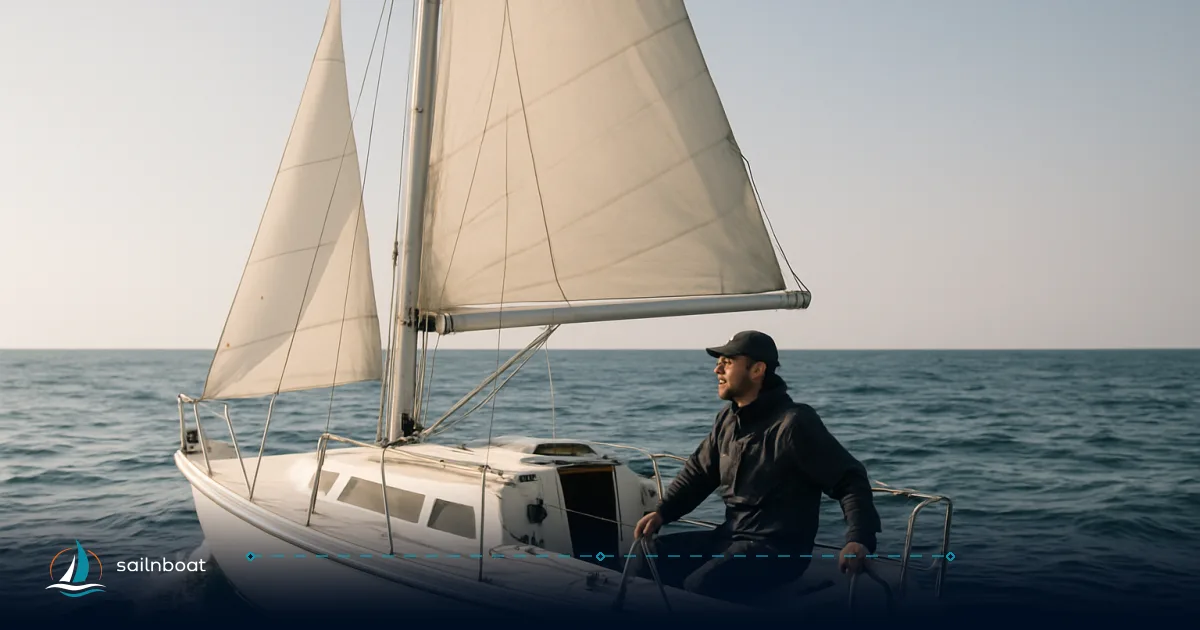
To sail safely offshore you must master a small set of open water sailing skills: reliable position-keeping (dead reckoning plus fixes), confident boat handling under sail and power, secure anchoring and fast man‑overboard recovery, and a navigation toolkit that pairs electronic systems with paper-chart skills.
Fundamentals of Open Water Navigation
Open-water navigation reduces to three repeatable actions: know where you are now, where you will be in X hours, and how you will confirm that position. Do those three well and you can make sound decisions offshore.
Key Navigation Techniques
- Dead reckoning (DR). Start each passage with a known fix (harbour exit, waypoint or GPS position) and advance it by course steered and distance made good (time × speed). Keep a continuous DR plot and mark the time for every leg — DR accuracy degrades with time, tide and leeway, so refresh it with fixes regularly. Practical training courses (Day Skipper / Coastal Skipper) make DR plotting routine.
- Fixes and lines of position (LOPs). Use two or more LOPs (bearing fixes, radar ranges, visual bearings) to form a running or re‑established fix. If only one LOP is available, combine it with a DR position to form an estimated position.
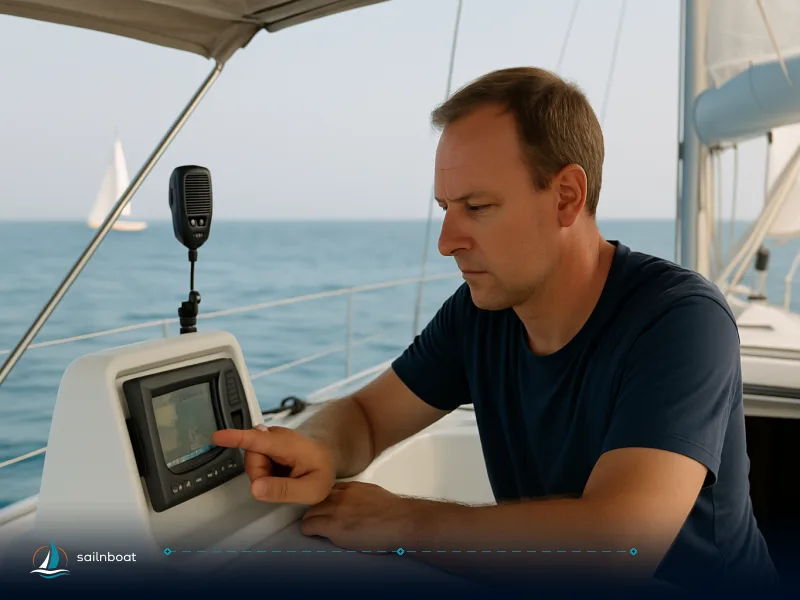
- Electronic navigation (GPS/chartplotter). Use a chartplotter for continuous position and route-following, but treat it as one sensor among many — confirm the plotted position with visual bearings, radar or paper-chart checks at regular intervals. Keep e-charts updated and monitor notices to mariners when operating in unfamiliar waters.
- Passage planning and margins. Plan a primary route plus one or two alternatives; note waypoints, fuel margins, safe anchorages and minimum depths using current charts. For offshore legs, plan for conservative speeds and include a margin for weather or mechanical issues.
Essential Seamanship Skills for Open Water Sailing
Seamanship is the practical application of navigation and boat control. Drill these until muscle memory replaces panic.
Boat Handling Techniques
- Sail trim and balance. Learn how changes in sail area and trim affect helm balance and speed: reef early rather than late, and practice short‑tacking and heaving‑to so you can control the boat in a blow.
- Motoring and close‑quarters control. Under power, practise slow forward/reverse steering, propwalk compensation and stopping distances — a boat’s stopping distance can vary widely with displacement and prop type, so test yours in calm conditions.
- Manoeuvres in varying wind. Train crew to communicate a single call sequence for tacks, gybes and emergency turns. In gusty or shifty wind, favour small, early sail adjustments over large reactive ones.
Anchoring and Man-Overboard Recovery
- Anchoring fundamentals. Choose a firm holding ground if possible, give ample swinging room and deploy enough rode. Scope guidance is widely taught as a working range: 5:1 is a practical minimum in calm, protected conditions; 7:1 is a common overnight standard and many skippers use larger ratios in heavy weather. Use chain or a chain/rope combination where possible — chain adds catenary and helps the anchor set. Remember that holding depends on anchor size/type, seabed composition and wind/sea state, so adapt accordingly.
- Setting and checking the anchor. After a firm reverse‑check, mark your rode at the bow (or set an anchor alarm) and log the time. Re‑check position against a clear landmark, GPS and depth; watch for drag when wind shifts.
- Man‑overboard (MOB) immediate steps. The initial actions are consistent across authoritative procedures: shout “Man overboard!”, assign a dedicated spotter who points continuously at the casualty, throw a lifebuoy or flotation aid immediately, press the MOB button on your plotter/DSC radio if fitted, and commence a planned recovery manoeuvre (quick stop, Williamson turn or figure‑of‑eight depending on boat and conditions). Launch a rescue boat if available and call for assistance if the person cannot be recovered quickly. Practice these drills regularly — the first minute decides the outcome, but the exact frequency should be based on your training authority's recommendations and your crew's experience.
Understanding and Reading Nautical Charts
Charts are the legal and practical foundation of offshore navigation. Know chart datums, soundings and symbols; Chart No. 1 is your reference manual.
Chart Symbols and Scales
- Chart No. 1 and soundings. Consult Chart No. 1 for symbols, abbreviations and chart datum; soundings show depth relative to the chart datum stated in the chart title, and units (metres, feet or fathoms) are declared on the chart. Treat soundings as the starting point — tidal range and current can change the usable depth.
- Aids, hazards and buoyage. Learn IALA buoy shapes and colours used in your operating region and recognise wreck and obstruction symbols at a glance. Use the compass rose for true/variation conversion and double‑check magnetic variation for your passage.
Practical Chart Reading Techniques
- Plotting a course. Use parallel rules to transfer headings to the compass rose and dividers to measure distances against the latitude/longitude scales; plot a coastal track with intermediate waypoints that account for local hazards and tide. Practising this on training charts (the standard practice chart used in exams) builds speed and accuracy.
- Identifying hazards and safe passages. Mark least depths, narrow channel centres and recommended traffic lanes. When in doubt, choose a route with generous underkeel clearance and alternative anchorages noted.
Safety Protocols and Emergency Procedures at Sea
Safety starts before casting off and continues as a sequence of checks, briefings and practiced responses.
Essential Safety Equipment
Below is a compact checklist many offshore skippers use. Regulatory minimums vary by flag state and the waters you sail; the US Coast Guard provides federal carriage requirements for recreational vessels operating in U.S. waters.
| Item | Purpose / Notes |
|---|---|
| Lifejackets (USCG‑approved) | One per person + accessible, with harnesses for offshore; wear in heavy weather. |
| VHF radio (DSC if possible) | Primary short-range distress/comms; assign a radio operator. |
| EPIRB / PLB | Offshore distress beacon — registration required and strongly recommended. |
| Lifebuoy with line, heaving line | Immediate flotation and retrieval aid. |
| Flares / visual signals | Required in many jurisdictions for night/offshore distress. |
| Fire extinguishers, bilge alarms | Fit and service per vessel size and engine type. |
| Liferaft (for extended offshore passages) | Select capacity and service interval appropriate to crew size. |
| Radar reflector / AIS / personal AIS beacons | Improves detection by other vessels and SAR. |
For U.S. recreational boats the Coast Guard Boater’s Guide summarises carriage and approval standards — adapt your fitout to the route and number of crew.
Emergency Response Procedures
- Pre‑departure brief. Run a four‑minute briefing: MOB call and procedure, where lifejackets and harnesses are stowed, fire and abandon ship plan, and who mans the radio.
- Communications in an emergency. Use VHF channel 16 for initial hailing and DSC/Mayday for urgent distress; if you activate EPIRB/PLB, notify coastguard as soon as practical to pass supplementary information.
- Damage control and medical. Train at least one crew in basic first aid and casualty handling; secure temporary patches for flooding, and know how to operate portable bilge pumps and emergency tiller.
Utilizing Traditional and Electronic Navigation Tools
Practical navigation mixes old and new. Each tool has strengths; use both.
Traditional Navigation Tools
- Parallel rules, dividers and a pencil. Learn to “walk” parallel rules to transfer bearings and use dividers to measure distance against the latitudinal scale. These skills let you plan and verify positions without power. A plotting kit is inexpensive and worth regular practice.
- Paper charts. Keep corrected paper charts for your planned area and mark tide heights and datum on them before departure. Paper charts give situational awareness that complements the zoomed-in view on a plotter.
Integrating Electronic Systems
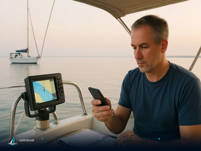
- Chartplotter and apps. Use a dedicated chartplotter as your primary sensor and a tablet/phone with offline charts as a portable backup. Maintain chart updates and check Local Notices to Mariners when planning passages.
- Redundancy plan. Always have at least one independent backup: an unfused handheld GPS, a second chartplotter, or paper charts plus a handheld GPS. Practise degraded-mode navigation (turn off the main plotter, navigate on backup) at least once a season to ensure your crew can function without the primary electronics.
Table — Traditional vs Electronic at a glance
| Capability | Traditional (paper + tools) | Electronic (chartplotter / app) |
|---|---|---|
| Power dependence | None | Requires power; can fail |
| Precision (instant) | Good with practice | High (GPS) |
| Situational overview | Broad, planning-friendly | Zoomable, dynamic |
| Best role | Backup / verification | Primary navigation and route-following |
| Keep practising? | Mandatory | Mandatory to cross-check and update |
Drills, Preparation and the Practice Plan
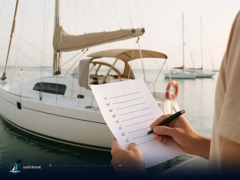
- Pre-departure checklist (repeat before every departure): fuel, engine start/check, VHF check, EPIRB/GPS battery and registration, lifejackets/harnesses accessible, anchor rode set for first stop, navigation plan with contingency waypoints and ETA calls.
- Training cadence. Run MOB drills and degraded electronic navigation drills regularly; the recommended frequency varies by training authority and your operational needs. Keep a brief log of drills and lessons learned.
- When to seek training. If you are unsure about any manoeuvre (anchoring in tidal streams, heavy-weather sail handling, night passages), book a hands-on course or hire a delivery skipper for a passage to learn in real conditions.
Final note Open water sailing skills are a small set of repeatable practices: navigate deliberately, handle the boat deliberately, and rehearse the emergencies until they feel routine. Mix paper-chart competence with a modern electronic suite and a tested backup plan — that combination is what keeps you safe.
Frequently Asked Questions
Use dead reckoning between reliable fixes (visual, radar, celestial, or GPS), keep a continuous DR plot, cross-check electronic positions with charted features, and maintain redundancy (paper charts + handheld GPS or second device).
Practice sail trim and short-handed manoeuvres, rehearse berthing and anchoring, run timed man-overboard drills, and skipper passages under different wind and sea conditions with an experienced crew or instructor.
Start with Chart No. 1 for symbols and datum, read the chart title for depth units and datum, interpret soundings and contours, convert scales with dividers, and plot courses using parallel rules and compass roses.
Carry USCG‑approved lifejackets, a VHF (with DSC if possible), an EPIRB/PLB for offshore work, visual distress signals, fire extinguishers and a liferaft where the passage demands it; perform pre-departure checks and crew briefings every time.
Parallel rules, dividers and paper charts let you plot courses and check distances when a chartplotter or GPS is offline; practising chartwork keeps you competent in degraded or no-signal conditions and provides a robust plan B.
Written by
Sailnboat Editorial
The Sailnboat editorial desk covers yacht and boat chartering worldwide — routes, bases, seasons, boat types, paperwork and the practical costs that decide a trip. We are a charter marketplace, not a boat owner or a local agency: what we sell is judgement and support, so our guides are written to help you make a decision, not to sell you a specific boat. Every guide is checked against live operator and marina data before it goes out.
Fact-checked against live operator and marina data, and published under our editorial standards. Last reviewed: .