Norway Fjords Pilotage: Your Guide to Navigating Narrow Channels
A practical skipper’s guide to Norway fjords pilotage: how to use Den norske los, manage narrow channels like Nærøyfjord and Trollfjord, plan for tides, and when to book pilots.

Norway fjords pilotage is about using the right information at the right moment: Den norske los for the local picture, Kystverket for pilot rules and booking, and careful timing through narrows where currents and tourist traffic concentrate.
Understanding the Norwegian Pilot Guide ('Den norske los')
Den norske los is Norway’s official sailing directions: descriptive route text, official table distances, fairway descriptions, recommended tracks and local cautions — the material you consult after your charts and before committing the crew to a passage. The guide is maintained in cooperation with the national hydrographic and coastal authorities and is published in digital form for integration with official chart services.
Overview of the Pilot Guide
- Purpose and structure: Den norske los is organised regionally (volumes/sections) and provides narrative descriptions of coasts, fairways, anchorages, landmarks, typical currents and transport links; it complements official nautical charts by explaining contextual risks and standard routing.
- What matters for charterers: look for recommended routes, official “reference routes” and the table distances (used for passage planning), plus notes on pilot boarding areas and local hazards such as submerged rocks or strong tidal flows. The digital outputs are updated more frequently than printed editions.
How to Use the Guide
- Read the descriptive text for the fairway you will use before plotting a course. The guide contains coordinate-based remarks that do not appear on charts (shoal descriptions, recommended stay-out distances from cliffs, seasonal cautions).
- Integrate with electronic navigation: Kystverket’s Kystlos tools and the Kystlos app typically expose Den norske los content and official table distances inside electronic charts and planning tools — use these to generate route distance/time estimates and to overlay documented hazards. Treat the digital pilot text as the narrative layer over your ENC/ADMIRALTY charts.
- Corrections and updates: Notices to Mariners and Kystverket bulletins change local details; always check the latest electronic notices the day before and the morning of departure.
Navigating Narrow Fjord Channels
The fjords that make Norway famous are often the hardest to navigate: steep walls, sudden wind funnels, complex currents over sills and heavy summer tourist traffic. You can manage each factor; you cannot ignore them.
Challenges in Channels like Nærøyfjord
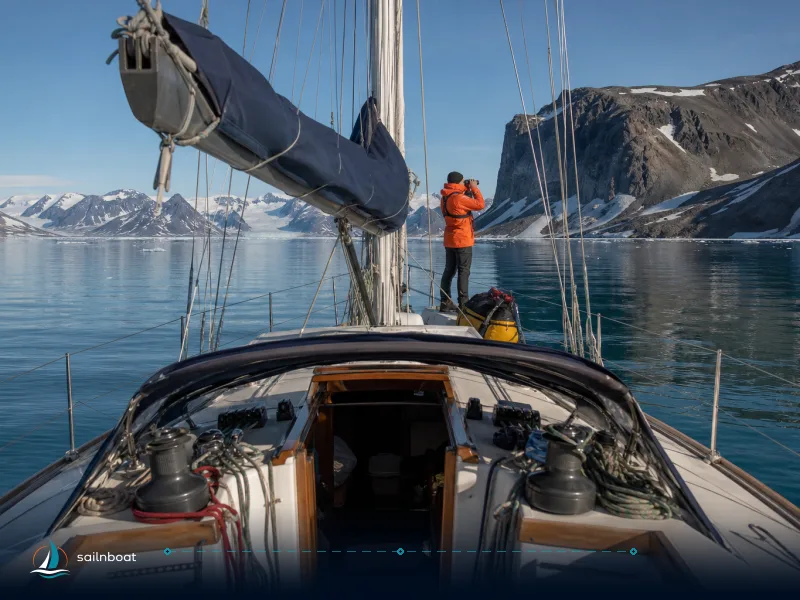
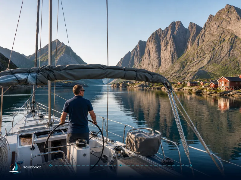
- Spatial constraints: Nærøyfjord (part of the West Norwegian Fjords UNESCO property) is a narrow branch of Sognefjord with steep sides and little room to manoeuvre in places; tourist traffic (small ferries, excursion boats) is common in daylight hours. Expect reduced navigable width at pinch points and keep to charted fairways.
- Depth and undersea features: depths in the fairway are generally charted and adequate for small-to-medium recreational craft, but unmarked wrecks, rocks and local shallows can exist near the shoreline — use official charts and the Den norske los notes rather than visual judgement alone. When a place is described as “narrow and shallow” in Den norske los, treat it operationally: slow speed, ahead-thrust available and eye on depth sounder.
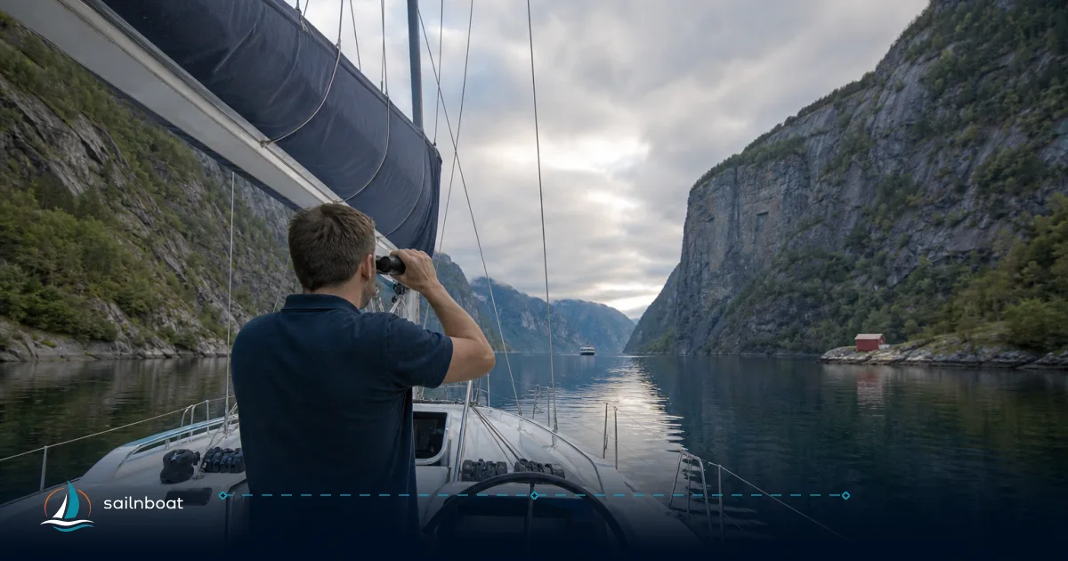
- Traffic and lookouts: put an extra lookout on the bow and have a clear VHF watch on the appropriate channel; many commercial tour vessels operate on fixed schedules and may not expect a yacht to cut across their track at the last minute.
Successful Passage through Trollfjord
- The place: Trollfjord (Raftsundet, Lofoten region) has an entrance only about 100 m wide and mountains over 1,000 m rising from the water — it is unique for its proportions and not a place for high-speed manoeuvres. Narrowness and vertical walls magnify wind and wave effects.
- Timing and speed: approach slowly and at a speed that allows immediate stopping or turning if commercial traffic appears. For yachts, plan entry in daylight and calm conditions; a late-afternoon entry after sightseeing boats depart is common for a quiet overnight. If you are not comfortable handling the boat in a 100 m gap with little turning space, don’t attempt it.
- Local knowledge: local skippers and tourist operators run this passage frequently; a short local pilot or a hire skipper with Lofoten experience reduces risk and simplifies berthing if you intend to stay inside. Cruise operators also routinely schedule entries and will brief captains on current conditions — use that knowledge.
Tidal Influences on Navigation
Tide height and tidal currents affect fjord navigation differently: heights along the west coast are modest compared with open oceans, but currents in confined passages and over sills can be much stronger than the height suggests.
Tidal Patterns in Sognefjord
- Height vs. flow: along Norway’s west coast tidal range is generally small (measured in decimetres to about 1 m in many places), but tidal currents in constricted sections and over sill areas can produce notable flows and vertical shear. Den norske los and associated sailing directions note where currents concentrate and where surface-set differs from deep water. Plan for currents in your Sognefjord passages, especially in narrow branches such as Aurlandsfjord/Nærøyfjord.
- Practical approach: if your route crosses a known tidal stream channel, plan your transit through the narrowest point close to slack water or with the tide favouring your intended direction; add margin to passage time because wind can reverse or strengthen the set.
Navigating Geirangerfjord
- Tidal considerations: Geirangerfjord’s tidal range is modest but the fjord’s steep walls make wind-driven surges and seiching (wind-driven oscillations) a practical hazard; strong onshore winds can raise water levels locally and generate currents that surprise crews used to calm conditions. Charts and Den norske los notes flag places to “keep well out into the centre” where rock-fall risk or lee effects exist.
- Best planning practice: use local tide tables (Kystverket or Kystlos) for predicted tidal heights and currents at your passage points, and combine those with wind forecasts; always have an alternative anchorage or berth in mind.
Pilotage Requirements and Local Services
Knowing when a pilot is compulsory and how to get one is non-negotiable operationally for larger vessels and strongly recommended for unfamiliar narrow passages.
Mandatory Pilotage Regulations
- The general rule: the Norwegian Coastal Administration (Kystverket) states that vessels with a length of 70 metres or more are subject to compulsory pilotage when operating in waters within the baselines. Certain vessel types (passenger vessels, dangerous cargos) have additional rules; exemptions and pilot exemption certificates (PECs) exist for qualified masters. Kystverket publishes the regulations and the geographic scope.
- Practical consequence for charters: most private yachts used in charter will be well under 70 m and therefore not automatically subject to compulsory pilotage, but masters should still assess the difficulty of each passage — operators and ports may request pilotage for safety even if not strictly mandatory.
Booking procedures and fees
- Booking: Kystverket operates a central pilot dispatch and bookings are made electronically via SafeSeaNet Norway; the pilot service is available 24/7 and includes pilot transport and dispatch. If a pilot is required, place the booking with sufficient lead time and retain the booking reference on board.
- Fees: pilotage fees consist of readiness fees and service fees; they are set and adjusted by Kystverket and vary with vessel type, size and the region. The NCA publishes fee schedules and a pilotage fee calculator — expect fees to change annually and to vary significantly between a small local pilot assignment and a long coastal pilotage. Budget accordingly.
- PEC (Pilot Exemption Certificate): if you operate frequently in a given area, a PEC allows legally acceptable exemption from taking a pilot; the PEC scheme is administered by Kystverket and applied for via SafeSeaNet.
Finding local pilot services
- Who runs it: the state pilotage is managed by the Norwegian Coastal Administration (Kystverket) which also publishes contact routines, regional pilot stations and booking instructions. Local pilot boats and helicopter pickups are operated from pilot stations along the coast.
- Timing your pilot engagement: for narrow-channel entries pick daylight windows with favourable tidal set and wind; for coastal transits that require boarding far from your port allow additional steaming time to the pilot boarding ground and confirm boarding coordinates from Kystverket’s pilotage publications.
Sample Sailing Routes in Norway's Fjords
Below are two practical sample routes between common charter bases. Distances differ by chosen fairway (coastal main led vs inner fjord), so I give ranges and the operational trade-offs.
Notes on speed assumptions: typical cruising for sailing yachts 6–8 knots; performance cruisers 8–12 kts; small motor yachts 12–18 kts. Adjust daily legs to your vessel’s realistic fuel and daylight range.
| Route | Typical fairways/waypoints | Approx. distance (nm) | Operational notes |
|---|---|---|---|
| Bergen → Flåm | Out of Bergen harbour, follow main coastal led into Sognefjord entrance, in to Aurlandsfjord and Flåm (alternate: short coastal express). | ~60–140 nm depending on coastal vs inner-fjord fairway. | Fast passenger ferries run a ~60 nm coastal schedule; yachts following the inner fjords and reference routes will cover more miles but stay more sheltered. Use Den norske los distances and Kystlos routing for planning. |
| Flåm → Ålesund | Exit Aurlandsfjord/Sognefjord, pick the coastal transit north/up to Sunnmøre into Ålesund harbour; waypoint options: Sognefjord mouth → Stad area → north along Sunnmøre coast → Ålesund. | ~120–200 nm depending on route & whether you round Stad. | Rounding Stad can be exposed to Atlantic swell; many yachts prefer remaining inside main led where possible. Plan fuel and timing around weather windows. |
How to decide which fairway to pick
- Short, exposed coastal route is faster but needs a good weather window (wind and swell), and exposure to Atlantic conditions near Stad can be rough. The inner-fjord route adds miles and time but is more sheltered and gives better options for stopovers. Consult Den norske los for the official reference routes and Kystverket’s routing suggestions in Kystlos when selecting a fairway.
Practical waypoint check-list for each leg
- Pre-departure: latest Den norske los notes, up-to-date ENC + paper chart backup, Admiralty/NOTAM/Local NtM, tide/current tables for your pinch-points, and VHF channels for coastal and port VTS.
- On passage: keep speed down in narrows, post an extra lookout, monitor depth and AIS, call other traffic on VHF early, and be prepared to take avoiding action if larger commercial traffic appears.
Final operational checklist (what you must have on a fjord cruise)
- Den norske los (digital or recent print) and official ENCs loaded.
- Up-to-date pilotage guidance and booking access to SafeSeaNet Norway (Kystverket) if you might need a pilot or hold/need a PEC.
- Tide and current predictions for named narrows (combine Kystlos local tide info with meteorological wind forecasts).
- A clear route plan that includes alternate anchorages/berths and realistic time buffers for weather, reduced speed in traffic, and embark/disembark time for pilots.
- A conversation with your charter base or a local agent about likely traffic, berth reservations and recommended pilot use — local knowledge saves time and avoids surprises.
Plan your pilotage and passage with full respect for the local procedures: Den norske los gives you the local picture, Kystverket governs pilotage and bookings, and the narrow fjords demand slack-water timing, sober speed and respect for other traffic.
Sources consulted for this guide: official Den norske los and Kartverket materials, Kystverket pilotage pages and fee documentation, UNESCO World Heritage description for Nærøyfjord, regional fjord navigation guides for Trollfjord, and sailing directions (NGA Pub) on currents and tides.
Frequently Asked Questions
Den norske los is Norway’s official coastal pilot guide (sailing directions) with descriptive route information, distances and local notes; it is published by the national authorities and is available in digital form for integration with charts and planning tools.
Narrow fjord channels concentrate currents and wind, reduce room for error and increase tourist traffic; overcome these with slow speeds, slack-water timing, clear communications, charted fairways and local pilot knowledge when available.
Tidal ranges on the southwest coast are typically small (often under 1 m), but tidal currents in confined narrows and sill passages can be significant and are further modified by freshwater runoff and wind; plan for currents in your passage planning.
Under Norway’s compulsory pilotage regulations the general rule is that vessels of 70 metres length or more are subject to compulsory pilotage inside the baselines; pilotage is arranged through the Norwegian Coastal Administration (Kystverket) and booked in SafeSeaNet Norway.
Yes — sample legs such as Bergen→Flåm and Flåm→Ålesund are presented in the article with approximate distances and route notes; distances vary by chosen fairway and should be confirmed in Den norske los/Kystlos before departure.
Written by
Sailnboat Editorial
The Sailnboat editorial desk covers yacht and boat chartering worldwide — routes, bases, seasons, boat types, paperwork and the practical costs that decide a trip. We are a charter marketplace, not a boat owner or a local agency: what we sell is judgement and support, so our guides are written to help you make a decision, not to sell you a specific boat. Every guide is checked against live operator and marina data before it goes out.
Fact-checked against live operator and marina data, and published under our editorial standards. Last reviewed: .