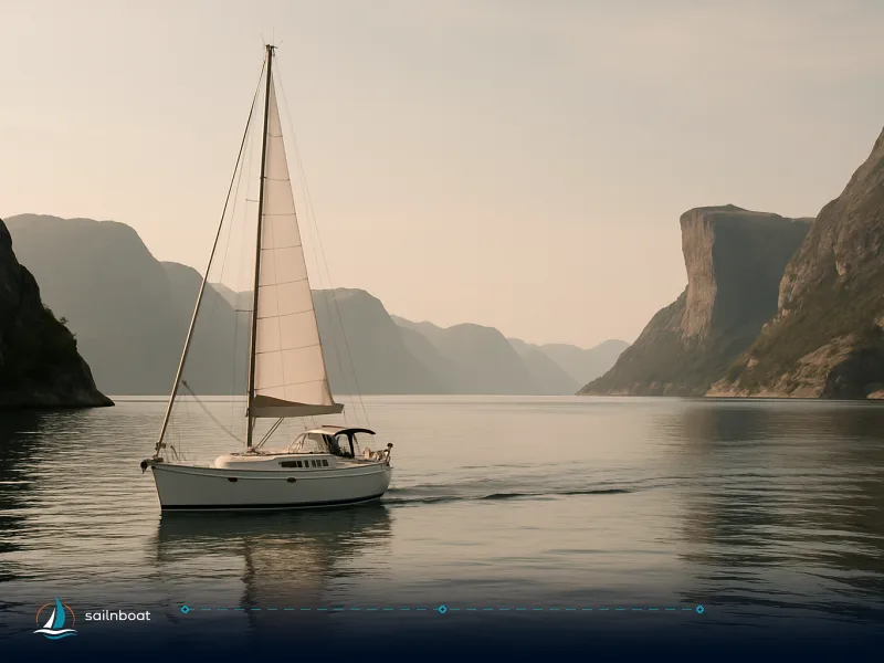
Sailing Lofoten: Seasonal Routes, Base Options and What to Expect Afloat
A practical, decision-ready guide to sailing Lofoten: when to go, a realistic one-week Harstad–Lofoten itinerary with distances, sheltered anchorages versus exposed passages, provisioning and skipper requirements.

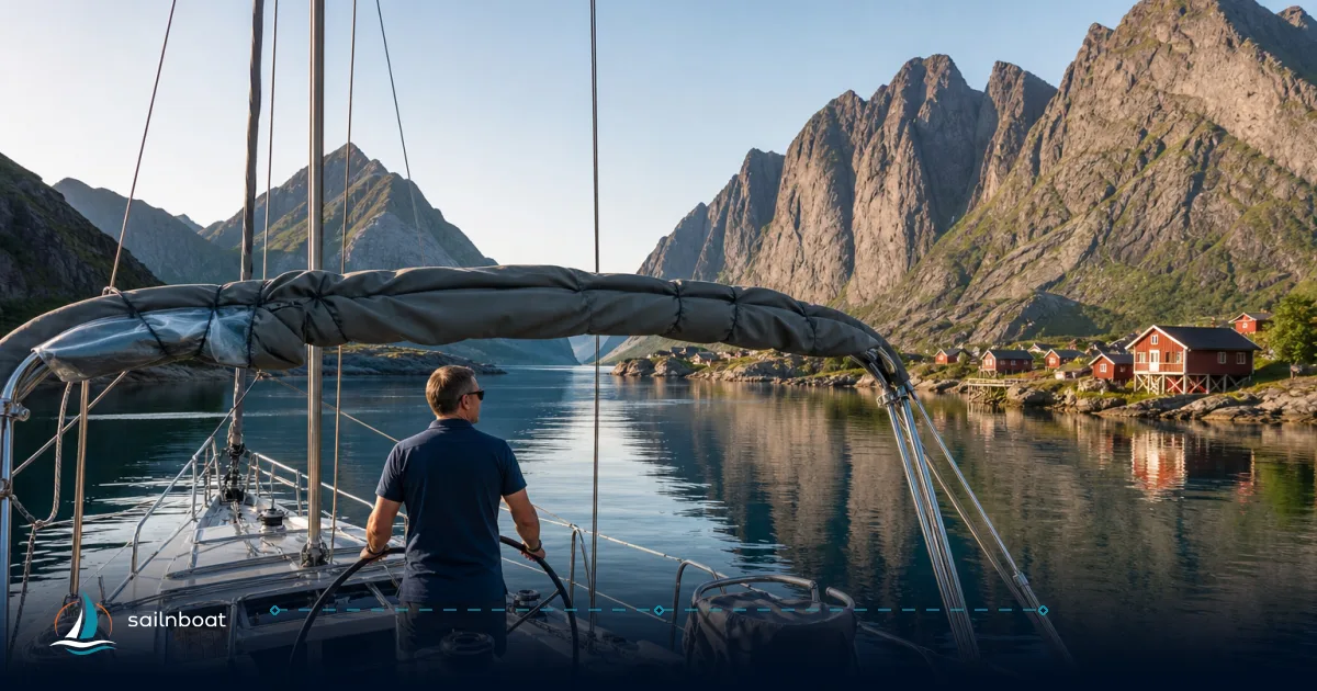
Sailing Lofoten requires planning around real charter base locations: the nearest operational base is Harstad, not Svolvær. For a one-week Lofoten circuit, expect to start and end in Harstad, adding the approach and return passages to your route planning.
Best Sailing Seasons in Lofoten
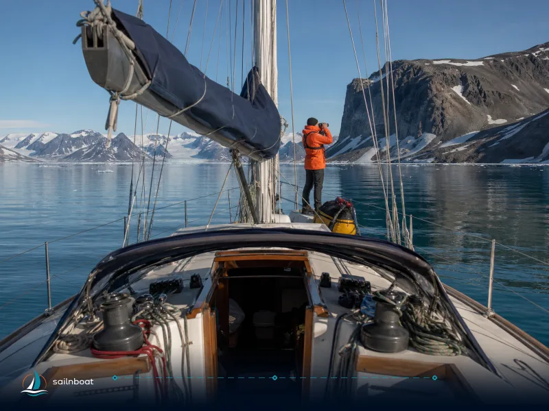
Lofoten runs two distinct cruising rhythms: the high-summer coastal season (June–September) and a winter/early-spring window that suits ski-and-sail teams.
Summer Sailing (June to September)
- Why choose it: June–August gives the warmest, most stable conditions and the midnight-sun period; late August–September returns earlier darkness and the first aurora displays. Daytime averages in summer are typically in the low-to-mid teens °C, with July often the mildest month.
- Practical effects for your planning:
- Long daylight means later evening passages and easier anchoring/landings without artificial light.
- Tourist traffic: July and early August are busiest ashore and in Henningsvær/Reine; plan to arrive early if you need a berth.
- Weather still changes quickly: check local forecasts and have an alternate plan for exposed legs.
Winter Sailing (January to April)
- When you might do it: January–April is used by experienced teams for ski-and-sail or aurora trips; March is often the balance point of daylight returning but still good snow.
- What changes operationally:
- Clothing and safety: insulated drysuits, layered thermal systems and reliable heating aboard become essentials.
- Harbour services and shop opening hours are reduced—plan provisioning and fuel carefully.
- Ice is not usually an issue in Lofoten’s main harbours, but strong winds, snow squalls and short daylight increase navigational risk.
Recommended One-Week Sailing Route
Below is a practical seven-day loop that starts and ends at the nearest charter base, Harstad, with provisioning and guest-harbour services. The route includes the approach via Svolvær and visits the classic villages and anchorages of Lofoten. Distances are straight-line (chart) approximations for planning; actual sailing distances will be longer due to routing around islands, tidal streams, and safe approach tracks.
- Note on distances and planning: the legs given are nautical mile (nm) approximations based on local harbour data and coordinates. Always step off the route on your navigational chart and add margin for tidal currents and safe approach routing. Plan conservatively for weather, especially on the longer crossings.
| Day | Route | Approx. distance (nm) | Notes |
|---|---|---|---|
| 1 | Harstad → Svolvær | 54 nm | Long opening passage; can be split with an overnight at Ulvøy or another anchorage midway. Svolvær is the provisioning and guest-harbour hub for Lofoten. |
| 2 | Svolvær → Henningsvær | 9.5 nm | Short coastal hop; inner harbour pontoons available but fill early in high season. |
| 3 | Henningsvær → Ballstad | 12–13 nm | Cross toward Vestvågøy; Ballstad has guest pontoons and is good for provisioning or fish markets. |
| 4 | Ballstad → Ramberg | 7–8 nm | Short coastal leg; Ramberg gives access to beaches and a small village shop. |
| 5 | Ramberg → Reine → Å | 13–14 nm | Combine Reine and Å into one day: enter Reinefjord approaches early, then continue to Å. Both have pontoons but limited space in high season. |
| 6 | Å → Skrova | 40–45 nm | The longest leg, requiring a full day. Consider breaking this into two days with a stop at Nusfjord or another fjord-side anchorage if needed for weather or crew rest. |
| 7 | Skrova → Svolvær → Harstad | 4–5 nm + 54 nm | Short hop from Skrova to Svolvær, then return passage to Harstad. Plan for a long final leg; consider an overnight break if needed. |
Practical routing notes
- The Harstad–Svolvær and Å–Skrova–Harstad crossings are the longest legs: on a cruising yacht, these are full-day passages. If you prefer shorter days, split them with intermediate stops.
- Tidal streams and narrow approaches (e.g., around Nappstraumen/straits near Flakstadøya) require local pilotage awareness and timing on the tide—chart and pilot-book planning pay off.
- Totals: adding the straight-line legs yields a planning distance in the range of 130–150 nm for the full circuit. Your actual sailing distance will increase with approach routing and weather detours. Use the table to set fuel and watchkeeping plans conservatively.
Sheltered Anchorages and Exposed Passages
A central planning choice in Lofoten is whether to hug sheltered fjords and village harbours or to run exposed crossings through open waters where weather can change fast.
Sheltered Anchorages
- Skrova: a well-used roadstead with multiple sheltered spots and quay access; anchorages and sheltered inshore bays commonly give depths that permit secure anchoring and short dinghy runs ashore. Local charts and pilot publications list anchor options north and east of the main island group.
- Henningsvær: inner harbour pontoons and small guest berths exist; the inner harbour depths vary but accommodation for visiting yachts is common—expect zones of 2–10 m depending where you take a berth or anchor. The inner pontoons are small and fill quickly in high season.
- Nusfjord: a compact, circular harbour with reliable holding on mud/sand and typical depths reported between 3 and 12 m in the anchorage area. This provides good protection from most wind directions, but a strong westerly swell can affect the harbour if Atlantic systems move in.
Calibration on depths and holding
- Depth ranges above reflect commonly reported chart and pilot values for the anchorage areas; local shoals, tidal range (often close to 2 m in this region) and seasonal seabed changes mean you should always use your electronic depth sounder and set a conservative scope before leaving the boat to tender ashore.
Exposed Passages
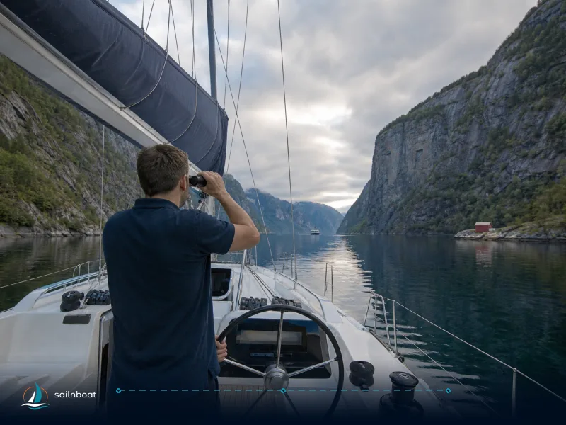
- Trollfjorden / Raftsundet approaches: Trollfjorden has a narrow entrance and steep-sided cliffs. The fjord and the Raftsundet approach are busy with sightseeing craft in summer and can be tricky if wind funnels through the gap; plan to transit in daylight and with a local weather forecast.
- Open crossings to Vestfjorden and the southern islands: these legs expose you to Atlantic fetch; in a southerly or westerly gale conditions can become uncomfortable and require shelter-seeking or delayed passages. Use tide tables and up-to-date weather models before committing to these crossings.
Provisioning Strategies for Your Trip
Harstad and Svolvær function as the operational hubs for provisioning, fuel and pre-charter logistics.
Primary Bases: Harstad and Svolvær
- Services: Harstad and Svolvær both provide fuel, water and basic chandler options and are within walking distance of supermarkets, cafés and marine service providers. Mooring is organised through local harbour payment systems and apps.
- Payment and harbour admin: many Lofoten harbours typically accept mobile payment systems (GoMarina) or Vipps for mooring fees and services. Some harbours add a guest-harbour fee that is handled via those systems. Fees and inclusions change by harbour and season, so plan to carry some NOK cash or have a local payment app set up.
Provisioning tips
- Do your main food/fuel/chandlery run in Harstad or Svolvær before heading into the smaller villages. Smaller rorbuer shops in Nusfjord, Ramberg or Reine may offer basics but not full stock.
- Meal planning: plan flexible menus (one- or two-stove dinners) and ready-to-eat options for weather days. Fresh fish is widely available—if you plan to take local seafood aboard, be clear on storage and preparation.
- Fuel: refuel at Harstad, Svolvær or marked fuel points; check your charter inventory for reserve fuel and range, and carry spare fuel where the yacht’s architecture allows.
- Waste: Norwegian harbours expect you to follow local recycling rules; in remote anchorages, bring waste ashore to official collection points in larger villages.
Crew Experience Requirements
Lofoten’s weather, narrow passages and occasional long exposed crossings mean you should plan crew and credentials deliberately.
Skipper Qualifications
- What charter companies commonly ask for: most reputable charter operators in Norway and the wider Mediterranean look for a recognised practical skipper qualification (ICC, RYA Day Skipper or equivalent) and a clear sailing CV indicating recent offshore/coastal experience. Requirements do vary by operator and by boat size; insist on written confirmation from your charter company of the documents they accept.
- Radio and safety certificates: at least one crew member with a VHF radio operator certificate (SRC or national equivalent) is widely required or strongly preferred; the Norwegian maritime authority lists the radio certificates and their scope. Carry proof.
Crew responsibilities and watchkeeping
- Brief the whole crew on man-overboard procedures, lifejacket and harness use for rough-weather passages, and the Inmarsat/EPIRB/VHF check routine before departure.
- Assign clear night and weather watches — the Lofoten coast can change quickly; fatigue is a real risk on long crossing days.
- If you charter bareboat and lack local experience, consider booking a local skipper for at least part of the week; this is commonly available and removes the single largest operational risk on unfamiliar approaches.
Final planning checklist (operational)
- Charts & pilot books: paper backup plus up-to-date electronic charts for all planned approaches (Trollfjorden, Nappstraumen, Nusfjord, Skrova).
- Weather & tides: check synoptic forecasts and local wind models; time narrow transits for favourable tide conditions.
- Provisioning: main stock-up at Harstad or Svolvær (supermarket and fuel) and small top-ups at Ballstad, Ramberg, or Reine as needed.
- Documentation: skipper certificate, VHF/SRC radio certificate, crew list and charter paperwork to present at handover.
- Mooring money: set up GoMarina/Vipps and carry local currency; expect varied guest-harbour fees and rapid berth turnover in summer.
Plan your departure day conservatively (many local operators hand over boats mid-morning) and build margin for weather delays on your long crossing days. Lofoten rewards careful planning with a mix of sheltered anchorages and exposed passages: treat the itinerary above as a working plan, step it off on your charts, and keep the boat flexible—shelter is plentiful if you choose it, and the exposed crossings are where you should choose prudence over pride.
Frequently Asked Questions
For settled weather, longest daylight and easiest cruising, June–September is the primary season; for ski-and-sail or aurora opportunities, winter/early spring (January–April, with March often the best balance) are valid but require winter gear and planning.
Yes — a practical loop is Harstad → Svolvær → Henningsvær → Ballstad → Ramberg → Reine → Å → Skrova → Svolvær → Harstad; daily legs range from short hops (~4 nm) to longer crossings (~40 nm) and can be split for safety.
Sheltered, well-used anchorages include Skrova (good roadstead and island protection), Henningsvær (inner harbour and pontoons) and Nusfjord (circular protected harbour); typical depths run from roughly 3–15 m depending on the spot.
Trollfjorden and the approaches in Raftsundet are narrow and can be demanding in wind or with heavy tourist-boat traffic; long open-water crossings between the southern islands and Vestfjorden can also be exposed to Atlantic systems.
Use Harstad and Svolvær as your main provisioning and fuelling bases (supermarkets, chandler services, guest harbour); top up fresh produce and fuel there and carry a reasonable reserve for remote days—shops in smaller villages are limited.
Charter operators commonly ask for a recognised skipper certificate (ICC, RYA Day Skipper or equivalent) and evidence of recent offshore/coastal experience; at least one crew member should hold a VHF/SRC-level radio certificate.
Written by
Sailnboat Editorial
The Sailnboat editorial desk covers yacht and boat chartering worldwide — routes, bases, seasons, boat types, paperwork and the practical costs that decide a trip. We are a charter marketplace, not a boat owner or a local agency: what we sell is judgement and support, so our guides are written to help you make a decision, not to sell you a specific boat. Every guide is checked against live operator and marina data before it goes out.
Fact-checked against live operator and marina data, and published under our editorial standards. Last reviewed: .