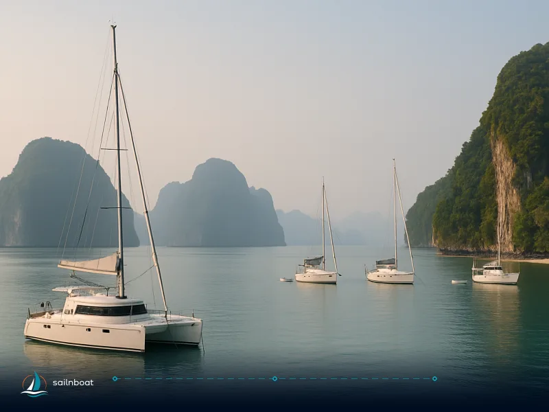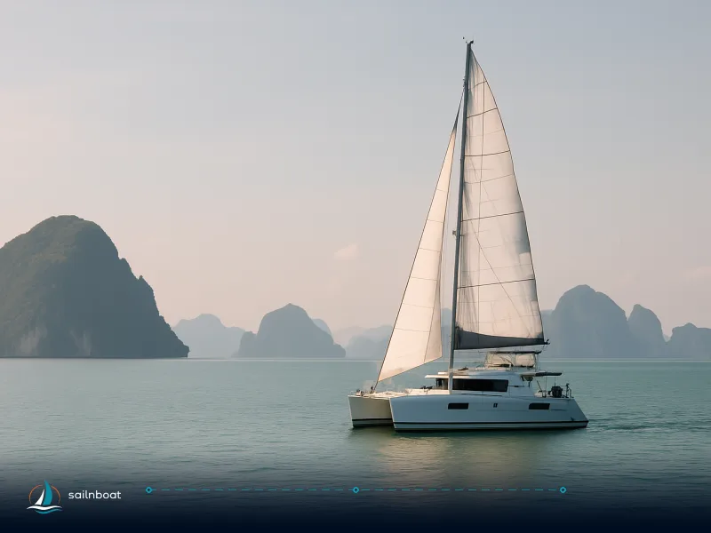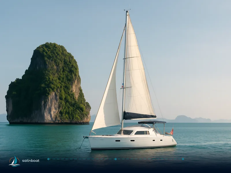
Phuket Tides & Currents: Safe Yacht Charter from Ao Po to Phi Phi
Clear, practical guidance on Phuket tides and tidal currents so you can plan safe passages and tender landings from Ao Po Grand Marina to the Phi Phi islands.

Phuket tides are semidiurnal and significant for every decision between Ao Po and Phi Phi — they change which anchorages are usable, when marinas will accept deep drafts, and when tender landings are safe. Use the Thai Hydrographic tide tables for the precise day, plan arrivals to coincide with slack where you need it, and treat Ton Sai Bay and Loh Dalum differently: Ton Sai gives reliable depths in the centre; Loh Dalum can be impractical at low water.
Understanding Phuket's Tidal Patterns
Phuket sits in the Andaman Sea on a regular semidiurnal tide system — two highs and two lows roughly every 24 hours. That fundamental pattern defines the rules you’ll plan to use: how much depth you lose at low water, when channels run, and when slack water usually occurs.
Phuket's Tidal Range Classification
- Tidal type: semidiurnal (two highs/two lows each day). The official tide tables and hydrographic guidance list Phuket stations as semidiurnal.
- Typical ranges: mean tide amplitude in the Phuket region is commonly cited near ~1.5 m; neap ranges can be below 0.5 m while spring extremes reach about 3.0–3.6 m at some local gauges. Put simply: some anchorages and beaches that look generous at high water are shallow or even exposed at low water on a spring tide.
- King (spring) tides and anomalies: atmospheric pressure and persistent onshore winds can raise or lower observed heights by several tenths of a metre; seasonal monsoon winds will exaggerate surge and seiche effects in shallow bays — factor wind and barometer into your planning, not just the printed height. The hydrographic explanation explicitly warns that tide heights are altered by wind and pressure and that the time of slack current does not necessarily match high/low water.
How this affects you: plan anchorages assuming a working tidal range (typical in‑season value) plus a margin for wind set; where a chart shows 2.0 m at chart datum, a spring tide could raise that to 5.0 m or reduce it close to zero at low water in shallow bays — treat any approach where the depth margin is less than the tidal range as conditional.
Planning Your Passage: Ao Po to Phi Phi
A practical plan must combine distance, vessel speed and the day’s tide/current picture. Distances vary by start point and chosen route (coastal hops versus direct).
- Straight‑line distances to Ton Sai Pier: from Chalong ≈ 26 nm, from Ao Po ≈ 29–38 nm depending on the reference point used; expect a motor yacht to do the trip in roughly 1.5–3 hours and a sailing catamaran to take longer (times vary with boat speed and weather). Use straight‑line figures only as an initial planning metric; your route will be longer when rounding islands or avoiding shoals.
Optimal Sailing Times
- Aim to arrive at your chosen Phi Phi anchorage near slack water or during the part of the tidal cycle that suits that anchorage: Ton Sai Bay is best entered and anchored in moderate water (the bay centre is deep enough morning or afternoon) while Loh Dalum may be impractical near low water. For crew comfort and to beat the day‑boat traffic, a common operational rule is to arrive at Ton Sai before 09:30–10:00.
- Currents: the Andaman Sea tidal streams are generally moderate but can be locally stronger through narrows and around headlands. Do not assume slack equals high/low water — charts and local pilotage notes show the time of current slack can lead or lag the predicted tide by an hour or more in open channels. Use local pilot advice or the Hydrographic Department’s tide/current notes to find approximate slack times for the passage.
- Practical scheduling example (planning logic, not an exact timetable): if you expect to arrive at Ton Sai at 09:00, back‑calculate departure to give your vessel the transit time plus a safety margin for speed‑loss when beating against wind/current; shift the departure earlier if the plan requires entering a shallow channel at higher water. Confirm the marina or port control’s local advice the evening before departure.
Table — Planning comparison (Ao Po → Phi Phi)
| Start | Straight-line nm (approx.) | Typical motor yacht time | Tide/planning note |
|---|---|---|---|
| Ao Po Grand Marina | 29–38 nm | ~1.5–3 h (depends on speed) | Ao Po has 24‑hour access; you don't need to wait for tide to leave. Confirm ETA for Ton Sai. |
| Chalong Pier | ~26 nm | ~1–2 h | Shorter transit makes early morning arrivals to Phi Phi easier; Chalong is a public pier used for ferry ops. |
(Use these rows to choose your departure point and the tidal solution that fits your vessel and day plan.)
Anchorage Considerations in Phuket
Anchorage choice around Phuket and Phi Phi must be informed by bottom type, tidal range, tidal currents and local traffic.
Shallow Reefs and Sandbanks
- Common anchor depths (practical ranges you’ll see in pilot books and local cruising guides):
- Ao Chalong: typically 2–6 m with soft‑mud bottom, good holding but watch traffic and shifting sand. Monitor depth and scope accordingly.
- Racha Yai bays: often 8–15 m in bay centres, but reefs rise quickly near shore — approach with caution and check local notes.
- Ton Sai Bay (Phi Phi Don): centre depths commonly 4–18 m with sandy holding; the east side has a near‑vertical reef rising from >20 m to under 2 m, so enter and anchor on the west side only. Avoid picking up private moorings.
- Reefs that rise quickly: many charts and pilot notes emphasise that reefs off the east side of Ton Sai and several Phi Phi features go from deep to almost dry in short distances — do not rely on a GPS line alone; use depth sounder and visual bearings and enter the bay on the recommended approach.
Anchoring discipline:
- Aim to anchor where low water still leaves you at a safe keel clearance and with enough swing for expected tidal range and wind shifts. As a working rule in Phuket anchorages, assume a tidal swing of roughly 1–3 m during planning and set scope accordingly (more scope for mud/sand seabeds).
- Keep a depth‑watch on approach and set an anchor alarm and watch at night — heavy night traffic and wakes are common in Ton Sai and Chalong.
Table — Anchorages at a glance
| Anchorage | Depth (typical) | Bottom | Tide cautions |
|---|---|---|---|
| Ao Chalong | 2–6 m | Mud | Heavy day traffic; beach exposes at low water. |
| Racha Yai bays | 8–15 m | Sand/rock | Reefs close inshore; prefer bay centres. |
| Ton Sai Bay (Phi Phi Don) | 4–18 m | Sand | Enter on west side; ferry lane and day‑boat wash; east side reef shoals quickly. |
| Loh Dalum (Phi Phi Don) | Very shallow at low water | Sand | Can be impassable to tenders at low water — check table. |
Marina Access and Tidal Variations
Marina choice affects whether tides constrain your times alongside.
- Ao Po Grand Marina: advertised as 24‑hour access with “zero tide restrictions” and minimum depths inside to 3 m and 7 m seaward at chart datum (Ao Po publishes tide tables and references the Royal Thai Navy hydrographic data). That makes Ao Po the practical choice if you need flexible embarkation/departure times. VHF: Ao Po uses channel 69 for operations.
- Royal Phuket Marina / Boat Lagoon (Koh Kaew): these marinas sit behind dredged tidal channels. Royal Phuket states a basin depth of ~4 m at low water and the channel has been dredged to permit round‑the‑clock access for many mid‑size boats, but deep‑draft craft are advised to plan arrival with the rising tide or follow marina instructions. Treat the marina’s published minimum depth as the baseline and confirm with the marina manager for your boat’s draft and the day’s conditions.
Operational guidance:
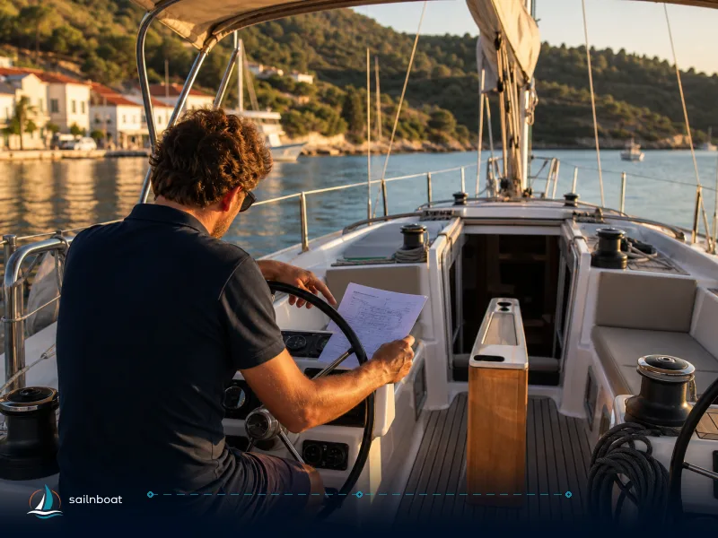
- If your boat draft is close to the published minimum channel depth, plan to arrive on a rising tide and call marina control on the channel shown in the marina help pages the night before arrival.
- Always factor wind and swell: an onshore wind can raise recorded heights and change approach conditions; conversely offshore winds can lower water levels.
Tender Landings at Phi Phi Islands
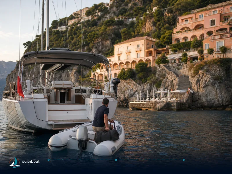
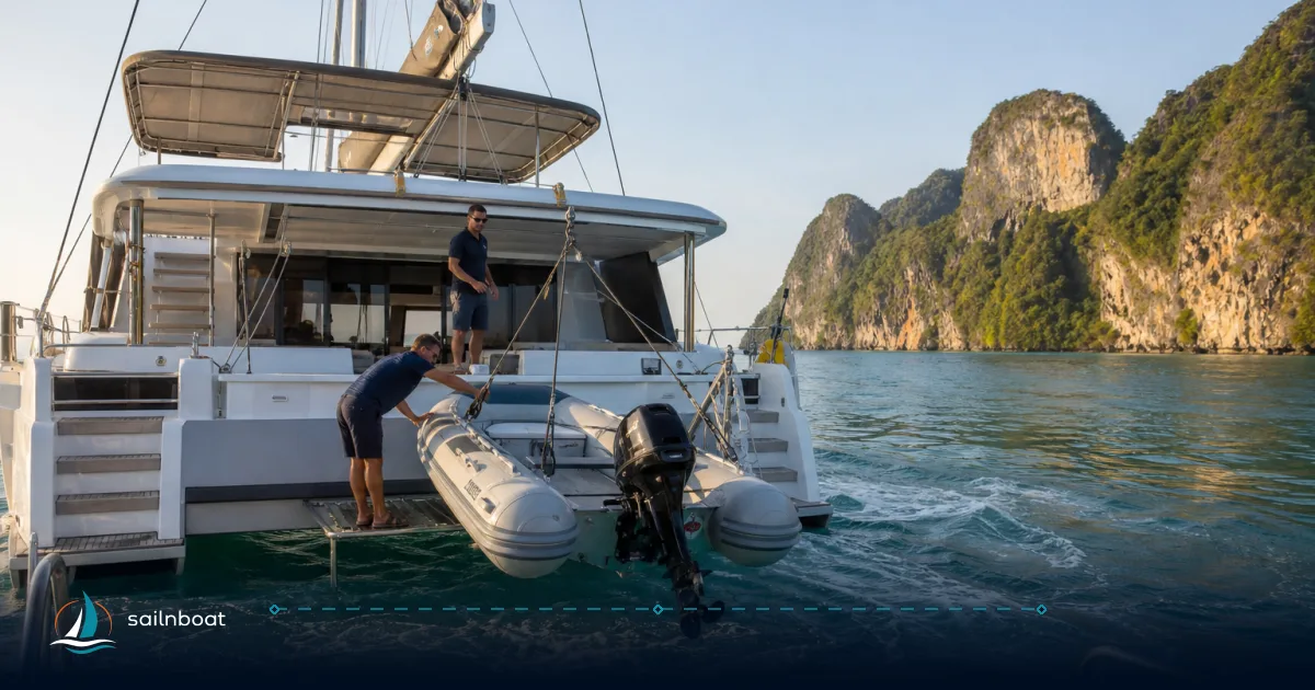
Tendering and beach landings are the highest‑frequency small‑boat manoeuvres you will make — and they are where tides bite if you underestimate them.
Optimal Tide Windows
- Maya Bay / Phi Phi Leh: since the bay’s reopening the authorised landing is from Loh Samah Bay via a designated wooden pontoon and path; operators note that high water gives deeper, easier entry from the transfer boat while low water can expose slippery rock and make the short walk awkward. Check the park’s daily instructions and time your landing to match the period when the water depth suits your crew — a common approach is to choose a mid‑tide to high‑tide landing for comfort with children.
- Ton Sai pier / hospital pontoon (Phi Phi Don): many pilot notes and operator guides say monohulls should come alongside the hospital pontoon at high water; use the west side of Ton Sai for approach and avoid the ferry lane and east reef. Mooring buoys and national‑park rules apply; don’t assume the buoy is free.
- Loh Dalum: the bay dries significantly; plan tender landings at high water or accept a wade/drag ashore when lower — do not commit to night arrivals here if you need to walk easily ashore.
Tender‑landing checklist:
- Check the exact tide heights for the station nearest to Phi Phi the evening before and again at first light (Thai Navy tide tables are the primary source).
- Plan your landing for the calmest hour around high or low water (site‑dependent) and keep an abort point if the swell or current sets into the beach.
- Always brief the shore party: who goes first, who holds the tender, and a clear plan for recovering children and valuables if the tide is advancing or receding.
Practical Tips for Skippers
Best Practices for Safe Navigation
- Primary documents: always load the Royal Thai Navy/Hydrographic Department tide tables for the stations you’ll use (Ao Po references Koh Taphao Noi) and cross‑check with a reputable pilot book for local peculiarities. The Hydrographic Department explicitly notes that tide times and heights are referenced to chart datum and that current slack will not always coincide with high/low water. Use that guidance to find slack windows.
- VHF and port formalities: call the marina or Chalong Yacht Control Centre before arrival for berth/entry instructions; Ao Po publishes VHF 69. Check port entry requirements and ensure you have passports and ship papers ready for quick check‑in at Chalong if you plan to use that pier.
- Watch the weather: monsoon wind direction (NE vs SW season) determines which anchorages are sheltered; a forecasted onshore wind will raise harbour levels and increase difficulty getting off beaches at low water. Regional monsoon notes should be part of your passage plan.
Operational checklist before departure from Ao Po:
- Print the Hydrographic tide table for the day’s stations (Ao Po and Phi Phi/Ton Sai). Confirm planned arrival relative to slack water.
- Call the destination anchorage or Chalong port control for local advice and expected traffic.
- Confirm fuel, water and provisioning windows since park fees and boat traffic can add unexpected minutes to procedures ashore.
- Set anchor alarms, brief the deck team on wake and tender plan; use a second anchor in crowded anchorages if conditions demand.
Final decision points (trade-offs you must make)
- Speed vs comfort: a motor yacht gets you to Phi Phi earlier (more time ashore) but consumes more fuel; a sailing cat may require planning around both wind and tide to avoid slow head‑on passages. Choose your start marina with that trade‑off in mind.
- Flexibility vs schedule: Ao Po gives flexible marina access (no tide restriction) so is less schedule‑sensitive; Koh Kaew marinas require more precise timing for deep‑draft arrivals.
You now have the factual frame to plan: Phuket’s semidiurnal tides with 0.4–3+ m ranges, Ao Po’s 24‑hour access, the dredged but tide‑sensitive Koh Kaew marinas, Ton Sai’s 4–18 m sandy anchorages and the fragile shallows of Loh Dalum and Maya Bay that demand a tide‑aware tender plan. Before you cast off, load the specific Thai Navy tide tables for the day, phone the receiving marina/anchorage, and set your ETA to match the slack or high water window your chosen landing requires.
Acknowledgement: this guide synthesises hydrographic notes, marina data and contemporary pilot and cruising guides for operational decisions — use the day’s official tide predictions and the marina/pilot advice to set the precise times for your passage and tender operations.
Frequently Asked Questions
Phuket’s coast is semidiurnal; mean tidal ranges are typically around 1.5 m with spring ranges that can reach roughly 3 m and neaps near 0.4–0.6 m. That swing changes usable depths at anchorages, exposes beaches and sandbars at low water, and can make enclosed marina channels marginal for deep‑draft boats if you don’t plan your arrival time.
There’s no single hour to sail every day — pick a departure that lets you arrive at your Phi Phi anchorage near slack water (or when the local pilot says slack occurs). For guest convenience and anchoring options, aim to reach Ton Sai Bay before 09:30–10:00 to avoid the day‑boat surge.
Typical anchorage depths: Ao Chalong 2–6 m; Racha bays often 8–15 m; Ton Sai Bay 4–18 m in its centre; Loh Dalum can dry to very shallow at low water. Reefs on the east side of Ton Sai rise quickly from >20 m to <2 m — always approach on the recommended side and monitor depth continuously.
Ao Po Grand Marina publishes round‑the‑clock access and states no tide restrictions; Chalong and the Koh Kaew marinas (Boat Lagoon, Royal Phuket Marina) have tidal channels that were dredged but you should still time departures/arrivals around higher water for deep‑draft vessels and follow marina advice.
Tender landings depend on site: Maya Bay/Loh Samah are easier at mid to high water for deeper wading, while some Phi Phi beaches are easier to cross at lower water but can be slippery and exposed; check the local tide table and plan landings for the calm hour near high or low water depending on the spot and the tidal range that day.
Written by
Sailnboat Editorial
The Sailnboat editorial desk covers yacht and boat chartering worldwide — routes, bases, seasons, boat types, paperwork and the practical costs that decide a trip. We are a charter marketplace, not a boat owner or a local agency: what we sell is judgement and support, so our guides are written to help you make a decision, not to sell you a specific boat. Every guide is checked against live operator and marina data before it goes out.
Fact-checked against live operator and marina data, and published under our editorial standards. Last reviewed: .