14‑Day Passage Plan: Sail from Croatia to Spain
A practical 14‑day passage plan from Split (Croatia) to Valencia (Spain) via Ancona, Sardinia and the Balearics, with daily distances, required speeds, difficulty grades and weather windows.

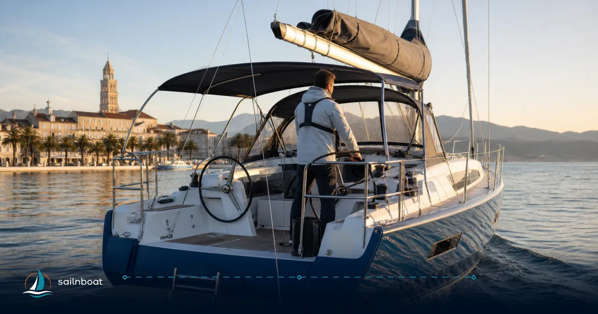
Sailing from Croatia to Spain via Italy, Sardinia, and the Balearics is a demanding but achievable two-week passage for a prepared crew on a mid-size yacht. You should plan on around 1,100–1,250 nautical miles, accounting for coastal detours and the two major offshore crossings. The pace is set by your yacht’s speed, weather windows, and how much margin you allow for rest or mechanical issues. The most critical planning decisions are the timing of the overnight legs—particularly across the Tyrrhenian and from Sardinia to Menorca—and ensuring you have enough fuel and crew rotation for these longer stretches.
How Long Does It Take to Sail from Croatia to Spain? A 14‑Day Passage Plan via Italy, Sardinia & the Balearics
If you plan to sail from Croatia to Spain, expect a passage of roughly 1,100–1,250 nautical miles if you follow a practical route: Split → Zadar → Ancona → Sardinia → Corsica → the Balearics → Valencia. With a well-prepared crew and a mid-size yacht, 14 days is a realistic target, assuming you build in a margin for weather and maintenance. The most demanding sections are the overnight offshore crossings: Ancona to Sardinia and Sardinia to the Balearics.
Overview of the Passage from Croatia to Spain
This route combines coastal navigation (Dalmatian islands, Italian and Sardinian shores) with two or three extended open-water legs. Most days are planned for 10–14 hours underway, but two segments—Ancona to Sardinia and Sardinia to Menorca—will require overnight sailing. These longer legs push you offshore, so planning for weather and crew rotation becomes critical.
Summary Table: Route, Distance, Speed, and Difficulty
| Day | From → To | Distance (NM) | Required Avg Speed (kt) | Difficulty | Operational Notes |
|---|---|---|---|---|---|
| 1 | Split → Zadar | 55–90 | 6–8 | Moderate | Coastal, busy traffic, daylight arrival advised |
| 2 | Zadar → Ancona | 80–110 | 6–8 | Moderate | Adriatic crossing, ferry lanes, TSS near Ancona |
| 3 | Ancona → Sardinia (overnight) | 350–420 | 7–8 | Challenging | Open Tyrrhenian, 45–60 hours underway, sustained watches |
| 4 | Sardinia (Cagliari) → Olbia/Portisco (coastal) | 150–190 | 6–8 | Moderate | Split via Oristano if needed; sheltered inside Sardinia |
| 5 | Olbia → La Maddalena → Bonifacio | 40–110 | 6–8 | Moderate–Challenging | Add miles for La Maddalena; Bonifacio Strait can be windy |
| 6 | Bonifacio → Porto-Vecchio | 20–35 | 5–7 | Easy | Sheltered, short hop |
| 7 | Porto-Vecchio → Ajaccio | 40–70 | 6–8 | Moderate | Cross Corsica’s west, anchorages available |
| 8 | Ajaccio → Calvi | 40–60 | 6–7 | Moderate | Coastal with good anchorages; Scandola is day-visit only |
| 9 | Calvi → Porto Torres | 60–110 | 6–8 | Moderate | Corsica–Sardinia channel; Porto Torres for fuel |
| 10 | Porto Torres → Alghero | 20–40 | 5–7 | Easy | Short run, good provisioning in Alghero |
| 11 | Alghero → Menorca (Mahon) | 200–210 | 7–9 | Challenging | Major Balearic crossing, 28–32+ hrs, plan watches/fuel/weather |
| 12 | Menorca (Mahon) → Palma (Mallorca) | 50–80 | 6–8 | Moderate | Inter-island, well-served ports |
| 13 | Palma → Ibiza | 70–90 | 7–8 | Moderate | Open water, possible overnight arrival |
| 14 | Ibiza → Valencia | 90–110 | 7–9 | Moderate | Final offshore, winds variable in Gulf of Valencia |
Total expected distance: ~1,100–1,250 NM, depending on stop choices and routing. The open-water stretches from Ancona to Sardinia and Alghero to Menorca account for much of the total.
Day‑by‑Day Sailing Legs
1. Split → Zadar (55–90 NM)
A coastal run through the Dalmatian islands. The direct line is shorter, but most crews route around islands, which can add miles. Expect 6–8 hours at 7 knots, but allow more if you’re navigating between islets or stopping for fuel. Daylight arrival is strongly advised due to local traffic.
2. Zadar → Ancona (80–110 NM)
Cross the Adriatic, watching for ferry lanes and traffic separation schemes near Ancona. The ferry route is estimated at around 100 NM, but actual sailing distance may vary depending on departure and arrival marina. Plan for 12–16 hours underway at 7 knots. Night approach to Ancona is feasible, but the port is busy—maintain good watch.
3. Ancona → Sardinia (overnight, 350–420 NM)
This is the longest offshore leg—expect 45–60 hours at 7–8 knots, depending on wind and routing. The passage crosses the Tyrrhenian Sea southwest to Sardinia (Cagliari or a northern port if you route via Elba). If you prefer not to sail two nights at sea, consider a stopover at Elba or Giglio, which increases total days and mileage but reduces offshore exposure. Plan crew watches, fuel, and allow for weather delays.
4. Sardinia (Cagliari) → Olbia/Portisco (150–190 NM)
A coastal passage along Sardinia’s south and east coasts. You can break this into two shorter hops (for example, via Oristano) if needed. Sheltered anchorages are available, and the coastline is less exposed than the open Tyrrhenian.
5. Olbia → La Maddalena → Bonifacio (40–110 NM)
If you loop through the La Maddalena archipelago, you’ll add miles. Bonifacio Strait can be subject to strong winds (Maestrale) and local acceleration. Confirm mooring and park permit requirements for La Maddalena; some anchorages are restricted.
6. Bonifacio → Porto-Vecchio (20–35 NM)
A short, sheltered leg. If the strait is rough, Porto-Vecchio offers a protected alternative to Bonifacio.
7. Porto-Vecchio → Ajaccio (40–70 NM)
Sail up Corsica’s east coast, rounding to the west. Several anchorages are available along the way, but some approaches are narrow or tidal.
8. Ajaccio → Calvi (40–60 NM)
A coastal run; consider a day stop at the Iles Sanguinaires or Scandola Reserve (note: Scandola is day-visit only and has restrictions).
9. Calvi → Porto Torres (60–110 NM)
Cross from Corsica back to Sardinia at Porto Torres, a logical fuel and provisioning stop. The channel can be lumpy in fresh winds.
10. Porto Torres → Alghero (20–40 NM)
Short coastal hop with good marina facilities in Alghero. Useful for rest, repairs, and provisioning.
11. Alghero → Menorca (Mahon) (200–210 NM)
This is your major open-water Balearic crossing. Allow 28–32 hours for a typical sailing yacht. Ensure a solid weather window, rotate watches, and maintain a fuel reserve for motoring if the wind dies. A direct line from Alghero to Mahon is just over 200 NM, but routing for weather may add distance.
12. Menorca (Mahon) → Palma (Mallorca) (50–80 NM)
Inter-island passage with well-served marinas at both ends. Typical direct route is 55–78 NM.
13. Palma → Ibiza (70–90 NM)
Plan for an early start or possible overnight arrival. The Palma–Ibiza route is commonly 70–80 NM.
14. Ibiza → Valencia (90–110 NM)
Final offshore leg to the Spanish mainland. The Gulf of Valencia can present variable winds; target a daylight arrival for easier entry.
Total passage: Your actual NM will depend on detours, weather routing, and whether you opt for additional coastal stops. The corrected total is about 1,100–1,250 NM, with two long offshore legs and several flexible segments.
Average Speeds and Weather Considerations
Practical Speed Targets
- Coastal and sheltered legs: 5–7 knots is a realistic planning speed for 13–16 m cruising yachts, assuming some motoring.
- Long offshore runs: To make single-day or overnight arrivals on 200–420 NM legs, you need 7–8 knots average. If your yacht is slower, split legs or accept late arrivals.
Weather Windows — When to Go
- Best months: Charter season runs May–October. June and September offer a balance of weather and marina space; July–August are peak season and can be crowded, with stronger transient winds in some areas. Autumn brings more variable conditions and occasional storms.
- Local hazards: The Bonifacio Strait accelerates NW winds (Maestrale), often producing steep seas. In the Tyrrhenian, rapid NW fronts can develop. Only attempt these crossings with a stable 48-hour forecast.
Watch and Fuel Planning
- Watch rotation: A two-person watch system (4 hours on/8 off) is standard for overnight passages. Assign a rested navigator for night approaches.
- Fuel margin: For long offshore legs, plan a 15–25% reserve above your calculated burn rate. For most 13–16 m sailing yachts, this means ensuring you can motor for at least 36–48 hours if wind fails. Typical fuel tanks on this size yacht range from 200–400 litres, with average consumption of 4–7 litres/hour under power. Smaller yachts with limited range must route via additional fuel stops (Cagliari, Porto Torres, Palma, Valencia).
Difficulty Grading and Preparation
Difficulty Grades
- Easy: Short, sheltered hops (e.g., Bonifacio–Porto-Vecchio, Porto Torres–Alghero) with minimal offshore exposure.
- Moderate: Typical coastal or inter-island runs, sometimes involving ferry traffic or busy ports (Split–Zadar, Zadar–Ancona, Olbia–Bonifacio, Mallorca–Ibiza).
- Challenging: Long offshore legs (Ancona–Sardinia, Alghero–Menorca). These require sustained speed, robust weather planning, and experienced crew rotation.
Preparation Checklist
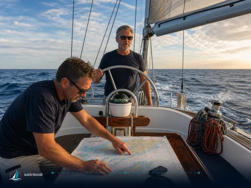
- Charts and pilot books: Paper and electronic coverage for Adriatic, Tyrrhenian, Sardinia, Bonifacio, Balearics.
- Safety gear: Up-to-date liferaft, AIS, EPIRB, jacklines, personal lifelines for night work. Dedicated survival and medical kits for offshore.
- Comms: VHF, and for longer offshore legs, SSB or satellite comms. Know MRCC contacts for Italy, France, Spain.
- Fuel and spares: Confirm refuelling points (Cagliari, Porto Torres, Palma, Valencia). Carry essential engine and steering spares.
- Documentation: Passports, vessel papers, insurance, and operator certificates. Most charter companies require ICC or equivalent, but practices vary.
Sheltered Stopovers and Alternative Routes
Key Stopovers
| Port | Facilities/Notes |
|---|---|
| Zadar | Good marina, rest point before offshore crossing |
| Ancona | Large harbour, provisioning, customs, busy ferry port |
| Cagliari | Major Sardinian base, marina services, refuelling |
| Olbia/La Maddalena | Protected anchorages, national park rules/fees apply |
| Bonifacio | Book ahead in season, weather-dependent strait |
| Porto-Vecchio | Sheltered harbour alternative |
| Palma/Mahón | Balearic hubs, full service, spares, onward connections |
Alternative Routings
- For less experienced crews: Split Ancona–Sardinia into shorter hops via Elba, Piombino, or Giglio. This adds days but keeps you closer to the coast.
- For fast crews: Direct offshore from Ancona to Sardinia, then Alghero to Menorca, minimizes stops but demands experience and reliable fuel range.
- Via Italy’s west coast: Route from Ancona to Livorno or Elba, then to Corsica and Sardinia, for more coastal work and mooring options.
Permits and Mooring
- La Maddalena: Strict daytime transit and mooring rules. Some anchorages are prohibited, and fines are enforced. Check the latest park regulations.
- Bonifacio: High-season berth availability is limited; book in advance. The strait is exposed to gusts—keep a weather day in reserve.
How to Use This Plan Practically
- Pre-departure: Confirm your yacht’s real-world average speed, fuel consumption, and refuelling/provisioning points.
- Forecasting: Use regional models and local bulletins. Never start an offshore leg without a stable 36–48 hour window.
- Watch planning: Assign watch leaders, rotate crew for rest, and designate a navigator for each long leg.
- Contingency: Identify two fallback ports per day. For example, if Bonifacio Strait is closed out, Porto-Vecchio or Propriano are safer options.
FAQs about Sailing from Croatia to Spain
- Total distance? Plan on 1,100–1,250 NM depending on your exact route and stops.
- How many days? A 14-day plan is realistic with two major overnight crossings. Add more days for a slower pace or more stops.
- Recommended stopovers? Zadar, Ancona, Cagliari, Olbia/La Maddalena, Bonifacio/Porto-Vecchio, Ajaccio/Calvi, Porto Torres/Alghero, Menorca, Palma, Ibiza, Valencia.
- Typical average speeds? 5–7 knots for coastal legs, 7–8 knots for long offshore passages if you want to arrive within a day.
- Best months? May–October. June and September are often less crowded with good weather, but conditions vary year by year.
Plan your Croatia–Spain sailing passage with a realistic weather window, flexible routing, and a crew experienced for two major offshore legs. Build in an extra day or two for weather, and don’t commit to a schedule that requires every passage to go exactly as planned.
Frequently Asked Questions
Depending on the exact ports and routing, expect roughly 1,000–1,300 nautical miles for a Split → Valencia route via Ancona, Sardinia and the Balearics; the variation reflects coastal routing choices and whether you hug coastlines or take more direct offshore tracks.
A practical working plan using shorter hops and sheltered stopovers is 14 days, with 2–3 longer overnight crossings built into the schedule.
Key stopovers in this plan: Zadar, Ancona, Cagliari, Olbia (or La Maddalena), Bonifacio/Porto‑Vecchio, Ajaccio/Calvi, Porto Torres/Alghero, then the Balearics (Menorca, Mallorca/Palma, Ibiza) and final arrival Valencia.
Most coastal legs require 5–7 kt average; the longer offshore hops (Ancona→Cagliari, Sardinia→Balearics) need sustained averages of roughly 7–9 kt to keep daily arrival times reasonable.
Late May–June and September give the best balance of mild seas, lighter storm risk, and fewer extreme NW/NE winds across the Tyrrhenian and Bonifacio areas.
Written by
Sailnboat Editorial
The Sailnboat editorial desk covers yacht and boat chartering worldwide — routes, bases, seasons, boat types, paperwork and the practical costs that decide a trip. We are a charter marketplace, not a boat owner or a local agency: what we sell is judgement and support, so our guides are written to help you make a decision, not to sell you a specific boat. Every guide is checked against live operator and marina data before it goes out.
Fact-checked against live operator and marina data, and published under our editorial standards. Last reviewed: .