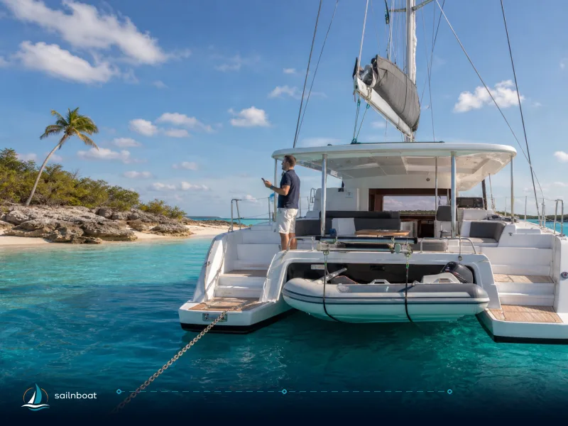
3-Day Exumas Itinerary: Palm Cay (Nassau) to Stocking Island via Staniel Cay
A compact, operational 3‑day sailing route from Palm Cay (Nassau) through Staniel Cay, Big Major (Pig Beach), and Compass Cay to Stocking Island, with realistic passage planning, anchor depths, and timing advice.

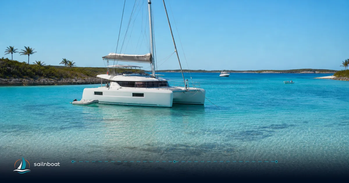
If you are planning a weekend or short break in the Exumas, your charter will start at a real marina base—most likely Palm Cay One Marina near Nassau. Staniel Cay is a highlight, but there are no charter bases there, so you need to plan the passage from your base and allow for the longer initial leg.
Day 1: Palm Cay (Nassau) to Staniel Cay and Big Major Cay
Sailing Details
- Distance and time: Palm Cay (Nassau) to Staniel Cay is about 75–76 NM. At an average cruising speed of 6–7 knots, this is typically a 10–12 hour passage, often started at first light or, for some crews, as an overnight run with a pre-dawn arrival. This is the longest leg of the trip and requires careful planning around weather and daylight.
- Departure window: Plan to depart Palm Cay at sunrise to maximize daylight for the crossing. The Exuma Bank route is shallow in places, so daylight navigation is strongly advised. Most crews reach Staniel Cay by mid/late afternoon if departing early.
Arrival and Activities at Staniel Cay / Big Major Cay
- Staniel Cay: This is your entry point to the central Exumas. Use the marina for fuel, water, and last-minute provisioning. If you need to clear in (if coming from Nassau, you are domestic, but if arriving internationally, have documents ready).
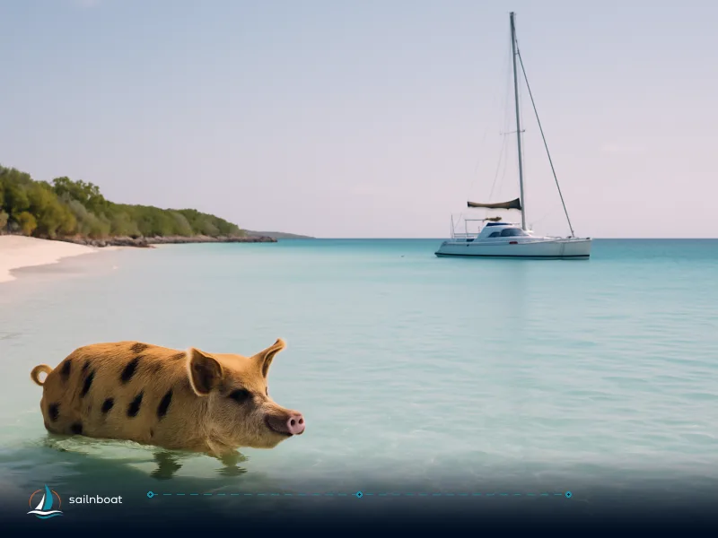
- Big Major Cay (Pig Beach): From Staniel Cay, it’s a short hop to anchor off Big Major. The Pig Beach is best visited early the next morning, but you can anchor and settle in the evening.
- Thunderball Grotto: Located adjacent to Staniel Cay, this can be visited if you arrive in time for a slack or low-tide window. Otherwise, plan for next morning.
Mooring Information
- Big Major anchorage: Anchor on the west side in sand, typically 2–3 m (6.5–10 ft). Holding is generally good in sand, but avoid grass and coral heads. The anchorage is sheltered from easterly winds but exposed to northers.
- Practical checks: Set a long scope, use an anchor alarm, and leave room for swinging. The area can be busy in high season—arrive before dusk for the best choice of spots.
Day 2: Big Major Cay to Compass Cay
Sailing Details
- Distance and time: About 8 NM, typically 1 hour at 6–8 knots. Depart mid-morning after visiting Pig Beach for a relaxed passage.
- Timing: Aim to arrive by early afternoon to secure a marina berth or anchoring spot and leave daylight for activities.
Activities at Compass Cay
- Nurse-shark swim: The marina is known for its resident nurse sharks. Entry is controlled by staff; follow their guidance for both safety and animal welfare.
- Other activity: Dinghy to nearby sandbars (Pipe Cay Alley) or explore the marina’s beaches and shallow channels.
Mooring Information
- Marina vs. anchoring: Compass Cay Marina offers dockage (check current rates, typically USD 4–5/ft, plus landing/person fee in the mid-teens USD). There are also sandy areas to anchor in the nearby channel with depths typically 2–3 m (6.5–10 ft). Marina space is limited; anchoring is a common option.
- Holding and depth: The channel is sandy with good holding, but mind tidal swings and coral heads.
Day 3: Compass Cay to Stocking Island (Elizabeth Harbour)
Sailing Details
- Distance and time: Around 14 NM, plan 1.5–2 hours underway. Leave early for maximum time at Stocking Island.
- Departure window: Early departure is best to ensure arrival with plenty of daylight for anchoring and activities.
Activities at Stocking Island
- Thunderball Grotto (optional on return): If you missed the Grotto on Day 1, plan a stop on the return leg (see alternate options below).
- Chat ’N’ Chill and beaches: Anchor off Volleyball Beach/Chat ’N’ Chill for food, drinks, and a beach atmosphere. Dinghy ashore for local food and access to the lively cruiser scene.
- Snorkeling: The east side and sand flats offer easy snorkeling; for deeper reefs, consider a local guide from George Town.
Mooring Information
- Anchorage depth: Anchor in sand, typically 4–5 m (13–16 ft) off Stocking Island. The holding is good and protection from the easterly trades is reliable.
- Mooring field: There is a mooring field along Chat ’N’ Chill to Sand Dollar Beach. Some moorings accept visitors for a modest fee and are suitable for vessels up to about 60 ft, but check with local operators for current limits and rates.
- Dinghy traffic: Expect busy conditions at peak times; anchor clear of swim areas and set an anchor alarm.
Return Passage: Stocking Island to Palm Cay (Nassau)
- Distance and time: The return from Stocking Island to Palm Cay is a substantial passage, typically over 80 NM. Allow a full day (10–13 hours at 6–8 knots) or plan for an overnight run if time is tight. Many crews break this leg with a stop at Staniel Cay or Highbourne Cay for rest and fuel.
- Planning: Monitor weather for the crossing; the Exuma Sound can be exposed in strong easterly winds. Depart early to ensure daylight arrival at Palm Cay.
Navigational Considerations
Shallow Areas and Coral Reefs
- Exuma Bank: Most of the Exuma Cays sit on the shallow bank (generally 2–4 m, 6.5–13 ft), with scattered coral heads and seagrass. Read the water with the sun high, use updated charts and your depth sounder.
- Draft planning: If your draft is over 1.2 m (4 ft), time bank crossings for higher tide; ask your base for local advice on specific channels.
- Cuts and channels: Always use marked cuts; local knowledge is valuable—ask at each marina for updated channel advice.
Weather and Tides
- Wind patterns: Expect persistent E–NE trade winds in season, typically 10–20 knots. Plan routes with prevailing winds in mind.
- Tides: Tidal range is modest (typically less than 1 m), but currents in cuts can be strong. Time tricky entries, like Thunderball Grotto, for slack or low water.
Wildlife Interactions and Local Regulations
Swimming with Nurse Sharks
- Compass Cay: The nurse sharks are habituated and generally docile. Follow staff instructions and do not feed or harass the animals. Shark feeding is discouraged outside supervised activities.
Iguana Feeding and Protected Species
- Protected wildlife: Northern Bahamian rock iguanas and other species are legally protected. Do not feed wildlife, and follow posted rules on protected cays.
Tips for a Successful Trip
Arrival and Departure Times
- Arrive: Plan to reach anchorages by mid-afternoon for best choice of spots and daylight for activities.
- Depart: Leave after sunrise for safe bank crossings and to align with tide windows.
Skipper Checks and Packing
- Navigation: Carry paper charts, check your depth sounder and anchor alarm, and preload your route into your plotter. Ask your base for waypoints and local channel notes.
- Safety: Bring a spare mask/snorkel, reef-safe sunblock, cash for small fees, and a portable VHF/phone with a local SIM.
- Boat checks: At handover, confirm tender condition, bilge pumps, fuel, and water levels. Most bases require the boat to be returned clean and with full tanks or as agreed.
Local Guides and Excursions
- Guides: Use local skippers for Thunderball Grotto timing or crowded anchorages. Book popular excursions early in high season.
Quick Itinerary Table (At-a-Glance)
| Day | From | To | Distance (NM) | Est. underway |
|---|---|---|---|---|
| Day 1 | Palm Cay (Nassau) | Staniel Cay / Big Major Cay (Pig Beach) | ~75–76 + <2 | ~10–12 hr + 10–30 min |
| Day 2 | Big Major Spot | Compass Cay | ~8 | ~1 hour |
| Day 3 | Compass Cay | Stocking Island (Chat ’N’ Chill / Elizabeth Harbour) | ~14 | ~1.5–2 hours |
| Return | Stocking Island | Palm Cay (Nassau) | >80 | ~10–13 hours |
| Total | ~180 | ~23–28 hours |
Times assume cruising speeds of 6–8 knots and calm conditions; adjust for weather and vessel.
Final Checklist Before You Go
- Confirm dockage and landing fees at Compass Cay Marina and have small cash for tips and services.
- Check tide tables for Staniel Cay and Thunderball Grotto; plan visits for slack/low tide.
- Ensure your cruising permit and documentation are up to date; keep passports and Q flag visible if clearing in.
- Pack reef-safe sunscreen, spare snorkel gear, and set anchor alarms in busy anchorages.
- Allow for longer first and last passage days—plan rest and fuel stops if needed.
A successful Exumas weekend charter means starting at a real base, planning for the longer initial passage, and timing your visits to Staniel Cay, Pig Beach, Compass Cay, and Stocking Island for both comfort and access. Respect anchoring rules, local wildlife, and the practicalities of Exuma Bank navigation, and you’ll maximize both safety and enjoyment in your 3-day window.
Frequently Asked Questions
Palm Cay (Nassau) to Staniel Cay is the longest leg, about 68 NM (typically 10–12 hours underway at 6–7 knots, often done as a full-day or overnight passage). Staniel Cay → Big Major Cay is a short 1–2 NM (10–30 minutes). Big Major → Compass Cay is about 8 NM (1 hour). Compass Cay → Stocking Island is around 14 NM (1.5–2 hours). Total distance for the full loop is roughly 90–95 NM.
Compass Cay Marina typically lists dockage at about USD 4–5 per foot and a day-visitor/person landing fee in the mid-teens USD; always confirm rates on arrival. Stocking Island’s anchorage at Chat ’N’ Chill is free to anchor; the mooring field (when available) is usually modestly priced and mainly supports vessels up to about 60 ft, but check with local operators for current limits and charges.
Early morning (07:00–09:00) is best for fewer crowds and cleaner conditions. Weekdays and shoulder seasons are quieter. Pig activity and beach conditions are better earlier.
Use up-to-date charts and a depth sounder, plan bank crossings at higher tide if your draft is over ~1.2 m, follow marked cuts and local channel advice, and avoid anchoring on coral or seagrass.
Sharks and rock iguanas are protected; feeding wildlife is discouraged or restricted, especially in park zones. Follow marina and park rules, and heed local staff or warden advice.
Expect persistent E–NE trade winds, especially December–April (10–25 knots). Hurricane season is June–November; monitor forecasts closely.
Yes. Local guides operate out of Staniel Cay and George Town for Thunderball Grotto and reef trips. Compass Cay marina staff can arrange nurse-shark swims. Book ahead in high season.
Written by
Sailnboat Editorial
The Sailnboat editorial desk covers yacht and boat chartering worldwide — routes, bases, seasons, boat types, paperwork and the practical costs that decide a trip. We are a charter marketplace, not a boat owner or a local agency: what we sell is judgement and support, so our guides are written to help you make a decision, not to sell you a specific boat. Every guide is checked against live operator and marina data before it goes out.
Fact-checked against live operator and marina data, and published under our editorial standards. Last reviewed: .