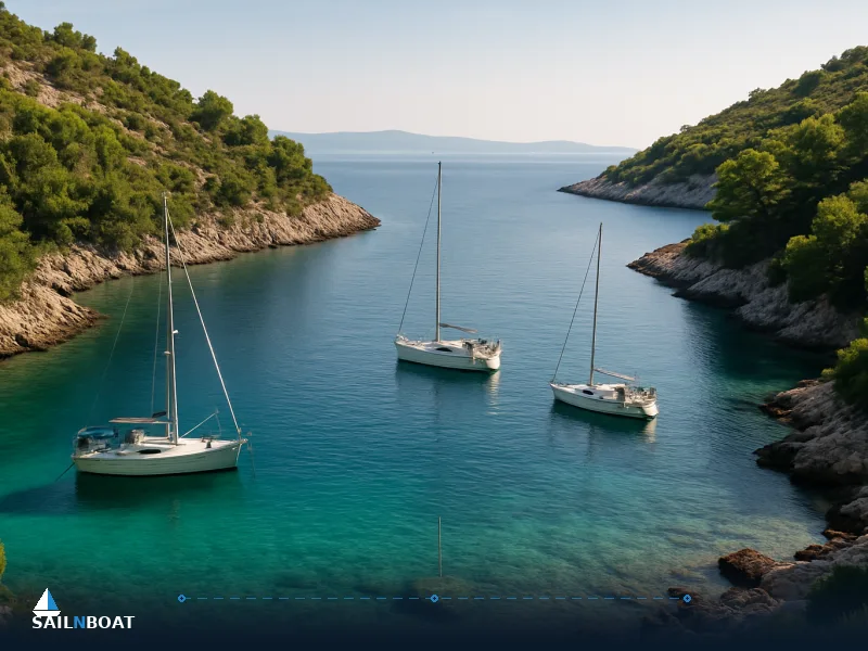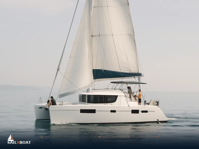
5-Day Croatian Sailing Itinerary from Split
A tight 5-day sailing loop from Split that covers Brač, Hvar, Vis and Korčula with daily distances, practical anchoring and timing so you can plan each day at sea.

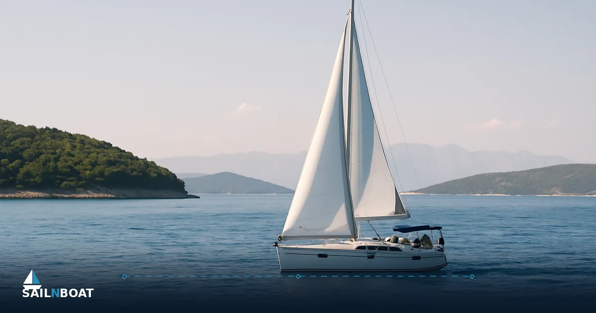
This 5-day Croatian sailing itinerary from Split gives you day-by-day legs, practical distances in nautical miles, and realistic sailing times so you can plan provisioning, berthing and weather windows without guesswork.
Day 1: Split to Brač Island
Route Overview
- Distance: 10–12 nautical miles (Split — Milna, Brač).
- Estimated sailing time: 2–3 hours for a typical charter monohull (average 6–7 kt); 1.5–2.5 hours for faster catamarans or if you motor at 8–10 kt. Times vary with your exact berth in Split and the chosen track through the Split Gates.
Why Milna (Brač)?
- Milna sits on Brač’s western head and is the obvious first-night stop: close to Split, well sheltered from southerly swell, and it shortens the next day’s crossing to Hvar. Ferries and local services make it practical to provision ashore on arrival. Milna has a shallow approach on the eastern side of the bay; watch depths and go slowly into the town quay if space is tight. Mooring details:
- Mooring options: ACI Milna marina berths, town quay (seasonal), and privately run moorings / restaurant buoys in the outer bay.
- Depths: expect 3–8 m inside the bay; some berths at the town quay are shallower and better for moderate drafts.
- Facilities: water, electricity at marina berths, small chandlery, restaurants and a bakery within easy walking distance.
- Fees: marina or serviced moorings commonly charge per metre; expect rates typically around 10–13 EUR per metre per night in shoulder months, with higher prices in high season and variation by operator. Practical tips for Day 1
- Check‑in at your base in Split usually completes in the morning; most charters hand over the boat in the morning, though times vary by operator.
- Top up fresh water or fuel in Split if you plan to anchor off Milna; fuel is available in Milna but at a smaller facility and often more expensive.
- If you want a quiet evening, pick a buoy inside the bay rather than the town quay; restaurant buoys can be convenient but limit privacy and may restrict dinghy landing hours.
Day 2: Brač Island to Hvar Island
Route Overview
- Distance: the distance from Milna to Hvar Town via the Pakleni Islands varies by route; confirm with your operator or chart for the exact mileage.
- Estimated sailing time: 4–5 hours for a typical monohull cruising 6–7 kt; allow less for a catamaran or when motoring at higher speeds. Choose your track: a direct crossing keeps you in open water and is quickest; a more sheltered route hugs the southern side of Brač then passes the Pakleni Islands (Pakleni Otoci) before entering Hvar Town harbour. The Pakleni chain is lovely for a lunch stop and offers several sheltered bays for swimming.
Recommended Anchorage: Hvar Town
- Mooring options: town quay (busy in summer), ACI Marina Palmižana on Sveti Klement (nearby), and mooring fields around the Pakleni Islands.
- Facilities: fuel, groceries, multiple restaurants and bars, ship chandler, and good provisioning options in Hvar Town.
- Fees: town quays and marina berths typically charge by the metre; town quay berth fees in high season vary; confirm current rates with the quay operator or marina office. Practical approach and berthing
- Hvar harbour can be crowded in July–August; if the quay is full, take a buoy in the Pakleni Islands and tender ashore. The entrance to Hvar harbour is straightforward but watch for heavy ferry and hydrofoil traffic.
- If you need fuel, plan to arrive earlier in the day—fuel berths sometimes close before evening in peak season.
Local Cuisine and Culture
- What to try: local seafood (grilled fish, squid), peka or pašticada in tavernas, and local wines from Hvar’s vineyards. Expect simple, fresh plates in konobas and higher‑end dining in town.
- Cultural stops: walk the short climb to the Spanish Fortress for views, stroll the harbour promenade, and browse small galleries and shops. If you have extra time, a taxi boat to a Pakleni beach for an evening swim is straightforward.
Day 3: Hvar Island to Vis Island
Route Overview
- Distance: the distance from Hvar Town to Komiža, Vis, varies by route; check your chart or route planner for the exact mileage.
- Estimated sailing time: 3–4 hours for a standard charter yacht. This leg crosses more open water; on a summer Maestral day it is an enjoyable reach, but in unstable conditions it can become bumpy. Check forecasts before casting off. There are options to stop at the western Pakleni or on the north side of Vis if weather demands.
Recommended Anchorage: Komiža (Vis)
- Mooring options: town quay and public buoys; there are also sheltered anchorages nearby if you prefer to anchor off.
- Facilities: shops, bakeries, several restaurants, and water supply at the quay during most of the season.
- Fees: town quay or buoy fees in Komiža vary; check with the local harbour authority or operator for current rates. Safety considerations on the approach
- Near Vis harbour watch for submerged rocks and reef lines close to shore; approach at reduced speed and follow local buoys.
- Komiža’s entrance can be exposed to a northerly Bora gust; if a Bora is forecast, delay the approach or pick a more sheltered bay on Vis’s south coast. Onshore recommendations
- Komiža is fishing‑village simple: try tuna or squid dishes and stop by the small museums that explain island life. Fuel and basic provisioning are available but limited—top up earlier if you need specific items.
Day 4: Vis Island to Korčula Island
Route Overview
- Distance: the distance from Komiža to Vela Luka varies by route; consult your chart or route planner for the exact mileage.
- Estimated sailing time: 5–6 hours depending on boat speed and sea state. This is the longest open-water day in the loop. You cross the central Adriatic and may encounter shipping traffic and occasional fishing lines. Start early when you expect lighter winds and build a margin for a later finish.
Recommended Anchorage: Vela Luka (Korčula)
- Mooring options: municipal marina berths, private quays and buoys in the bay.
- Facilities: fuel, water, supermarkets, restaurants and some repair services in Vela Luka.
- Fees: marina or quay fees in Vela Luka vary; confirm current rates with the marina or quay operator. Cultural Experience in Korčula
- If time allows, head ashore to explore olive terraces and local wineries. Korčula town (further east) claims a Marco Polo connection and offers narrow streets and fortified architecture; Vela Luka has a quieter, local atmosphere.
- Taxis or local ferries connect Vela Luka with Korčula town if you prefer the UNESCO‑style streets for an evening ashore.
Day 5: Korčula Island to Split
Route Overview
- Distance: the distance from Vela Luka to Split varies by route; check your chart or route planner for the exact mileage.
- Estimated sailing time: 6–7 hours for a standard monohull; catamarans or faster motor yachts will be quicker. Choose your return track. A straight line back to Split is the shortest; alternatively, call in to the sheltered Drvenik Veli or island of Šolta for a lunch break if you want to avoid a long final run.
Final Tips
- Check the weather and wind window the morning you depart—late afternoon Sea breeze (Maestral) commonly builds in summer but forecast can change quickly.
- Allow extra time for disembarkation procedures in Split; most bases require the boat returned with the same level of fuel and cleanliness noted at check‑out and may expect you back by mid‑afternoon on the final charter day.
- Plan your provisioning so last fresh items are bought in Korčula or on the return via Šolta or Split—major supermarkets and specialist stores are easiest in Split.
Local regulations, permits and check‑in essentials
- Qualifications: many Croatian charter companies require a recognised skipper qualification and a VHF operator certificate; the International Certificate of Competence (ICC) is widely accepted but not universal—your charter base will state their requirements.
- Paperwork: at check‑in you'll normally present IDs/passports for all crew, the skipper’s licence, and the charter contract. The base will run an inventory, note engine hours, and agree the fuel and security deposit arrangements.
- Customs and border: if you keep to Croatian coastal waters on a domestic charter there are no border formalities; if your itinerary crosses international borders, standard customs rules apply. Ask your charter company if your boat’s documentation or insurance imposes special restrictions.
- Protected areas: several marine and nature parks exist in the region with rules on mooring and anchoring; fines for anchoring inside prohibited zones are widely enforced. Many parks require mooring only to designated buoys.
Typical weather windows and local wind patterns
- Best months: May–June and September provide reliable sailing with lower crowds and steady Maestral sea breezes. July–August bring a daily Maestral (NW) that fills in midday and eases overnight—excellent for daytime reaching but busier harbours.
- Bora and Jugo: gusty NE Bora winds are most likely in late autumn to early spring and can arrive suddenly; Jugo (southerly swell) brings longer, uncomfortable seas and is associated with storm systems. Always check 24–48 hour forecasts before open-water legs.
- Forecasting: use official marine forecasts, a reputable routing app, and local harbourmaster updates; watch for sudden increases in wind strength when crossing exposed channels.
Provisioning, cuisine and on‑shore priorities
- Provisioning: Split has the best selection of supermarkets, bakeries and specialist stores; Hvar and Vela Luka have good local markets and smaller supermarkets; Komiža and Milna are more limited—top up essentials in Split before departure.
- Local food: expect island menus heavy on grilled fish, octopus, shellfish, olive oil, and island wines; try local cheese and seasonal produce in konobas. Many restaurants sell takeaway platters suitable for a boat picnic.
- Water and fuel: fill tanks in Split or larger marinas; smaller islands sell diesel but expect higher prices and limited opening hours outside main season.
Safety considerations and emergency planning
- Emergency contacts: call EU emergency number 112 for immediate help; monitor VHF Channel 16 and contact the Croatian Coast Guard or your charter company if you have any doubt. Keep a paper list of local harbourmaster numbers for ports you will visit.
- Safety equipment: carry lifejackets for all aboard, a liferaft suitable for your crew size when required by the vessel’s safety plan, an EPIRB or PLB, and functioning flares. Check the boat’s safety equipment at handover and ensure familiarity with the bilge, fire extinguishers, and engine stop procedures.
- Hazards to watch: restaurant buoys (often tied in shallow areas) and farmed fish pens—both are common and sometimes unlit at night; local fishermen’s nets and longlines are a hazard in some areas. Night approaches into unfamiliar harbours carry extra risk—prefer daylight arrivals.
- Navigation: carry up‑to‑date charts (paper and electronic) and consult local Notices to Mariners for changes. Give wide berth to marked shallow areas and reef lines; when in doubt, reduce speed and send a crew member forward with a handheld VHF and radar/plotter guidance.
Practical checklists and decision points
Pre‑departure from Split
- Confirm boat inventory, take photos of any pre‑existing damage, and record engine hours.
- Verify insurance cover and any skipper qualification acceptance in writing.
- Fill fuel and water if you plan prolonged anchoring away from major marinas.
Daily routine while cruising
- Morning: check 24–48h weather, file float plan with the base or a crew contact, confirm next berth availability by VHF/phone if possible.
- En route: keep a safe navigational watch, post someone forward during approaches, and avoid tight entries in high swell or gusts.
- Evening: secure the boat to shore power if you need water/electricity and inspect moorings for chafe or shifting lines after dark gusts.
Costs and budget markers to plan for
- Mooring fees: expect a wide seasonal range; as a simple planning figure use 40–60 EUR per night for popular town quays/marinas, higher in peak months and for large boats.
- Fuel: factor a day’s fuel per open‑water leg if you anticipate motoring; fuel is cheaper at major marinas and more costly on smaller islands.
- APA (for crewed charters): often 20–30% of charter fee where applicable—ask your operator for specifics.
Final navigation and handover
- Arrival back in Split: give yourself a buffer to return the boat with the agreed level of fuel and cleanliness; many charter companies expect return by mid‑afternoon on the last day of the charter.
- Handover checklist: walk the boat with the base, compare the inventory, and keep copies of any damage reports. Retain receipts for any marina fees or fuel taken on board.
Start planning your Croatian sailing adventure with realistic margins for weather and harbour availability: the central Dalmatian islands fit comfortably into a 5‑day loop if you prioritise a couple of on‑island experiences and accept one or two longer open‑water passages. Choose where you want the extra time ashore—Hvar’s nightlife, Vis’s island calm or Korčula’s wines—and build the route around those priorities. CTA: Start planning your Croatian sailing adventure today.
Frequently Asked Questions
Leg distances vary with exact berths; plan roughly Split→Milna 10–12 NM (2–3 hrs), Milna→Hvar 15–20 NM (3–4.5 hrs), Hvar→Komiža (Vis) ~16–20 NM (3–4 hrs), Komiža→Vela Luka ~30–32 NM (5–6.5 hrs), Vela Luka/Korčula→Split 35–63 NM depending on start (6–12 hrs). Times depend on boat type (6–10 kt cruise) and conditions.
Use ACI Milna (water/electricity), Hvar town quay or ACI Palmižana (Pakleni) if Hvar fills, Komiža town quay/buoys, and Vela Luka town quay or Plitvine anchorage; daily fees typically run by metre in marinas or a flat-per-metre buoy/town quay rate (wide seasonal ranges; expect higher rates in July–August).
Charterers routinely need a recognised skipper qualification plus a VHF operator certificate; foreign yachts and commercial operation face administrative notification and cabotage rules that have seen recent updates — check the charter base and Ministry guidance before arrival.
May–June and September balance reliable Maestral afternoon breezes, milder crowds and steadier weather; July–August sees consistent Maestral but much busier anchorages.
File your plan with MRCC/harbourmaster, monitor VHF Channel 16, have lifejackets/EPIRB, watch for restaurant buoys and fish farms, and give open-water legs conservative margins for changing Bora or Jugo conditions.
Written by
Sailnboat Editorial
The Sailnboat editorial desk covers yacht and boat chartering worldwide — routes, bases, seasons, boat types, paperwork and the practical costs that decide a trip. We are a charter marketplace, not a boat owner or a local agency: what we sell is judgement and support, so our guides are written to help you make a decision, not to sell you a specific boat. Every guide is checked against live operator and marina data before it goes out.
Fact-checked against live operator and marina data, and published under our editorial standards. Last reviewed: .